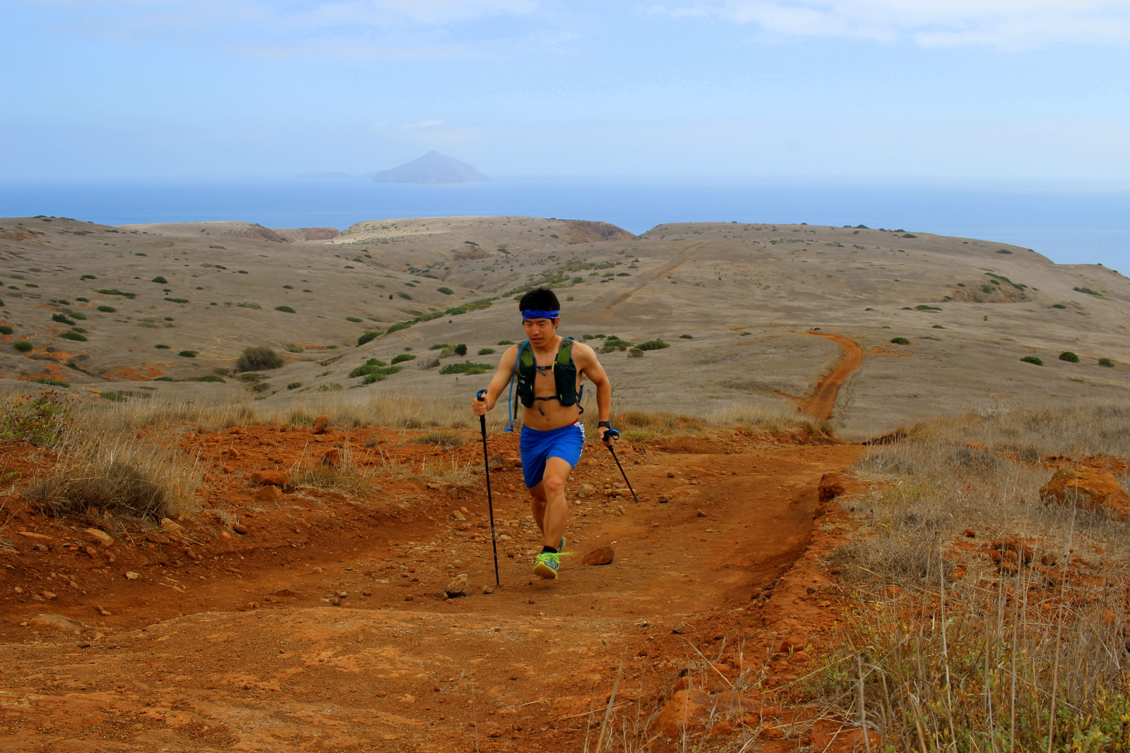
Today was all about final prep for tomorrow's Rim-to-Rim run. I planned to get to the Grand Canyon early in the afternoon, catch a glimpse of the canyon, check in at the North Rim campground, and then do nothing but relax and prepare for the day ahead. I managed to do all of this without any hitches.
I started the day engaged in the fine art of pancake-making. Because my Airbnb host had an excellent griddle, I was able to make stacks on stacks of pancakes. I'm not even exaggerating; I made a massive double-batch of high-protein Birch Benders. Whatever was left over, I'd nom on continuously while on the road.
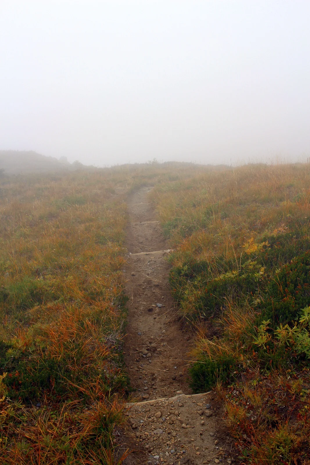
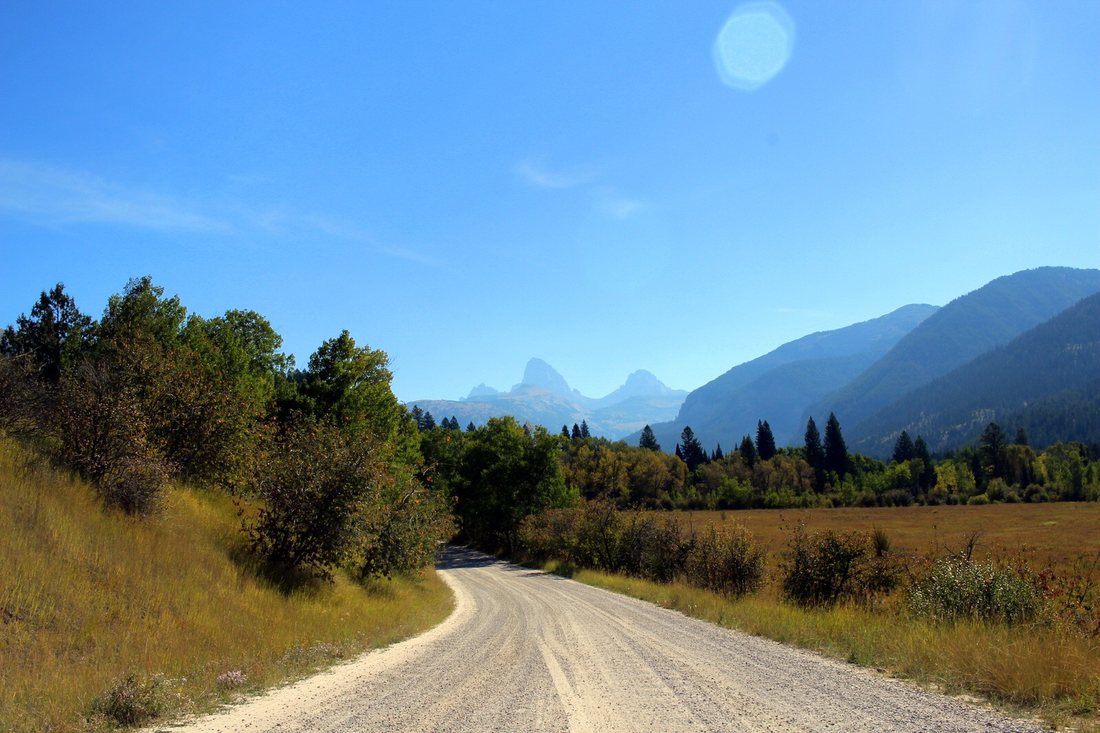
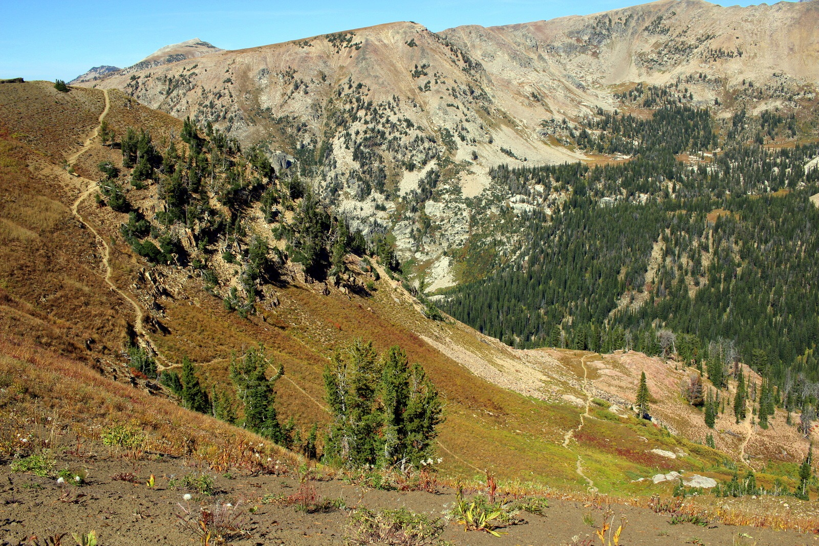
Janiece's house was smack dab in the middle of nowhere (I don't think her "town" even shows up on a map). But it was conveniently just a few hundred yards south of the border to Grand Staircase-Escalante National Monument. I stopped by the visitor center to learn more about the geology of the region.

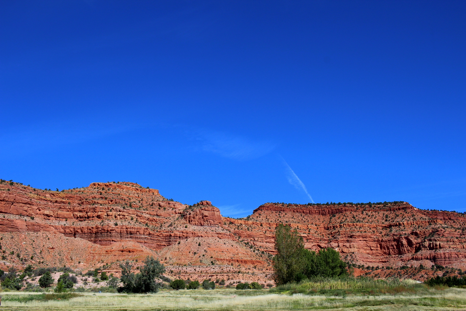
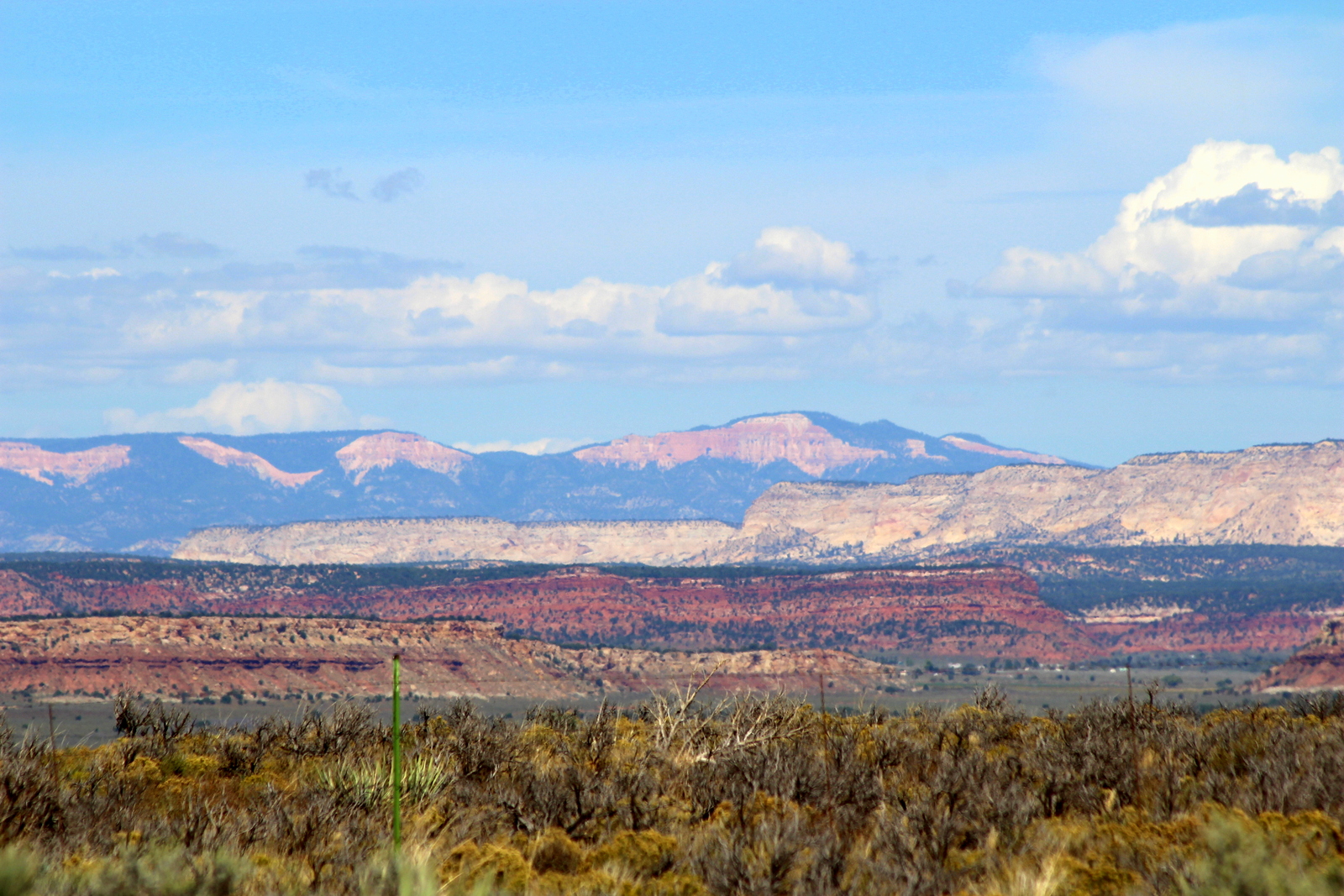
I learned that, for the past few days, I'd basically been descending what geologists call the Grand Staircase. The Grand Staircase describes the successive layers of rock that stretch from the bottom of the Grand Canyon at the southernmost point to the top of Bryce Canyon at the northernmost point. Over millions of years, Mother Nature had basically worn this region down so that you could see these distinct layers. On the drive south towards the Grand Canyon, I stopped and looked to the north. I could immediately see what was meant by the Grand Staircase.
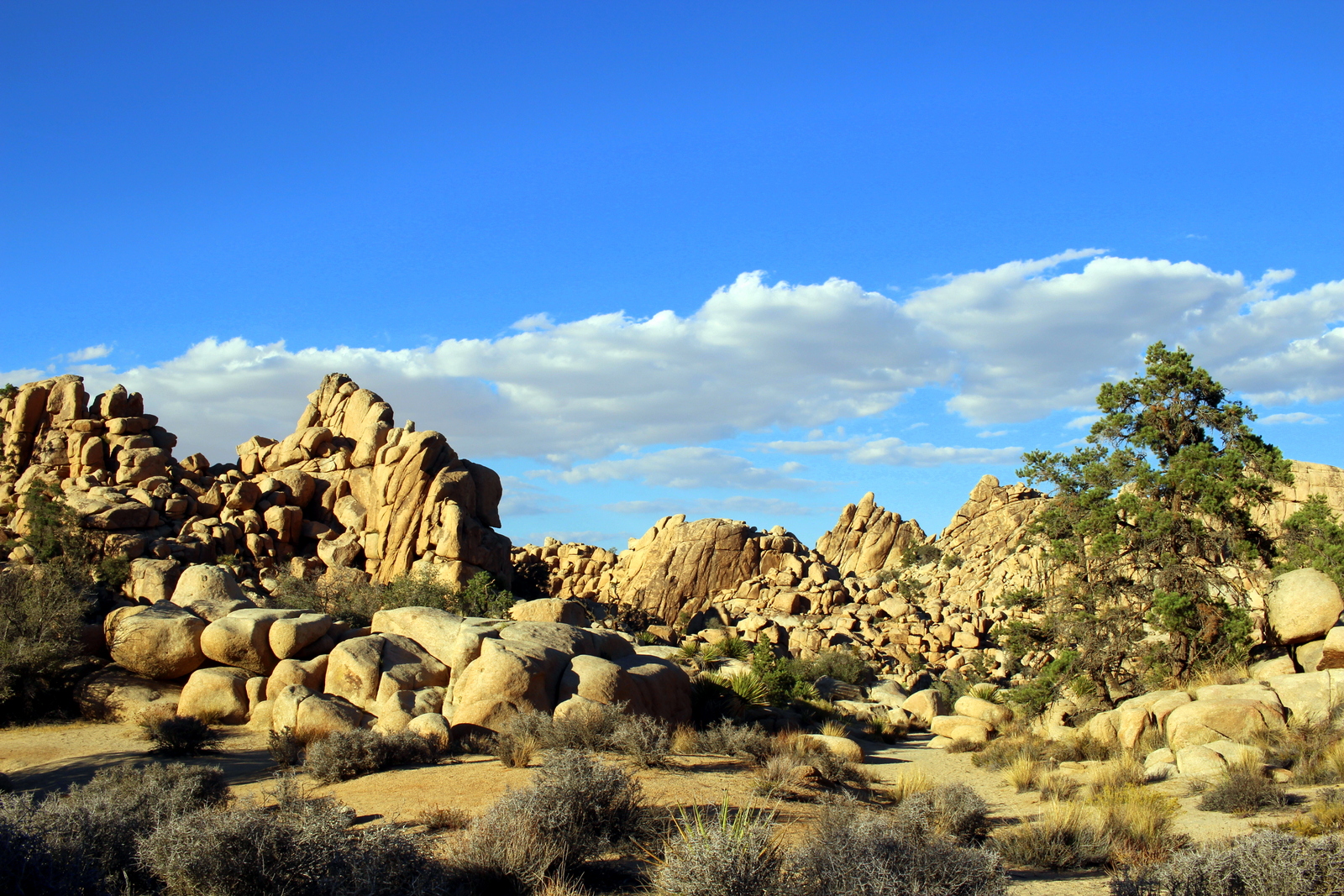
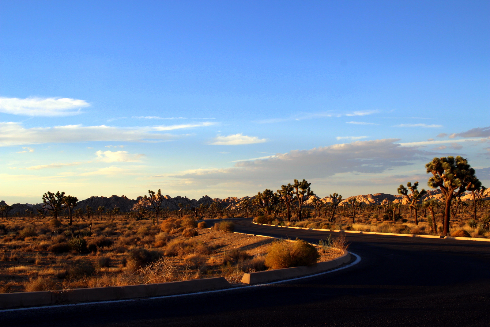
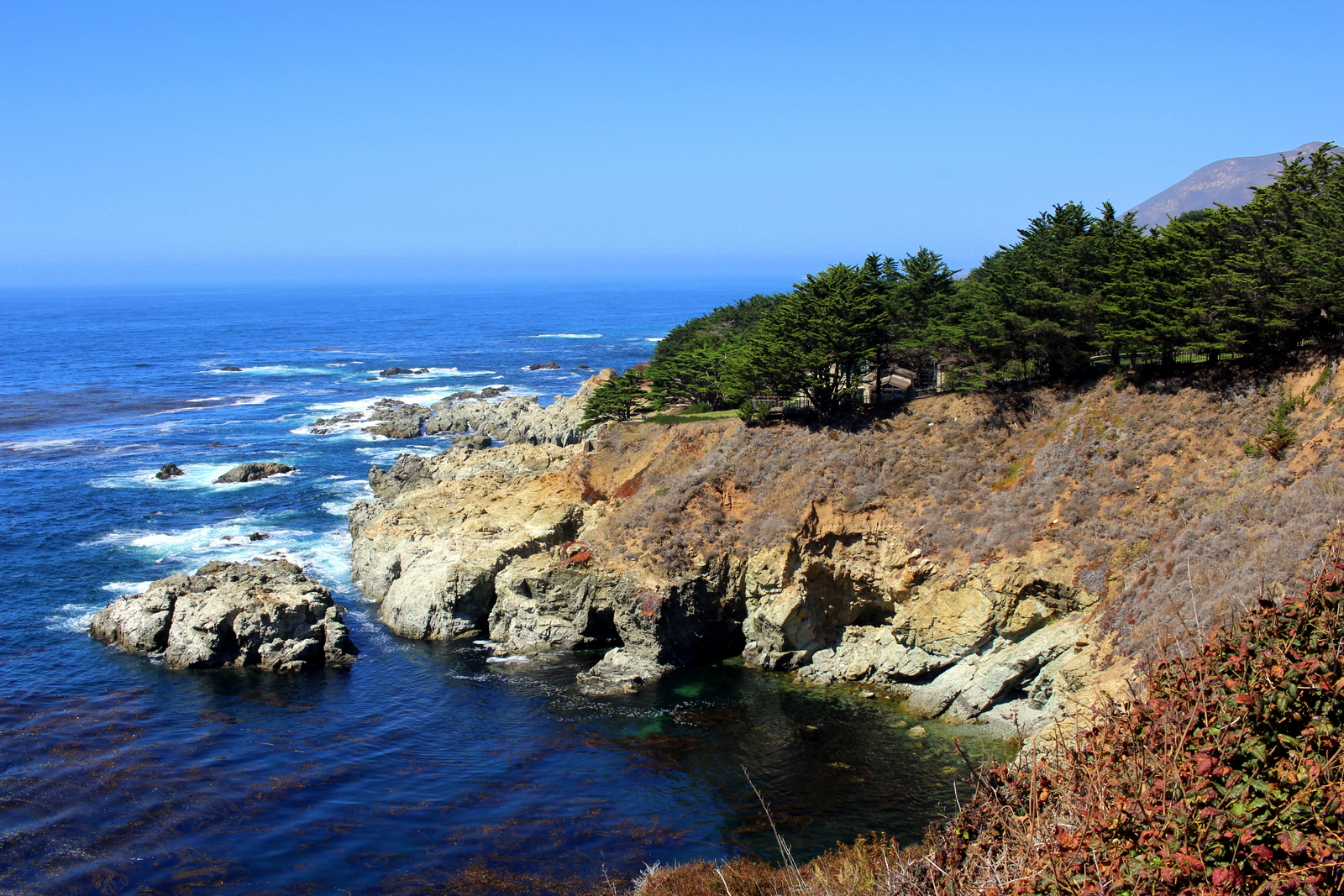
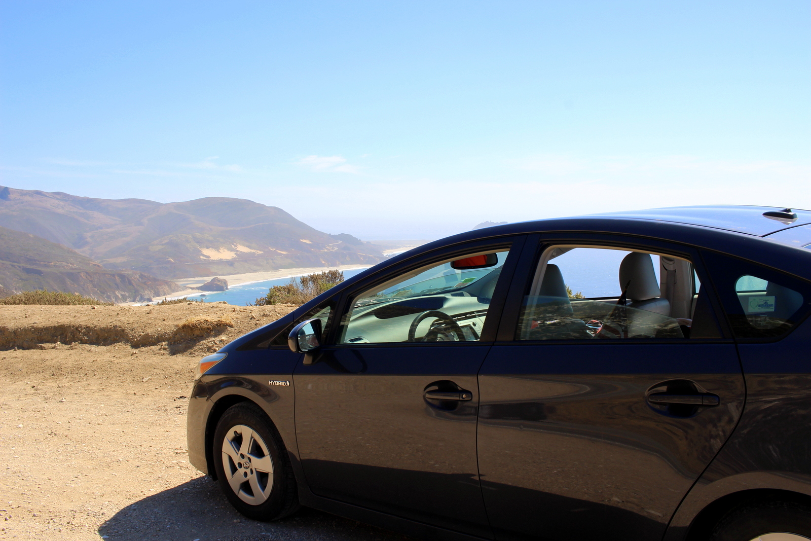
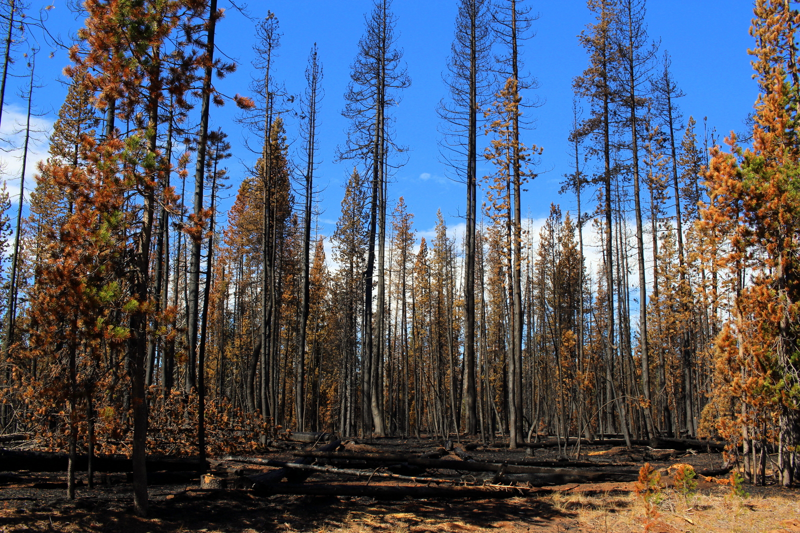
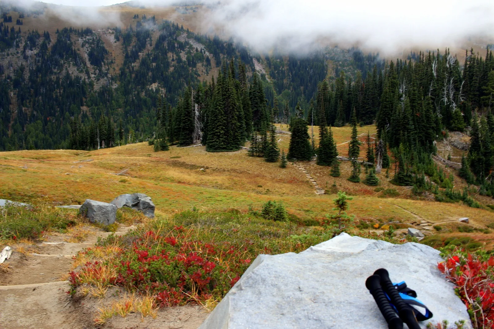
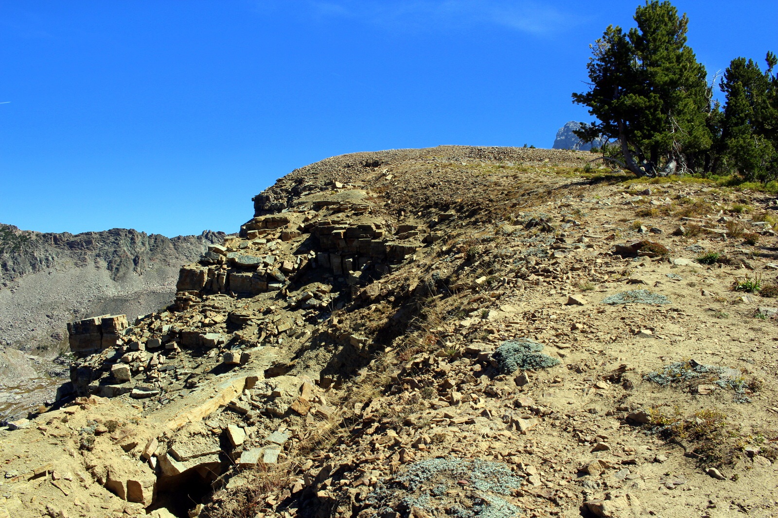
The drive then took me away from the open country into Kaibab National Forest. I'd not expected the approach to the Grand Canyon to be so beautiful. This was a bonus. Some of the trees were already turning colors, which made for an even more pleasant drive into the canyon.
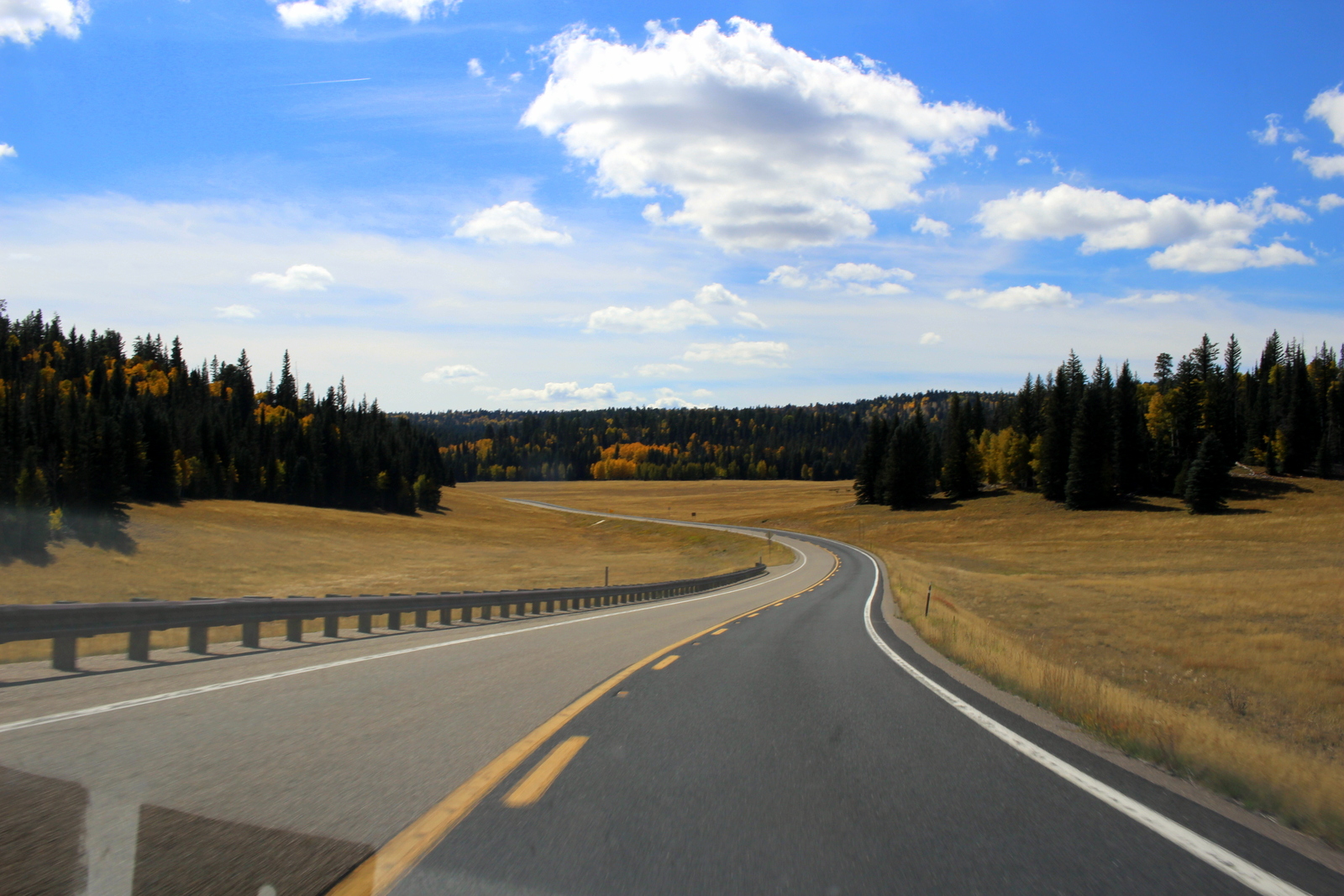
I was also surprised by the altitude. At times, I was over 9,000 feet above sea level--almost double the elevation of Denver, the so-called Mile-High City. It made sense, though. For a grand canyon to exist, the rim of the canyon needed to be way above sea level.
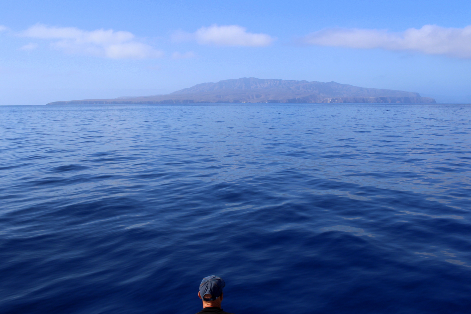
After about 3 hours, I'd finally arrived at the North Rim! I was looking forward to finally seeing the canyon in all its glory.

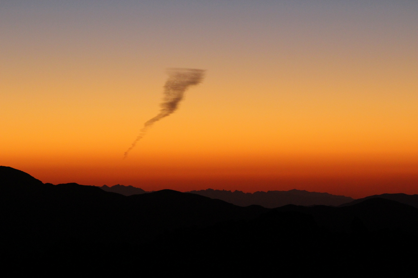
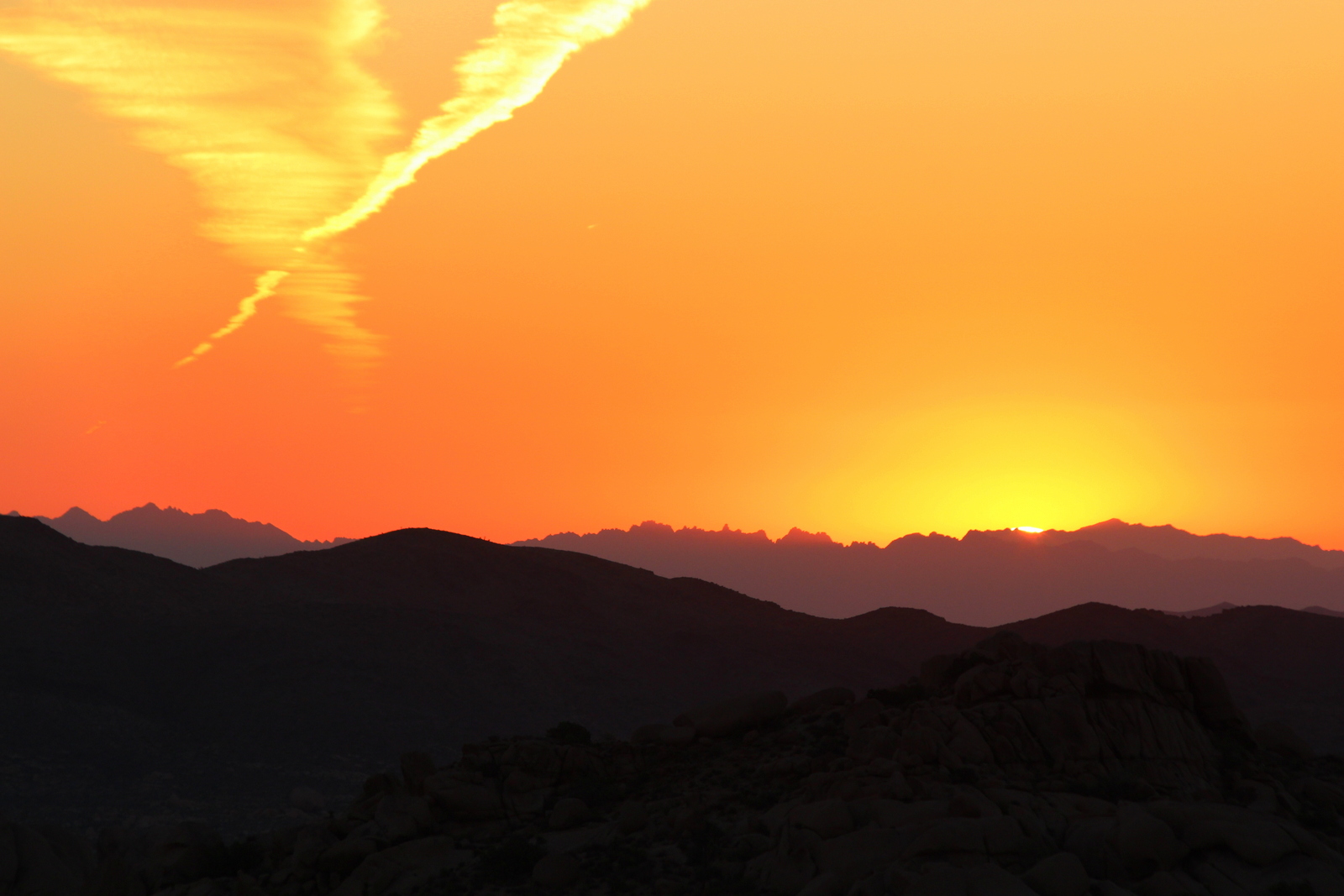
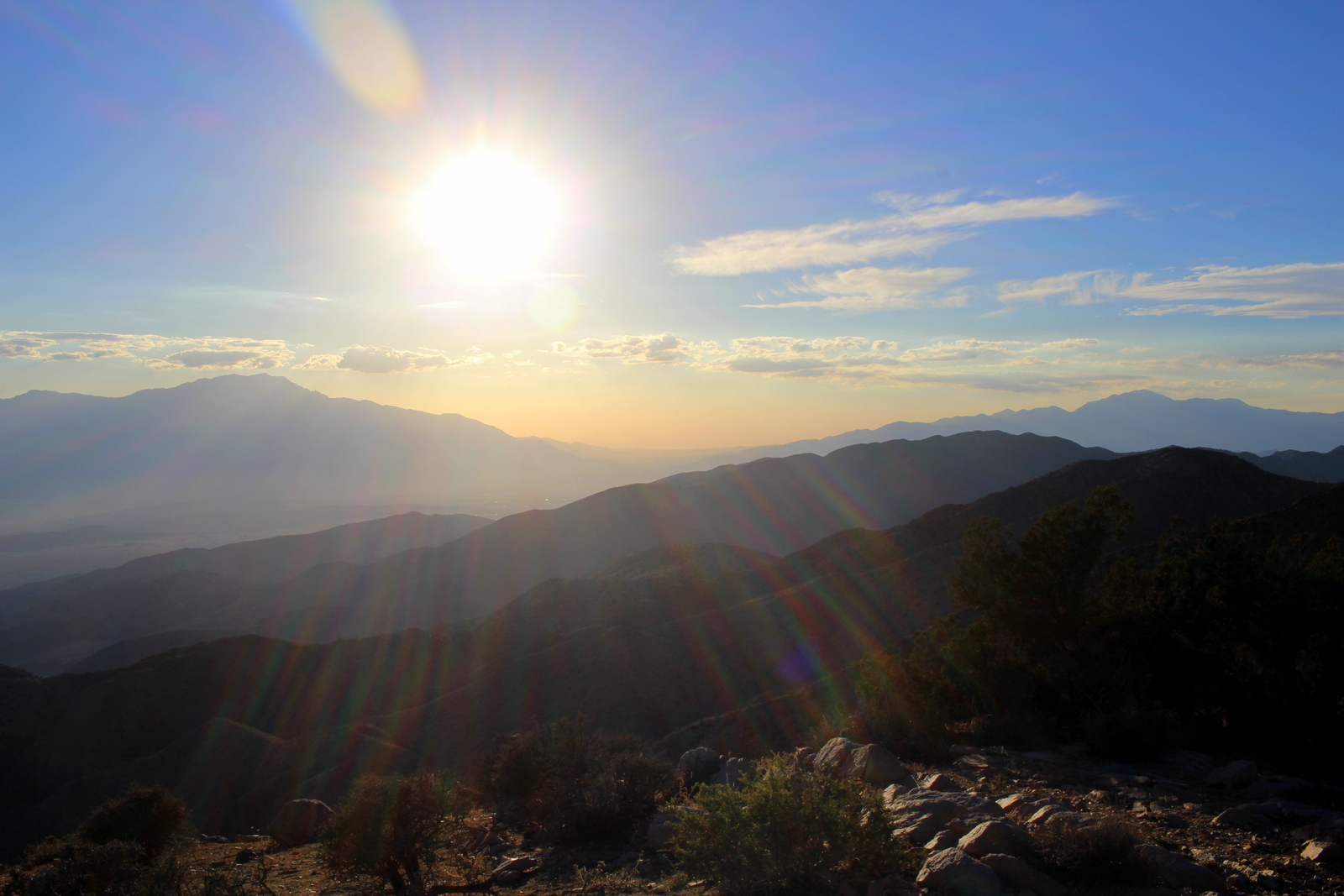
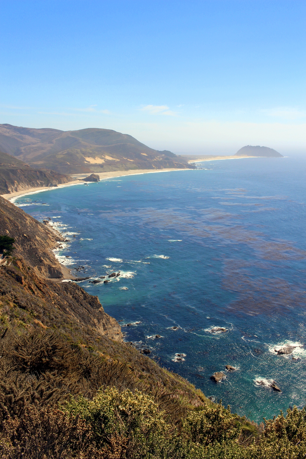
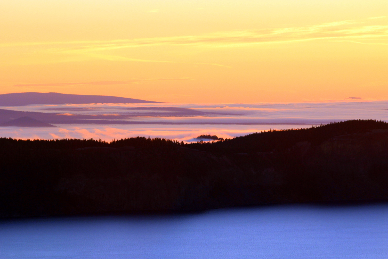
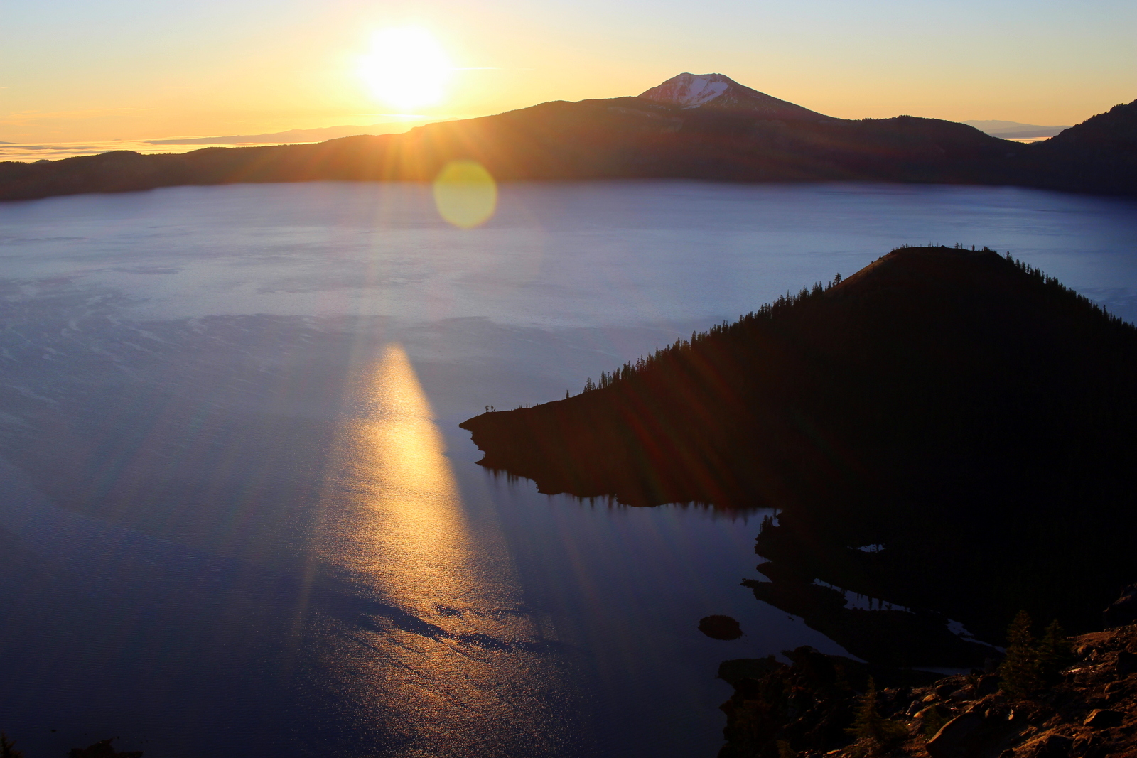
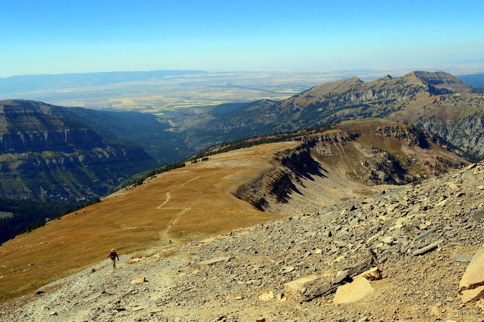
After briefly stopping by the visitor center, I made my way to Bright Angel Point and took in my first views. Unfortunately, it was somewhat hazy, which made it hard to see anything but the side canyons clearly.

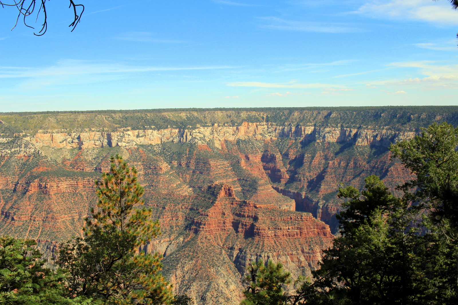
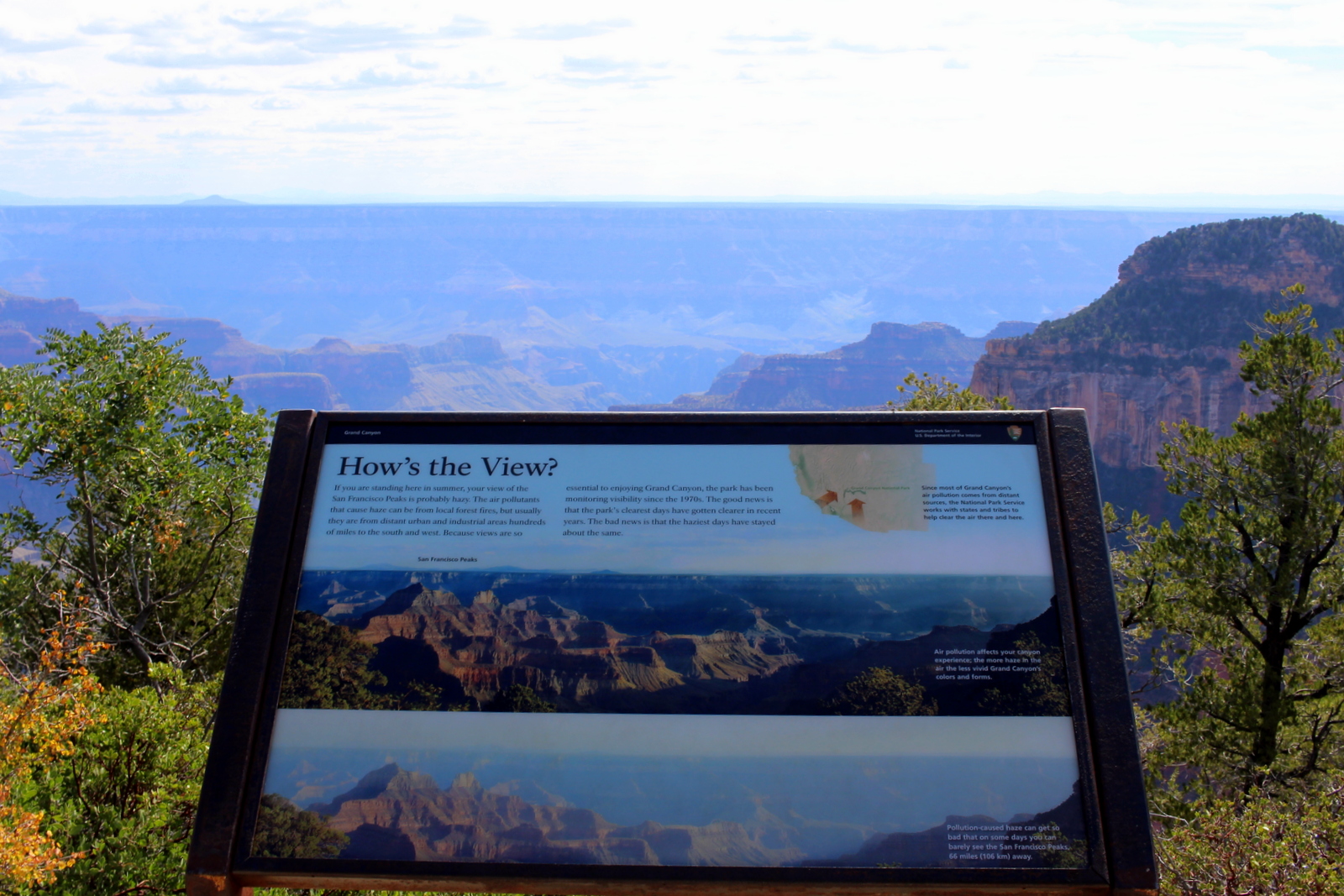
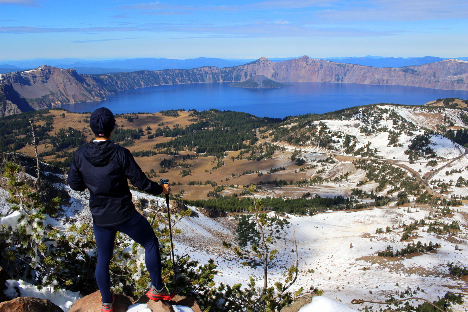
Still, I was taken aback by the scale of the canyon. It was simply massive, and majestic, in a way unlike anything I'd seen before. Using borrowed binoculars, I spotted the South Rim--what would be the end of my run tomorrow. I couldn't believe how tiny of a speck the entire South Rim complex was. I also couldn't believe that, beginning in just over 12 hours, I'd be running from here, down through everything below, and back up to that speck!

Feeling a little overwhelmed, I stopped by the backcountry office to learn about any special conditions. I learned that it would be moderately hot, but not insanely so. The expected high at the bottom of the canyon was 104. More importantly, I learned that the water pipe had burst on a section of the North Rim. There was a chance that several water spigots would be off tomorrow. The ranger checked with me to make sure I was carrying filtration. I told him yes--I would've carried it in any case.
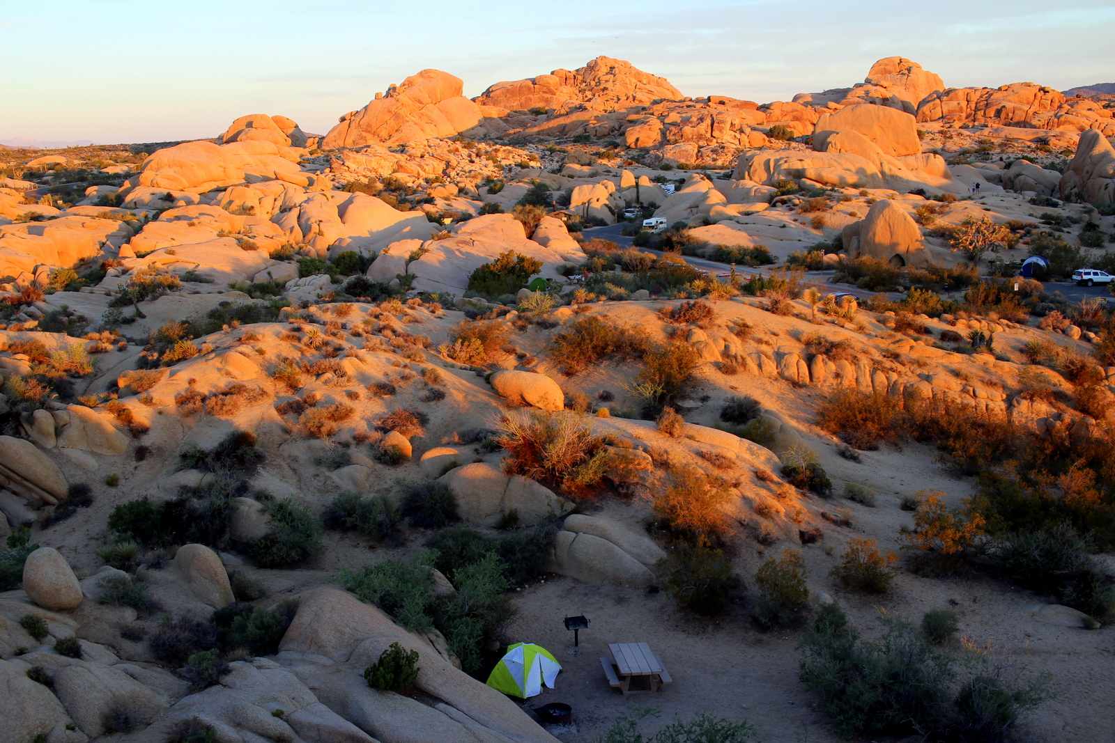
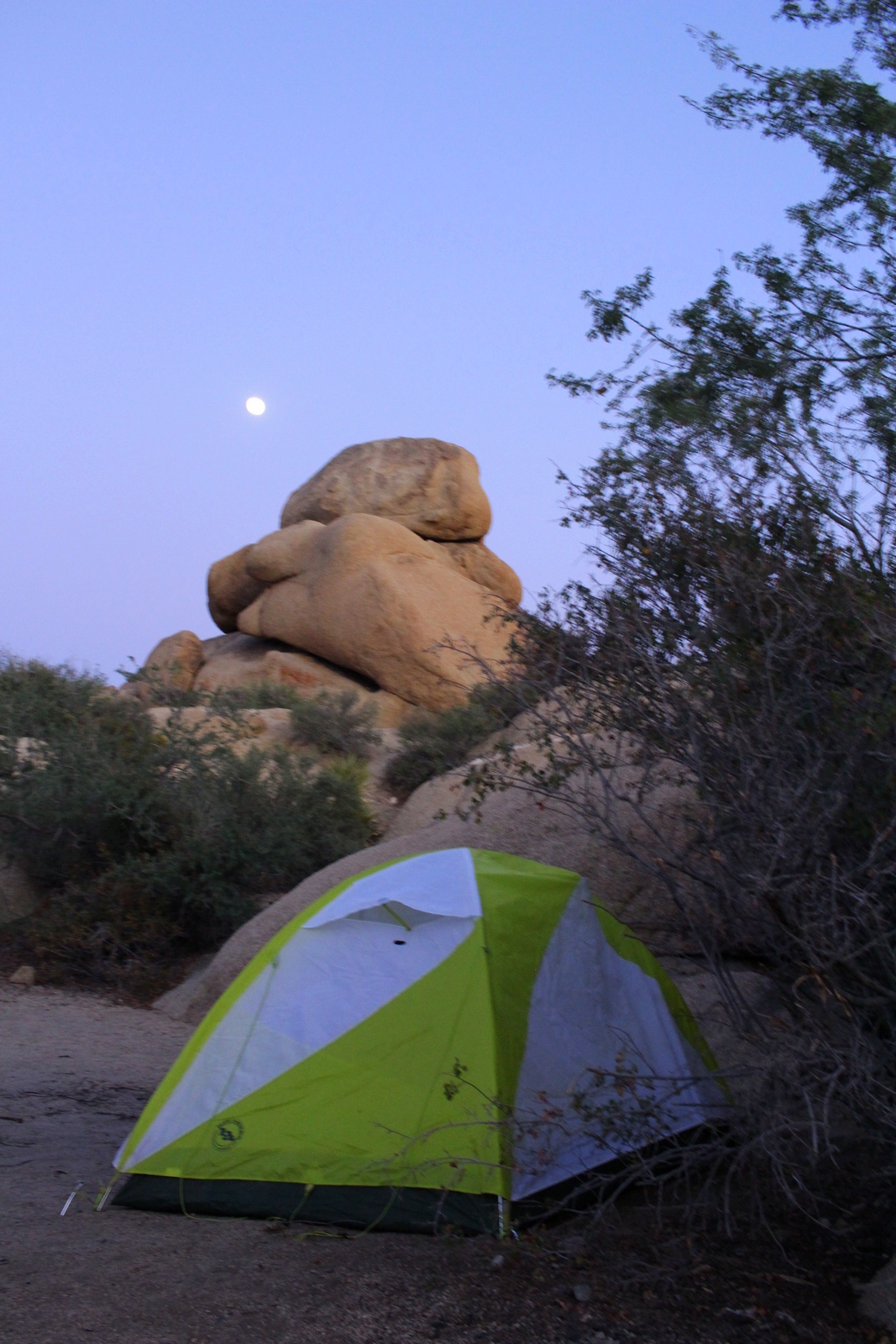
Then, it was time to check in at the North Rim campground. I felt incredibly lucky to have secured a spot here. This campground is generally considered one of the most spectacular because it is basically perched on the edge of the canyon. Normally, sites are booked months (and sometimes years) in advance. As an example, my camp neighbor said she'd booked hers over half a year before. I'd booked mine just 2 weeks ago. When I logged onto the site, there was one available campsite. Clearly, someone had cancelled recently, and I'd gotten ridiculously lucky.

My actual campsite wasn't to die for. It was just like any other standard forested campsite. But, as already noted, what makes this campground special is that you're a stone's throw away from the rim of the canyon. I was going to take advantage of that, but first I needed to do some other prep.
I spent a good hour going over all of the numbers and logistics for the run. I stacked all of the maps and brochures I had and synthesized all the relevant information onto an index card. This 3x5 card, which I put in a special waterproof ziploc bag, would be my guide tomorrow. I read several run reports and narratives, so that I had a clearer sense of the challenges ahead as experienced by real hikers and runners.
I then meticulously packed my gear. Unlike my typical run, I literally emptied my hydration pack of everything and put things back in one by one. I wanted to make sure I had everything I needed, and, just as importantly, that I was carrying nothing I didn't need. I measured out my food needs, and also filled a medicine bottle with 15-20 electrolyte tablets. Heat would be my biggest enemy, and with intense heat comes intense dehydration and possibly hyponatremia (essentially, when your electrolyte levels are extremely low).
Certain that I'd prepped my gear, I turned to my next task: writing postcards. I spent over an hour writing a massive batch. I was planning to carry this batch down to Phantom Ranch--an oasis nestled by the Colorado River at the bottom of the canyon--and drop them off there. Why all this effort? Any mail sent from Phantom Ranch gets packed out by mule, and mail is stamped to indicate that. Apparently, this is the only post office that still uses mules. I figured people would enjoy receiving postcards carried by mule (apologies in advance for the sloppy handwriting--I had too many to write, and not enough time). I even sent one to myself, at my future address.
By now it was 5. I put my postcards and pens away and cooked dinner. I wanted to eat extra early today because I was planning to wake up at 3:30 a.m and begin the run at 4:30. Eating earlier ensured that I would give my digestive system enough time to do its magic and rid my body of any excess waste by 4 a.m. (if you catch my drift...). I cooked a simple meal. Penne with marinara sauce and two cans of tuna.
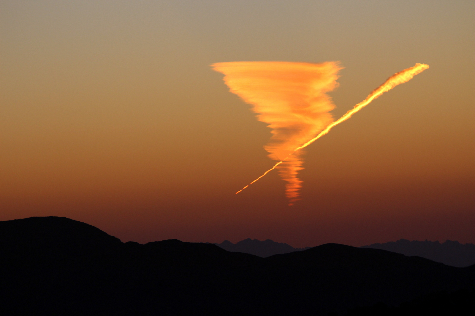
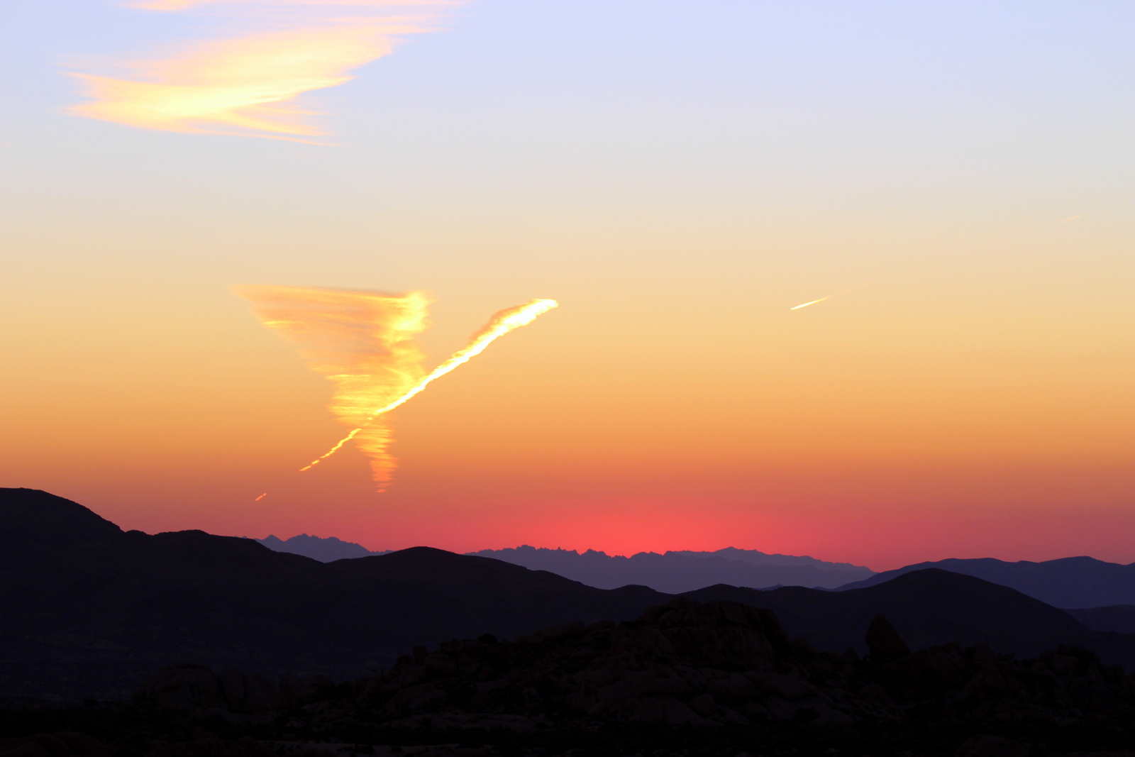
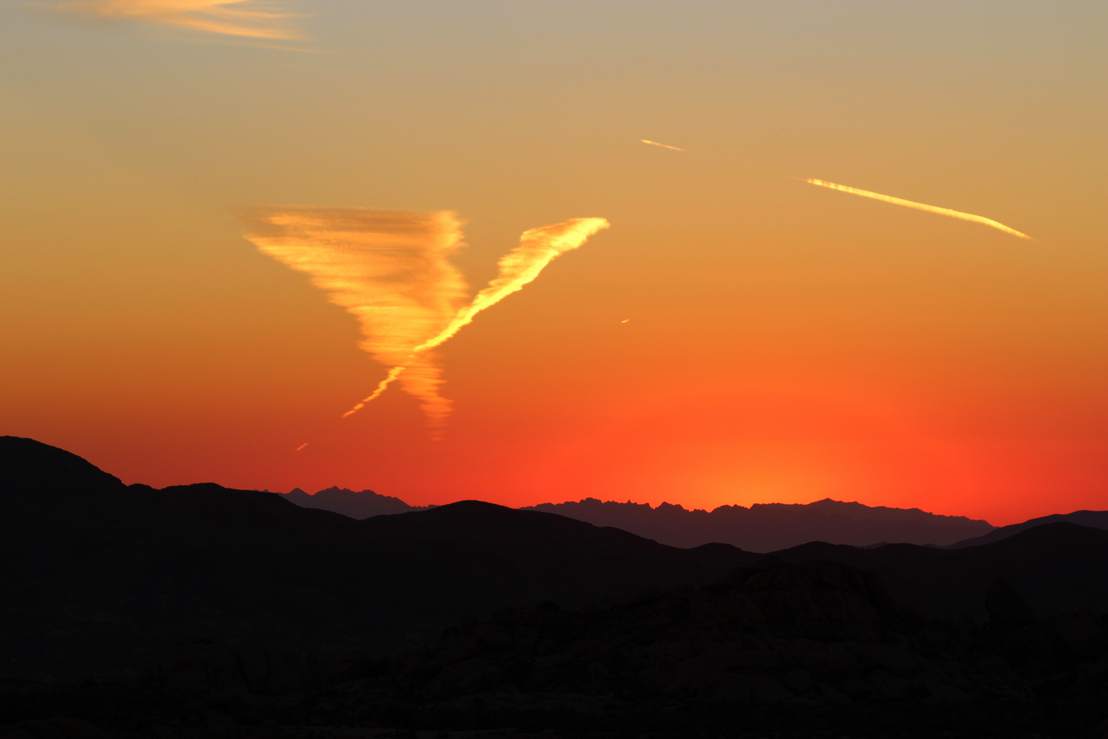
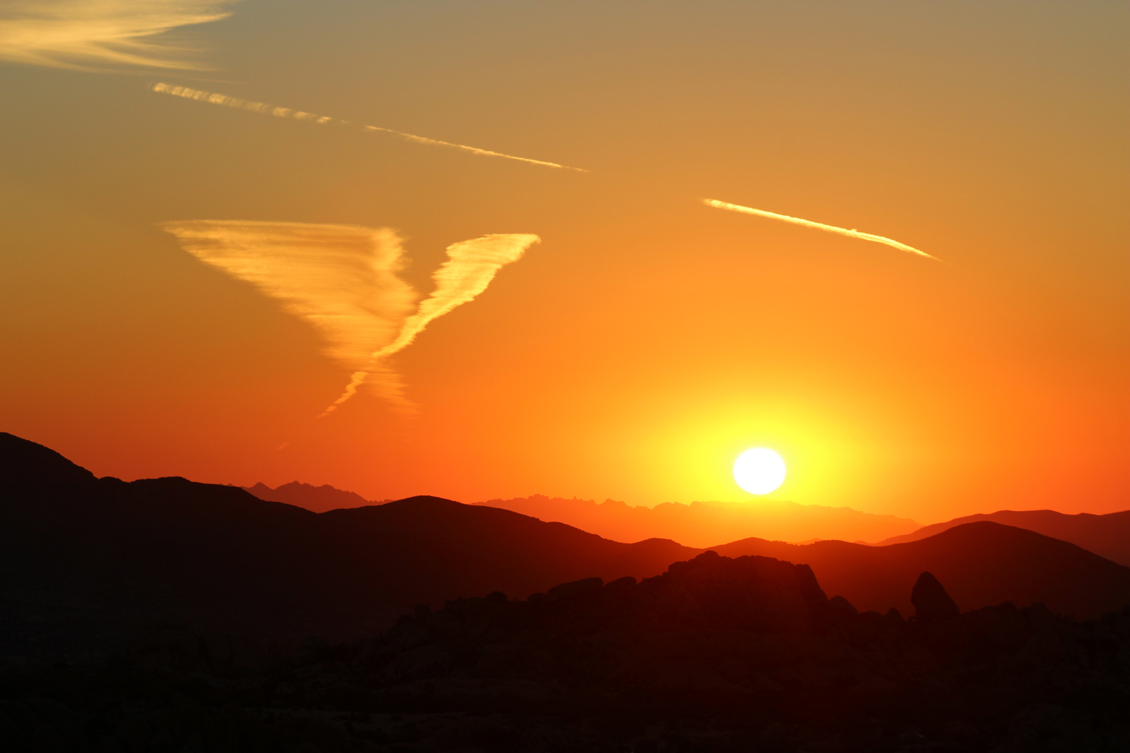
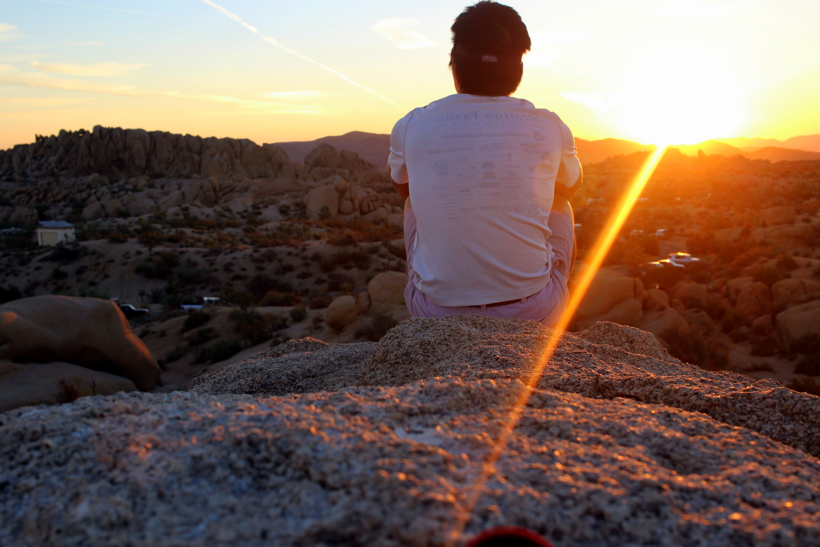
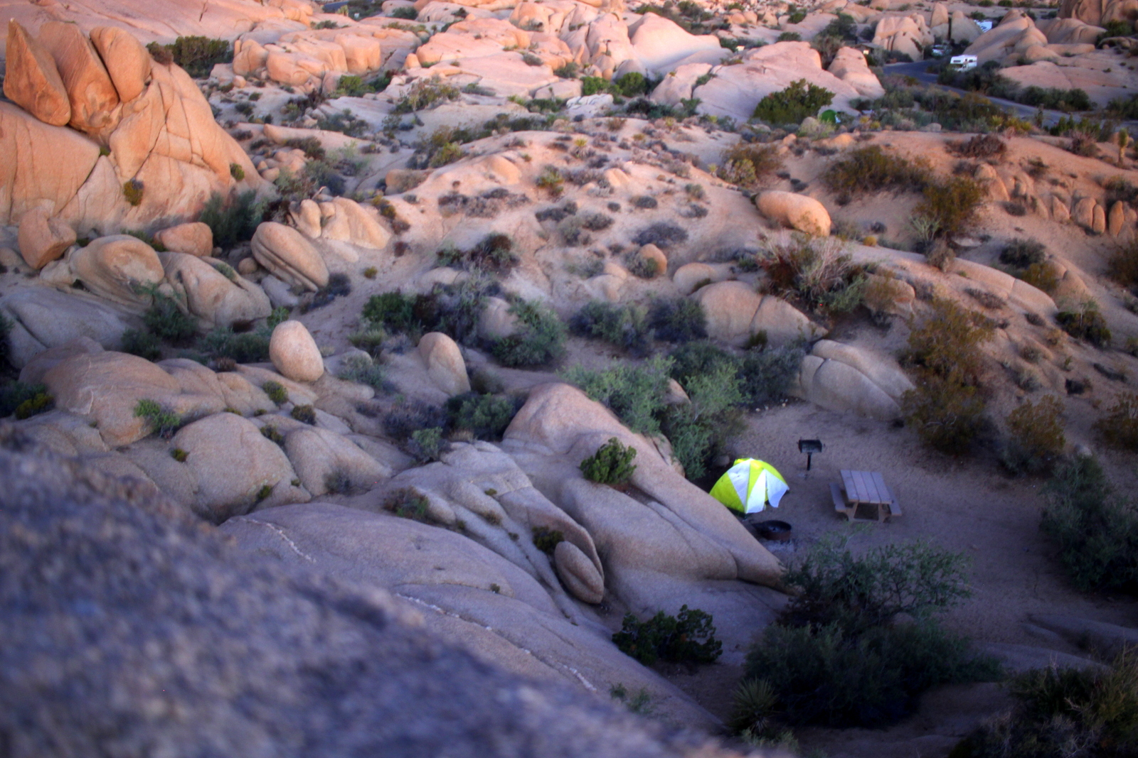
The hard work done, I took my pot of pasta and proceeded to the rim. Sunset was just after 6, so people were already perched on ledges. I found a secluded rock from which I could eat and take everything in. This was truly a dinner with a view.

After cleaning up, I spent some time visualizing the day ahead. I imagined the landscape of each segment of the run. I tried to feel the heat at the bottom of the canyon. I also grappled with the idea of descending steep, rocky switchbacks in pitch black. As I cycled through the day, I grew nervous. It was really about to happen!
By now, it was 7:30. My goal was to be in bed at 9. I toyed with the idea of attending the evening ranger talk. Tonight's topic was "Dying to See Grand Canyon: The Avoidable End to the Accidental Traveler". The talk would cover the many ways that people have died here. It was a grim topic, but I was curious--and I also thought giving myself a good scare would ensure that I ran even more safely than I was already planning.

I decided to attend the talk. I'm glad I did. I learned a lot about the Grand Canyon, and about the deaths that occur here. The ranger began by talking statistics. The reality was that based on historical numbers, one's probability of dying here were very, very slim. The public perceives a far greater danger because the limited number of deaths that occur receive excess media attention (in 2013, there were 8 fatalities out of 4.5 million visitors). The reality is that the canyon is generally very safe.
The ranger then went on to describe the 4 major ways that people die here: falls, the environment, the river, and plane crashes. She prefaced this part of her presentation with the words of one of her fellow rangers: "There are no new accidents--only new people having the same old accidents." Essentially, people die for very obvious reasons; there are no surprises. She cycled through dozens of anecdotes. It was everything you'd imagine: people who'd tried to pull a prank and fallen off the cliff; people who'd been so focused on taking their photos that they'd tripped over the edge; people who stepped off the trail for a better view and tumbled into the canyon; people not bringing enough water; people overestimating their physical capabilities; people choosing not to wear life jackets (over 80% of river deaths are caused by this); people being male (AKA 80% of all deaths!); people being the unlucky pioneer air travelers who flew in the pre-FAA days (fun fact: the FAA was created in response to the 1956 Grand Canyon airplane collision).
But the most compelling--and relatable--story I heard was about the tragic death of Margaret Bradley, an accomplished all-American marathon runner and medical student who had died while running in the Grand Canyon in July 2004. In essence, she (and her friend, who miraculously made it out alive) had greatly underestimated and underprepared for the canyon. Among other things, the pair: thought they were running 15 miles when, in fact, they were running 27; carried no map, headlamp, or compass; brought almost no food and water; and started late in the morning (AKA 9 a.m.). By 3 p.m., they'd traveled only 12 miles and had succumbed to the heat. Bradley's friend decided the best course was to wait under a bush until the temps dropped. Bradley, believing she was only a few miles from the end, decided to push ahead to search for help. No one knows exactly what happened next, but at some point she went off-trail, presumably in search of water. She was later found dead in a box canyon, trapped between canyon walls on one side and the cliff's edge on the other.
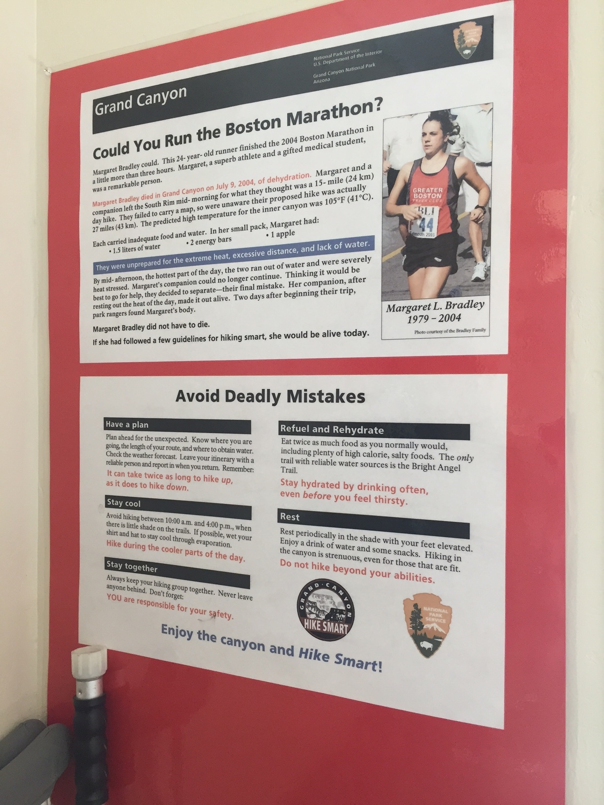
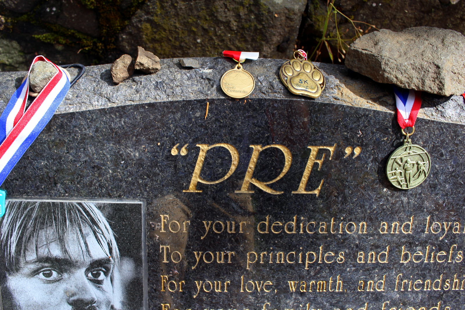
Posters like this were all over the canyon.
It was easy for me to judge Bradley and her friend. But I also knew that I fit the exact profile of someone who might make the same mistake. I recalled the quote the ranger had repeated: "There are no new accidents--only new people having the same old accidents." I certainly didn't think that death (or anything close to it) was on the horizon. But isn't that exactly what Bradley and the other people who'd died in the Canyon also thought?
I obviously had a lot of food for thought as I returned to my campsite. I wasn't spooked, but I was just a little more aware of the dangers of the canyon. It was just past 9 now. I brushed my teeth and promptly jumped into my sleeping bag. I set my alarm for 3:30 a.m. and closed my eyes. As I drifted off into sleep, I tried to induce a dreams about how tomorrow would not only be the best day of running that I'd ever had, but also the safest.