cities

Day 27: Los Angeles, CA by Wookie Kim

The weather in southern California has been incredibly hot recently. I was planning to attempt the Rim-to-Rim Run in the Grand Canyon on Tuesday, so I decided I'd take today as easy as possible, and maybe even forego running altogether.

In the morning, Molly took me to a delicious breakfast spot, where I nommed on a huge breakfast sandwich and we sipped our refreshing Vietnamese iced coffees. I couldn't keep her all day, so she went her way and I went mine.

And my way today would be the Hollywood sign. I mean, why not, right? I'd looked up the various routes up to the sign and determined that I wanted to do the shortest distance, even if that meant the steepest climb. Given that the temps were hovering in the mid-90s, I simply wanted to reduce the time I spent outside baking in the sun. I opted for the trail to the Wisdom Tree and Cahuenga Peak.

I drove up into a posh hillside neighborhood in search of the trailhead. I got lost and had to ask a group of babysitters where I was supposed to go. They redirected me. Interestingly, this route has been known to disappoint. The trail goes up and above the Hollywood sign, but it only lets you see it from behind. There was ample warning of this at the trailhead (and ample graffiti).

As I was getting ready to start, I noticed another runner getting ready to go, too. I decided to ask her for advice on the trail. I learned that Maria was recovering from a hip injury, and that the incline of this hike was good for that. At this point, it was scorching, and I hadn't properly rehydrated from the day before (beer generally doesn't help). I made the decision not to run today. I'd just hike. It was fun chatting with Maria, so we hiked together.

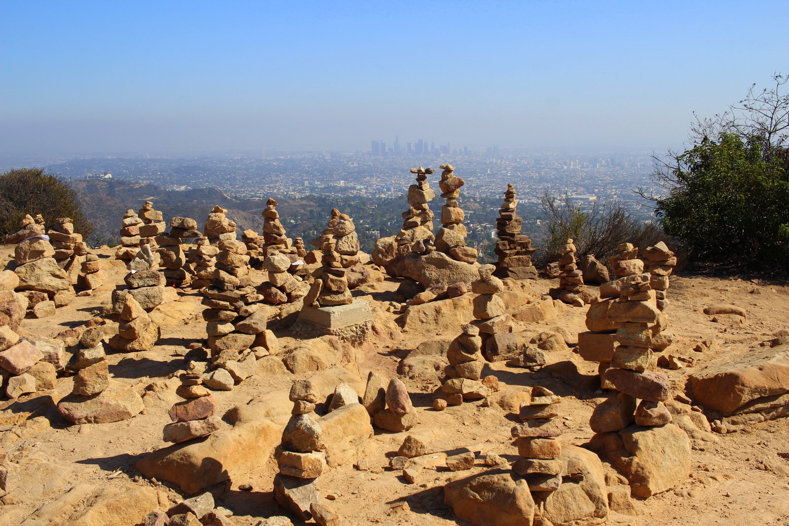
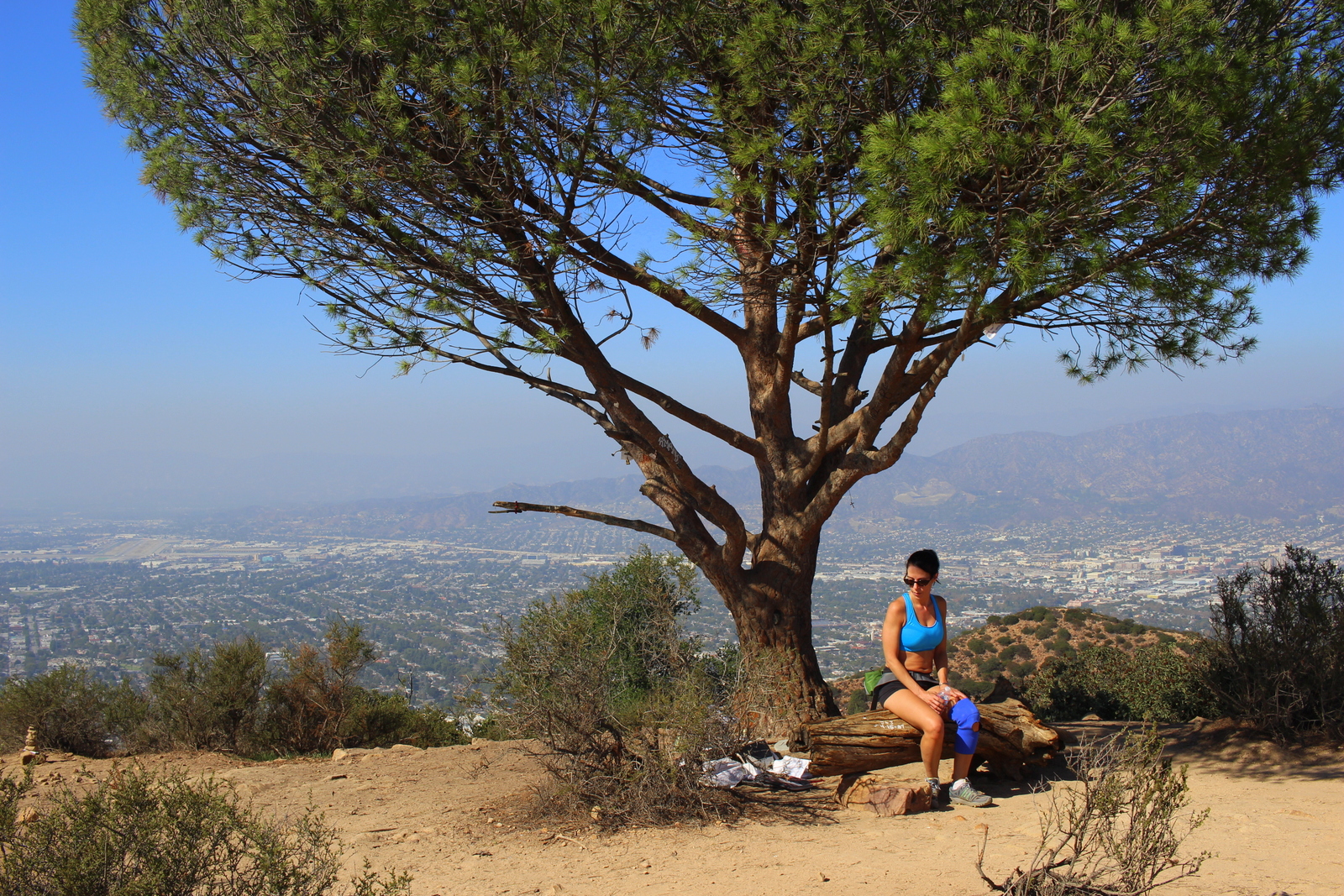
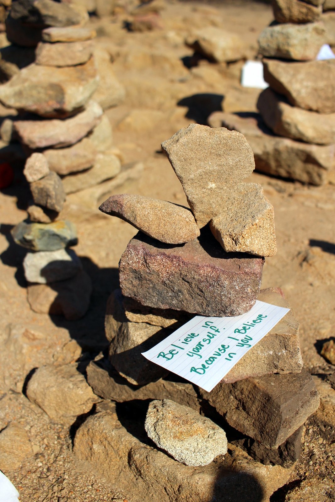
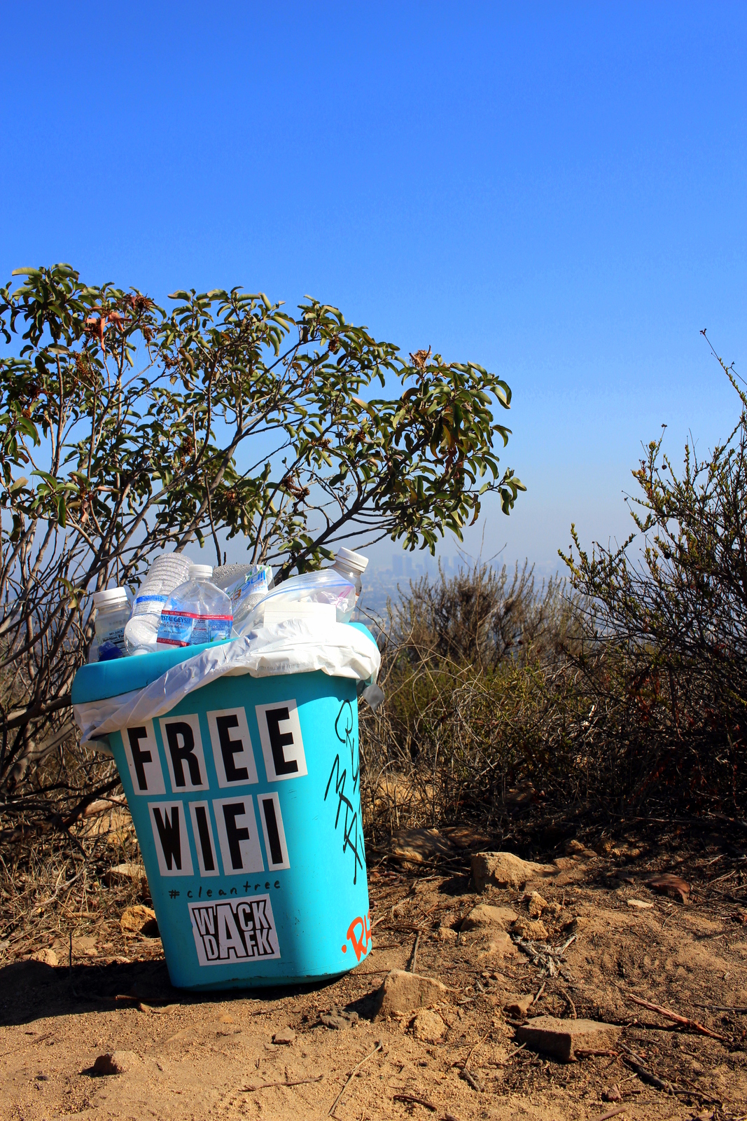
The hike was surprisingly rugged and steep. The first 3/4 of a mile had the majority of the ascent. I think it was somewhere close to 800 vertical feet in that span. A mile or so in, we made it to the Wisdom Tree, which has become somewhat of an icon in the region for being the only tree to survive a 2007 wildfire. Hikers leave all kinds of cairns and notes with wishes and hopes and dreams. There is also a geocaching box in which people write messages as well. And, of course, there's free wifi at the top.

After a brief water break, Maria and I continued. Maria hadn't made it to the Hollywood sign since her injury, and she was determined to make it today. I gave her my trekking poles, telling her that they were tremendously helpful in maintaining balance and redistributing weight as needed. Ahead was Cahuenga Peak and, slightly below the communications tower, the back-side of the Hollywood sign.

On the final half-mile along the ridgeline, Maria pointed out a few landmarks. To our left, there was a cemetery where a lot of celebrities were buried.

The hike had started out really hot. But up here, the wind kept us cool. We finally reached the top and got our first close-up of the sign--from behind.

The day was hazy, so you couldn't really see that far. But it was still great to see the scale of L.A.--this is a huge city!

Hikers can't really get any closer to the sign than this. There's a fence and excessive signage that makes this clear. There are security cameras all over the mountain, and even on the letters. Trespassing is an easy way to send a police helicopter your way. As much as I wanted to go see the sign up close, I wasn't about to tick anyone off.

We turned around and carefully descended back to the trailhead and our cars. I'd enjoyed having Maria for company, and I learned more about what she did in the area. Turns out she was an actress, comedian, and improv artist.

It was now late afternoon, and I had a couple hours to kill before meeting my next friend for dinner. I decided I'd drive around in the hills and see if I could catch a glimpse of the sign from the front. I drove slowly through Hollywoodland and finally caught it through some palm trees.

I continued and eventually found myself in Lake Hollywood Park. There were a ton of tourists here, and I looked behind and immediately knew why. There was a great unobstructed view of the sign.

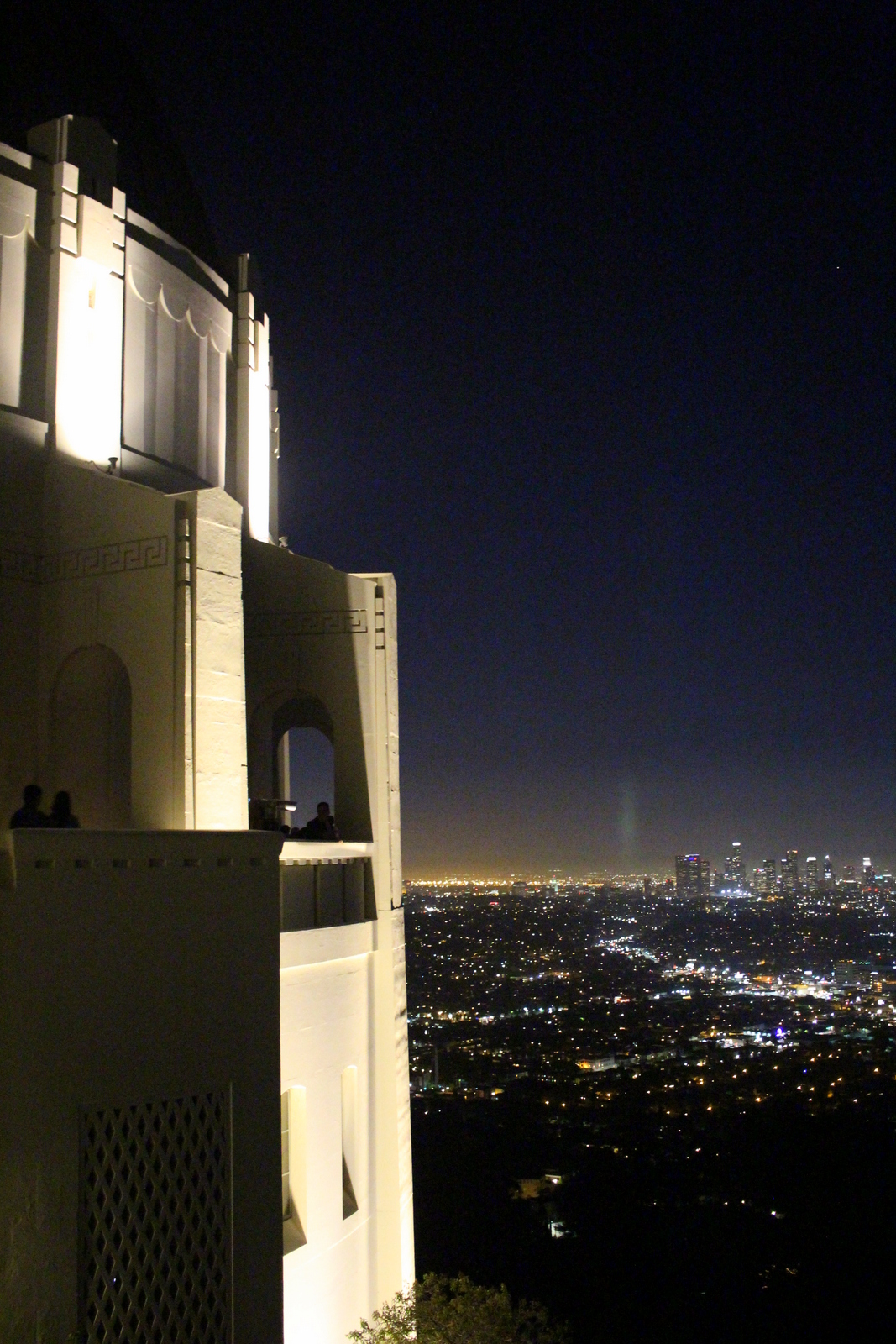
It was now almost 5 p.m., and I didn't want to take any chances with rush-hour traffic, so I headed towards Mohawk Bend, the evening's dinner spot. I met Caitlin H., a great friend from law school who was out here for the year clerking for a judge, and caught up with her. After dinner, we decided to head up towards Griffith Observatory, which is known for its panoramic views of the city.

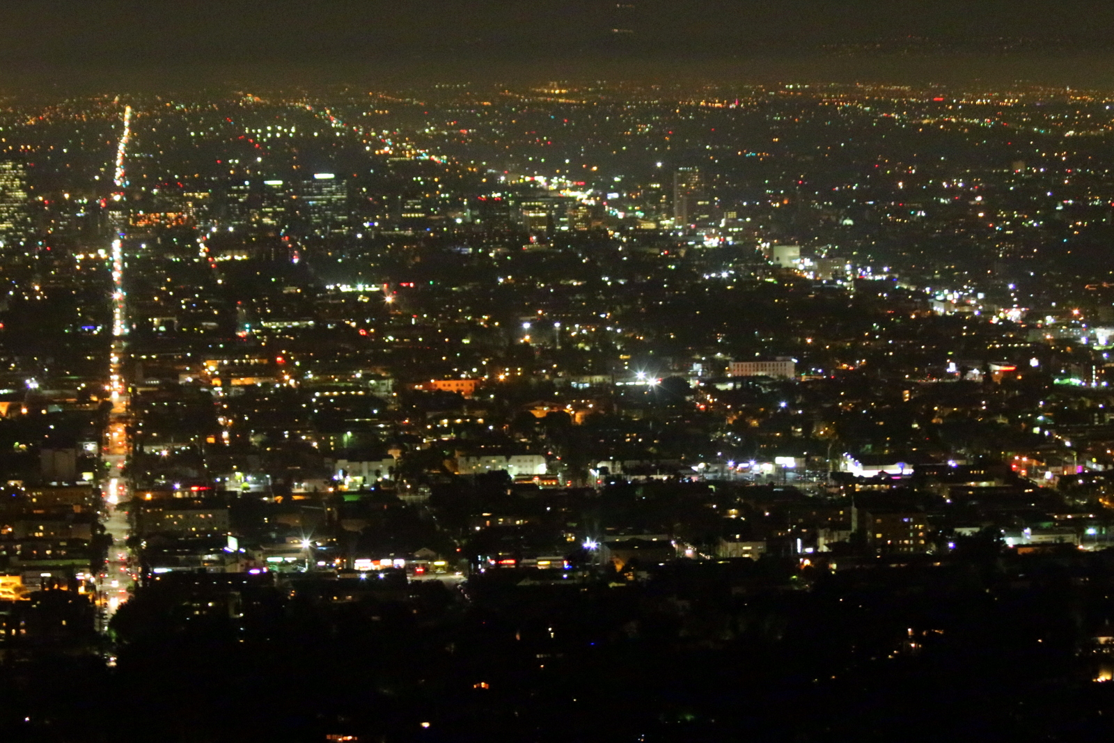
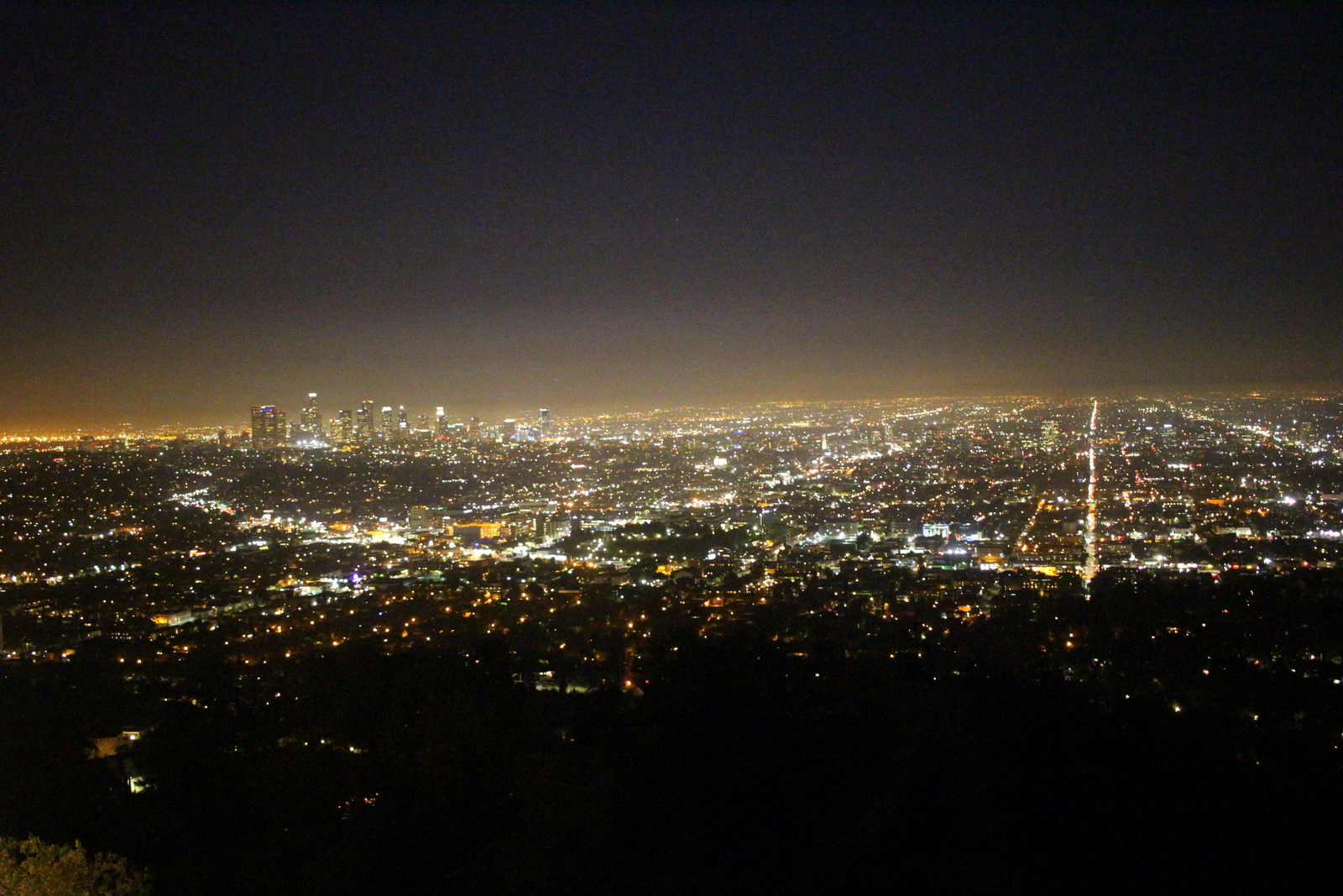
The views were great. I love seeing cityscapes at night. You really get a sense not only of a city's scale, but also its activity (measured by the intensity of light in various regions).

It was a clear night, and the moon was particularly easy to see. I managed to hold my camera steady (it helps to have a built-in image stabilizer) and capture a few clear shots.

We didn't realize that the observatory itself was much more like a museum. There were exhibits on the universe, space, the solar system, and everything else related to astronomy. By the way, it was 9:30 p.m. on a Wednesday night and it was absolutely packed.

The best views were on the viewing terrace. Everyone was taking photos there. Caitlin and I asked a tourist with less-than-steady hands to take a photo of us before we headed back to her place in Burbank.

My first full day in Los Angeles involved no running, but it was a refreshing break--one sorely needed especially as I head into what I believe will be my most epic 10-day block yet.

Day 19: Mount St. Helens National Volcanic Monument, WA + Portland, OR by Wookie Kim

I think Washington State doesn't like me much. Yesterday's weather was absolutely miserable, and I'd spent 5+ hours on the Wonderland Trail wondering where Mount Rainier was. This morning, I broke camp early and made my way out of the park, only to turn a bend and see this.

I imagined what yesterday would've been like had snow and fog been replaced by light clouds and sun. I turned a few more bends, and saw another picturesque view of the mountain. It was at this point that I also grew jealous of my friends who'd either climbed (Julie D.!) or were planning to climb (Victoria B.!) Mount Rainier. I was determined to get out of the state.

But not without seeing Mount St. Helens. After all, I was in the area, and it was on the way to Portland, my next destination. I was barely over 100 miles away from that famous volcanic mountain, but I knew that many of those miles were on windy, mountain roads. It took almost 3 hours to go that distance. After popping out of the forest and getting my first view of the valley, my heart sunk. This was what I saw.

I'd already spent 2 hours driving deep into the forest, so I decided to continue to the end of the scenic road, which was another 10 miles up the valley. I secretly hoped that I'd drive high enough so that I'd be above the fog and clouds. I reached Windy Ridge and saw this.

I was done. Done with trying to see mountains. And, more importantly, done with the state of Washington. I was now Portland bound! I retraced my route, and continued along the windy forest road to the main highway. The drive was so long and there were so many windy turns that my wrists started getting sore from all the pushing and pulling of the steering wheel. 

Just 50 miles outside of Portland, Washington state redeemed itself. I passed through what I later learned was an unincorporated town called Yale. I stopped by Yale Park, marveled at Yale Reservoir, and even took a look at Yale School. (Can you guess where I went to school?)

Finally on good terms with Washington, I crossed over into Oregon state and into Portland. My friend, David Y., had already made arrangements for my arrival. The first thing I did was laundry. It's been almost 3 weeks and I've had zero opportunities to wash my clothes. I then washed my cookware, most of which was starting to get grimy. After showering, I decided to roam the streets a bit before David got back from work. I did the stereotypical Portland tourist things; I visited the Ace Hotel, took down an espresso from Stumptown Coffee Roasters, and stopped by Powell's. (I'd been to all these places before, but why not go again?)

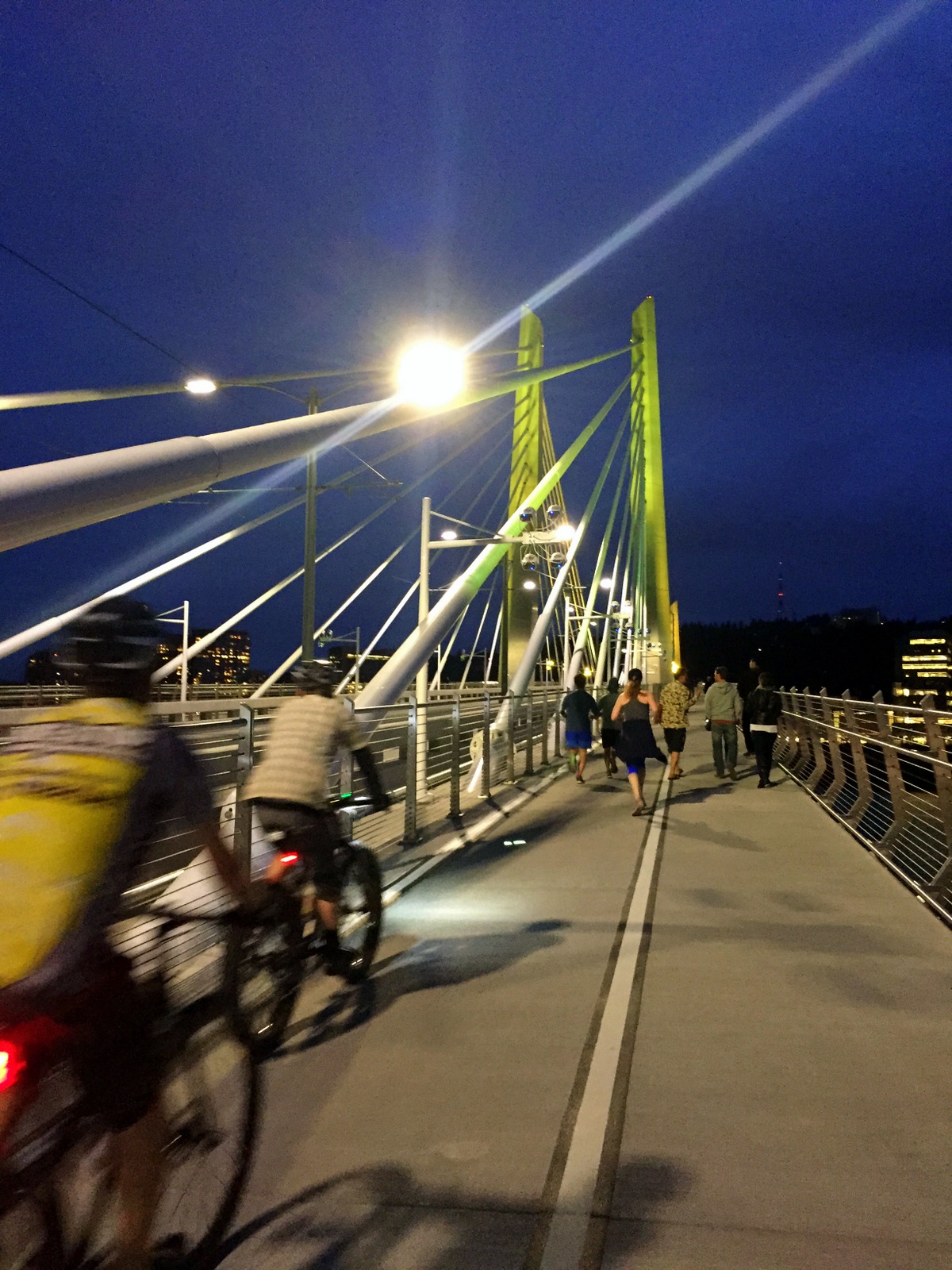
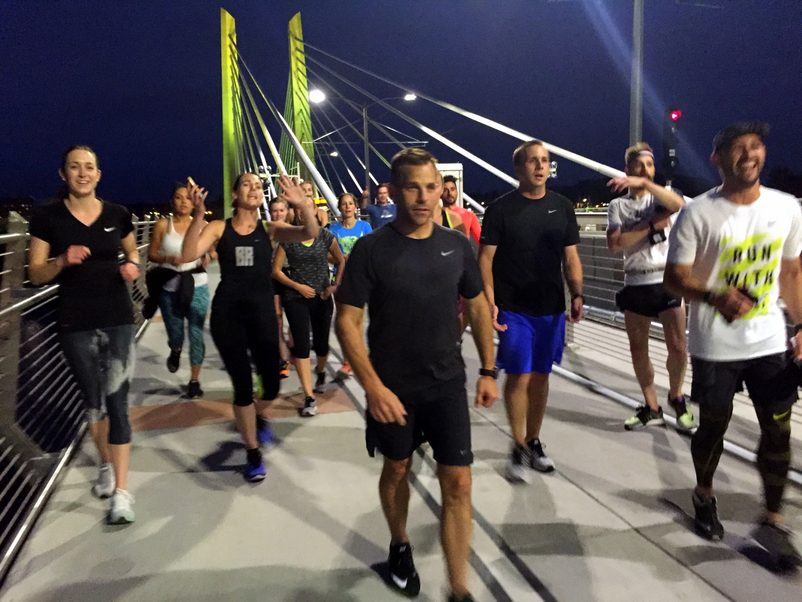
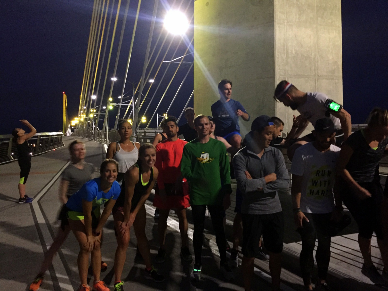
David arrived in the late afternoon. We caught up, got on a conference call regarding our high school, and then prepared for the run for the day: the Portland Stumprunners group run. The Stumprunners are the closest thing Portland has to November Project (query: why hasn't November Project established itself in this city?). A group of about 15 passionate, outdoorsy, runner types showed up at 7 p.m. outside the Peculiarium. Tonight's run destination was particularly cool; we ran to and across Tilikum Crossing, the new bridge across the Willamette River that allows everyone but drivers.

I had a blast. I think this was so for a number of reasons. First, I was running with a group again. I'd spent the last 2.5 weeks running alone. It was refreshing to run in a pack, and to chat with other like-minded runners. Second, I was running on flat road. My pace over the past few weeks has been incredibly slow. As just one example, I ran yesterday's 15 miles on the Wonderland at 19-minute pace. I couldn't even remember the last time I ran anything under 7:30 pace. It was nice to run unencumbered by dirt, rocks, and vertical. Third, as I've explained before, running is the best way to explore a new city. This was a workout, but it was a running tour, too. I got to see Portland in a new light (well, without light--it was after sunset).

We started at a relatively brisk pace, but casual enough so that we could chat. I hung with David and chatted with some of the runners. When we reached Tilikum Crossing, we stopped midway to take some group photos. From there, it was 4 miles back to the start. I decided I'd give my legs a spin, to rev the engine a little bit. The three of us in the front accelerated into a smooth but persistent pace. It was somewhat chilly, but I was now beginning to sweat. But it felt great. My legs were turning over quickly, and I could feel my stride lengthening as we picked up the pace. I was particularly surprised by our pace. We were cruising between 6:15 and 6:45 and I didn't even notice it. We'd done the last 3.5 miles at 6:35 pace--and it felt easy.

This little tempo piece at the end was reassuring. I'd spent part of the last few days wondering if all of this super-slow, super-long running would affect my ability to run fast. Lately, I'm lucky if I spend a couple miles under 9-minute pace. I know the rough terrain and the significantly higher time-on-feet account for some of that. But still. I wasn't sure I could run fast anymore. Tonight, I proved myself wrong. In fact, I think I'm getting into the best running shape I've been in for quite some time. I now plan to add a fall marathon to the calendar just to see what I can do on the road (on top of the Patapsco Valley 50K, which, seeing as it is "home turf", I want to crush).

After the run, a few of us met at Samurai Blue, a sushi joint on Mississippi Avenue. We nommed on sushi and beer, and chatted about Nike (practically everyone in Stumprunners appears to work at Nike). And after eating sushi, we ate ice cream, and continued chatting about Nike.

Then it was time to head home. I was staying at David's sweet new pad. I finished folding laundry, and we chatted about all of the things.

One of the other benefits of the group run was that I now know where I'll be running tomorrow. I'll begin by following David to the Nike campus for a quick tour. Then, I'll drive to Silver Falls State Park to do the Trail of Ten Falls. I'll make my way to Eugene to see the legendary Hayward Field (and maybe run a lap or two on it, if the cross country team will let me). And I'll end by setting up camp in either the Willamette or Deschutes National Forests.