On April 11, 2021, I gave it my all as a runner for the first time in a very long time. I ran until my body nearly fell apart—and then raced almost 10 more miles after that. It sounds absurd and masochistic to say this but, despite how much pain was involved, I could not have enjoyed the day more. I helped an elite runner qualify for the 50K world championships, felt deeply connected with the running community for the first time in a while, and managed to smash some PRs along the way. Giving it my all that day was worth it.
The race and why I signed up
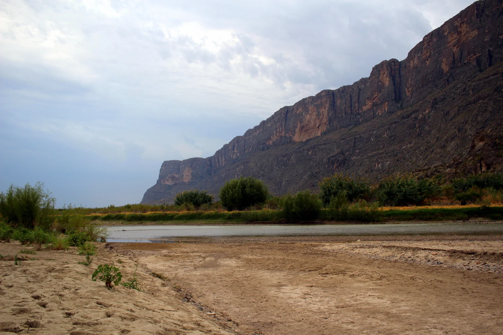
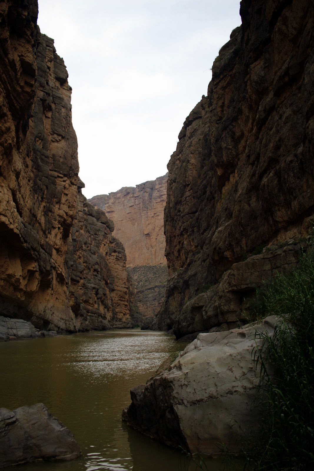
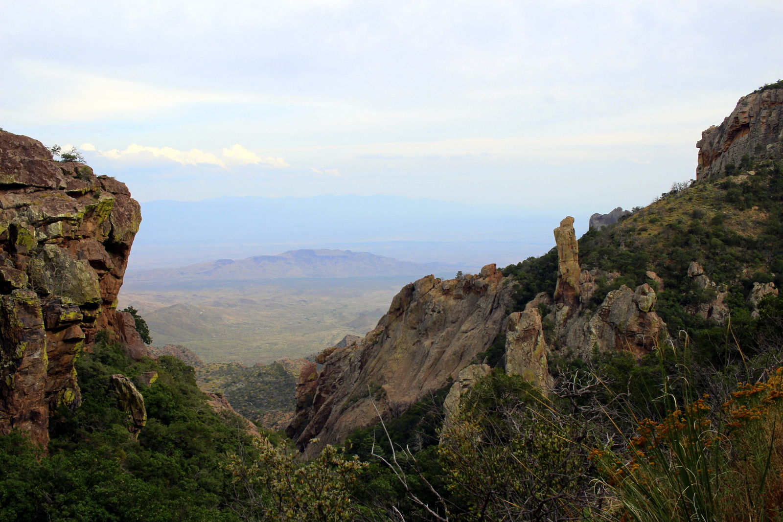
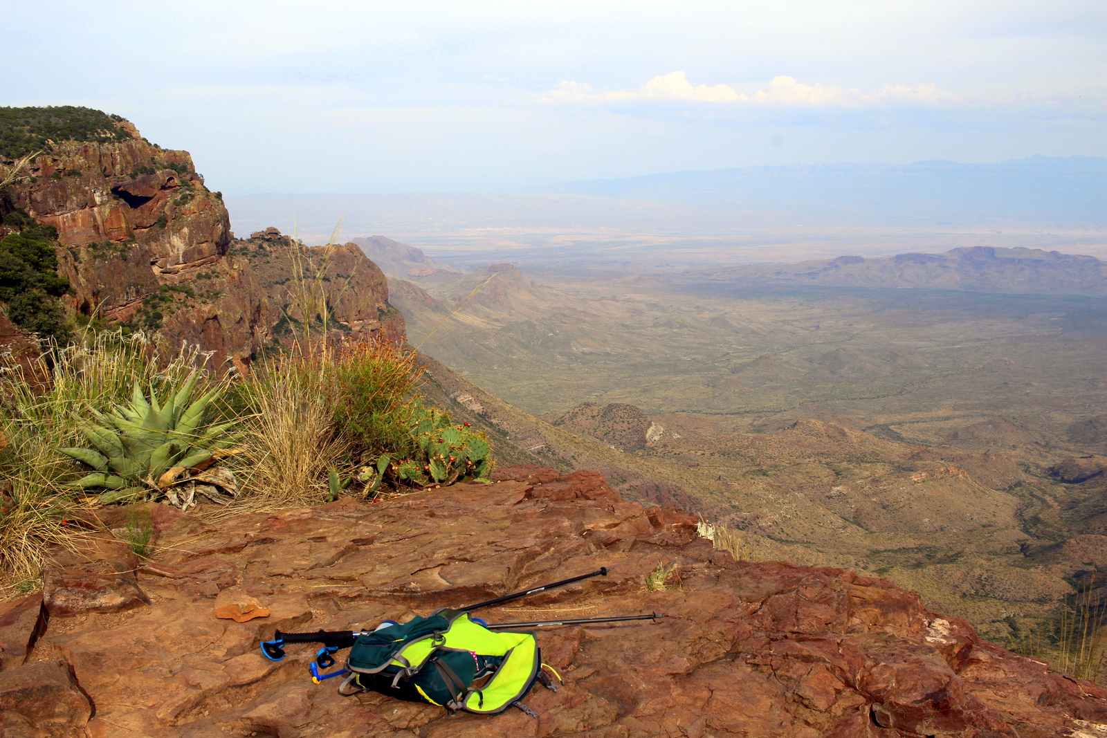
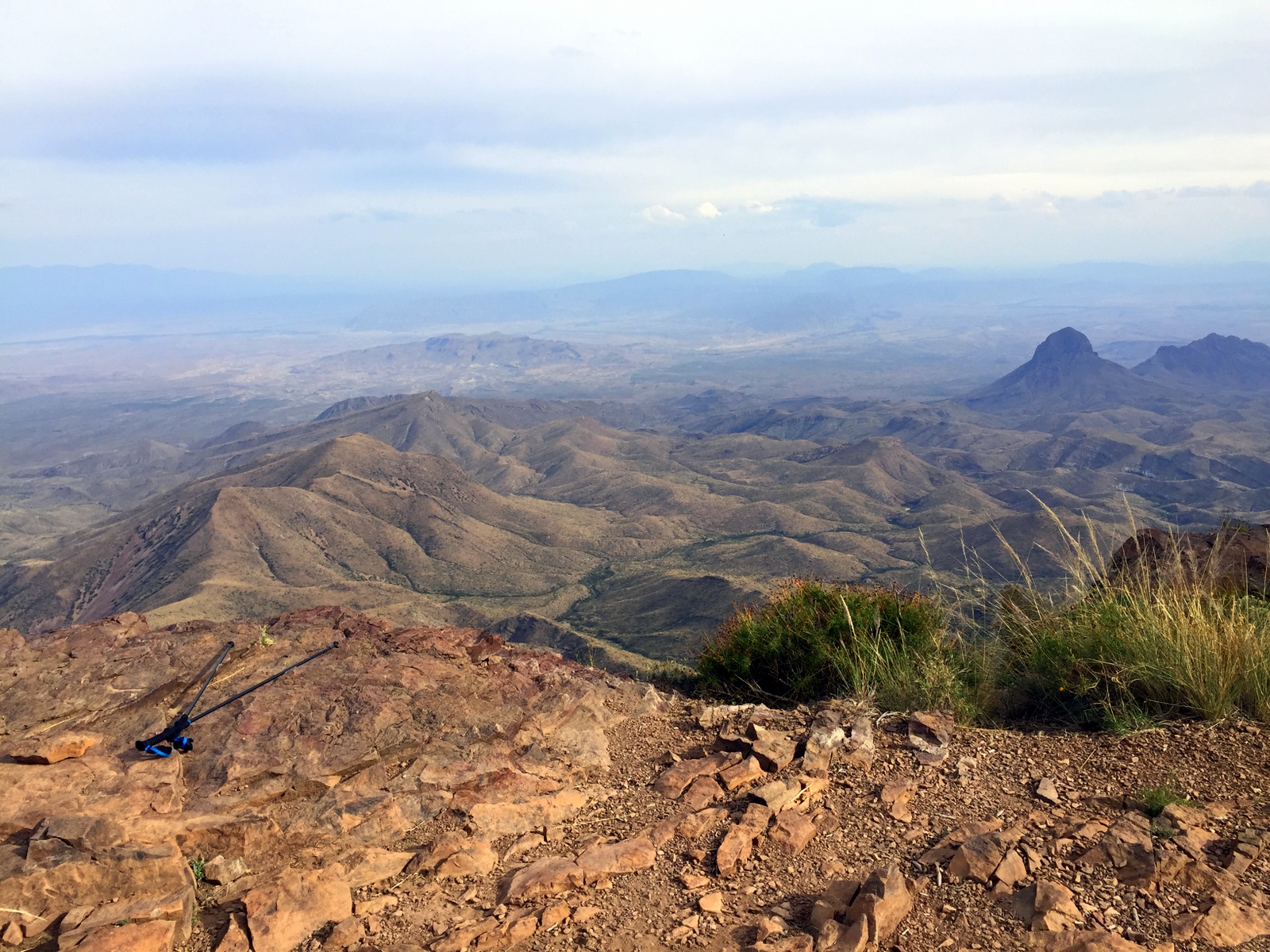
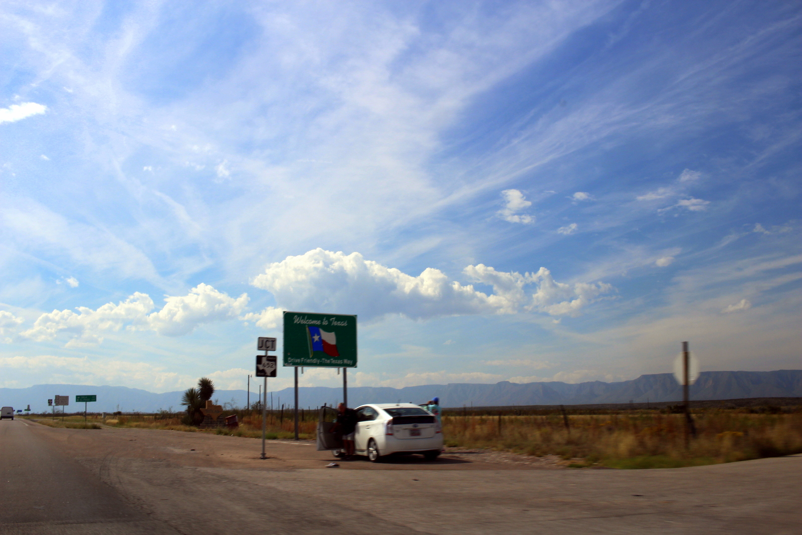
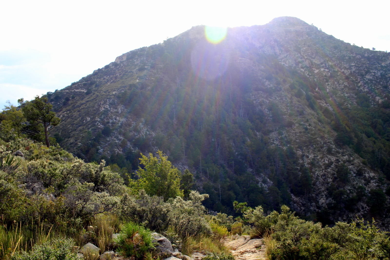
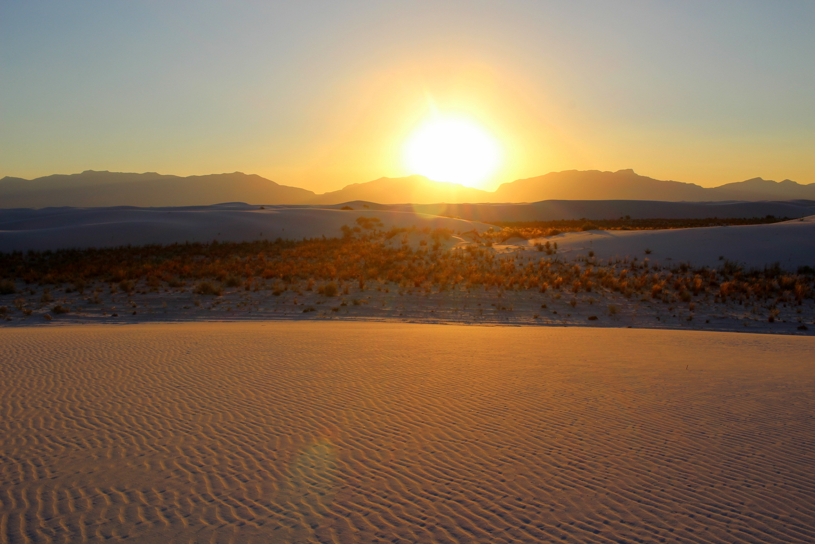
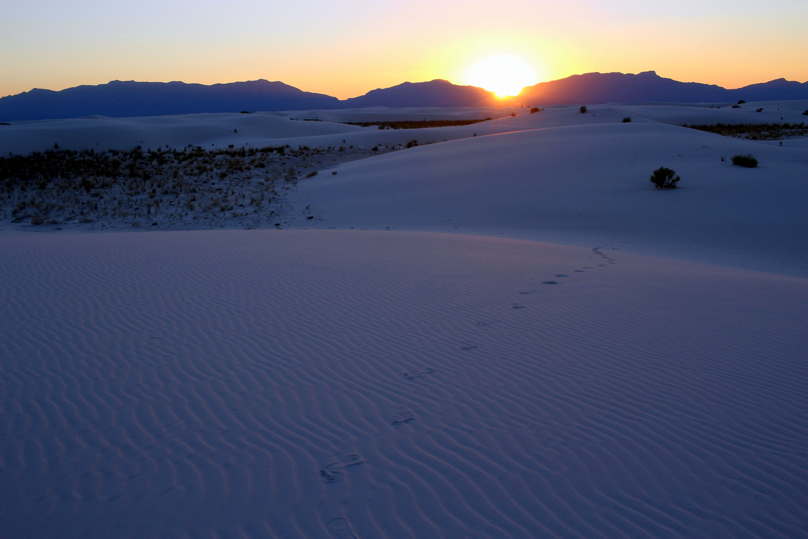
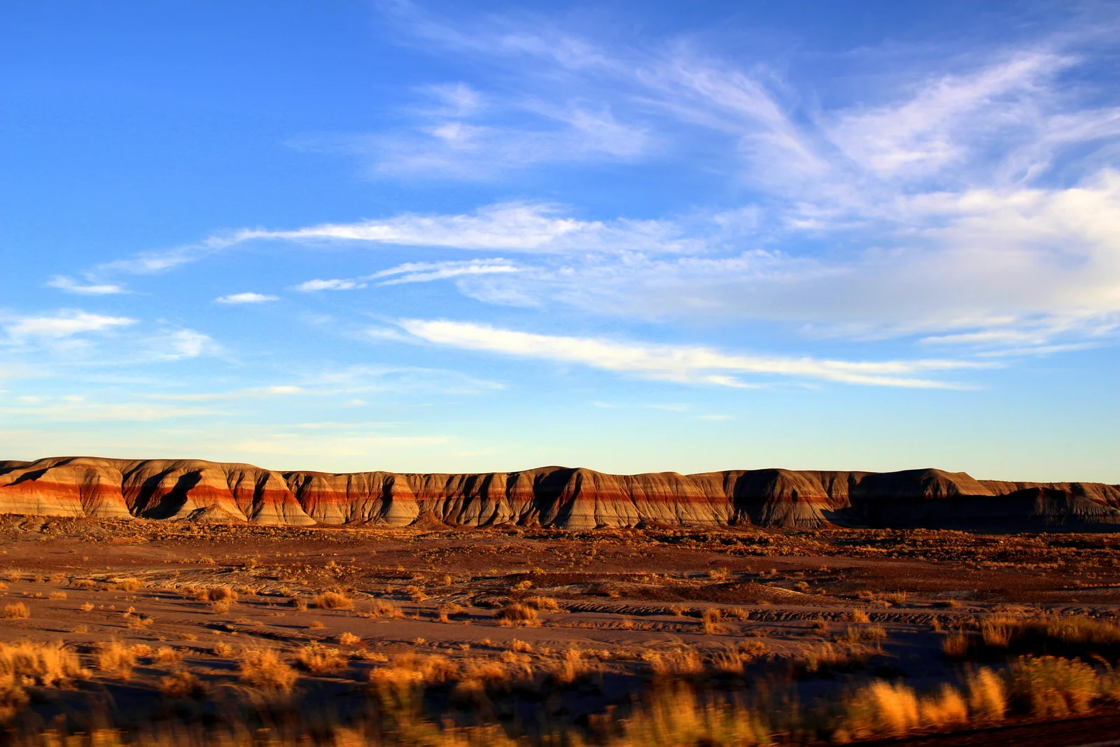
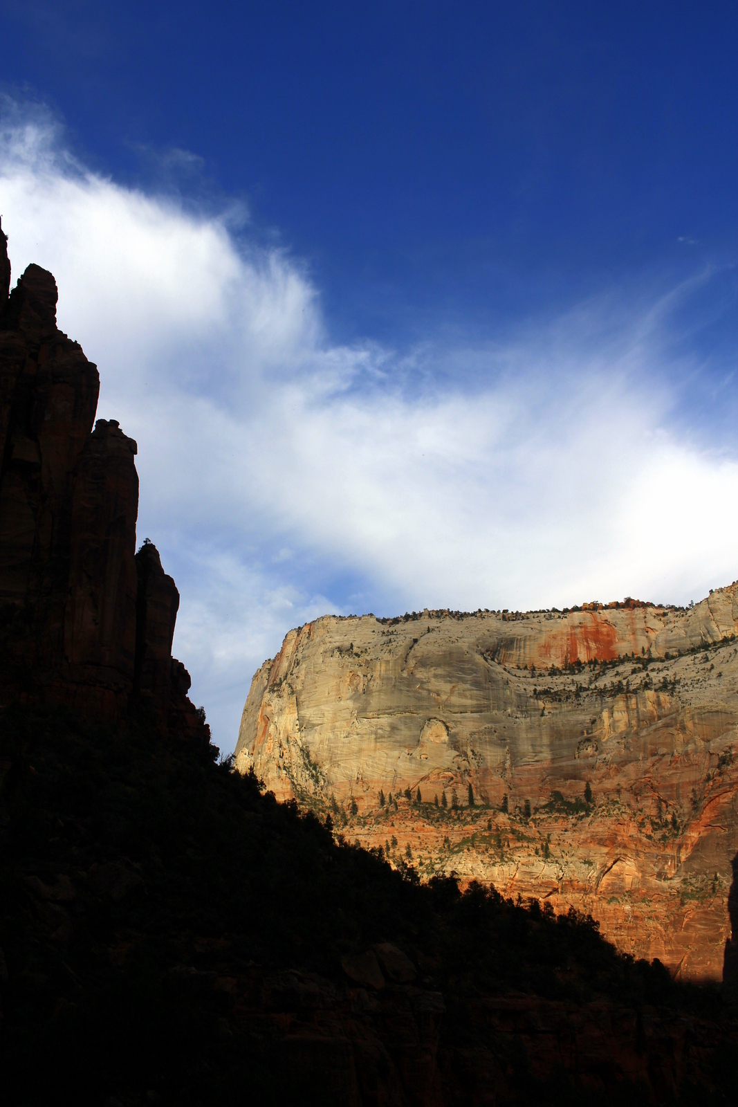
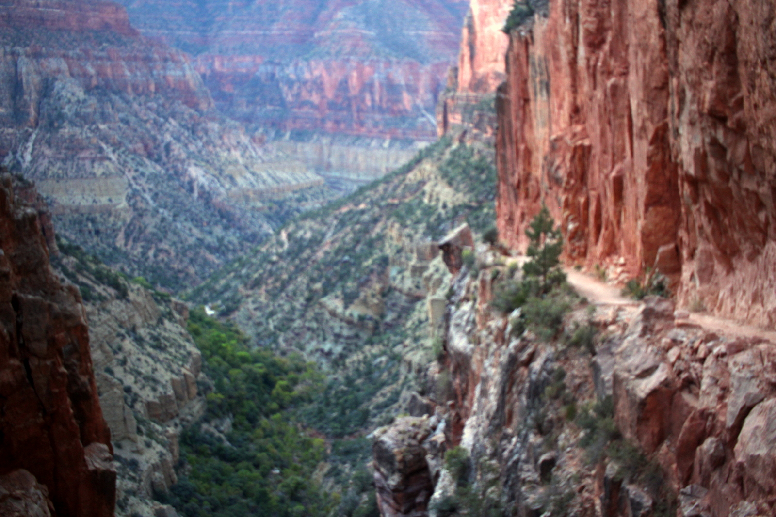
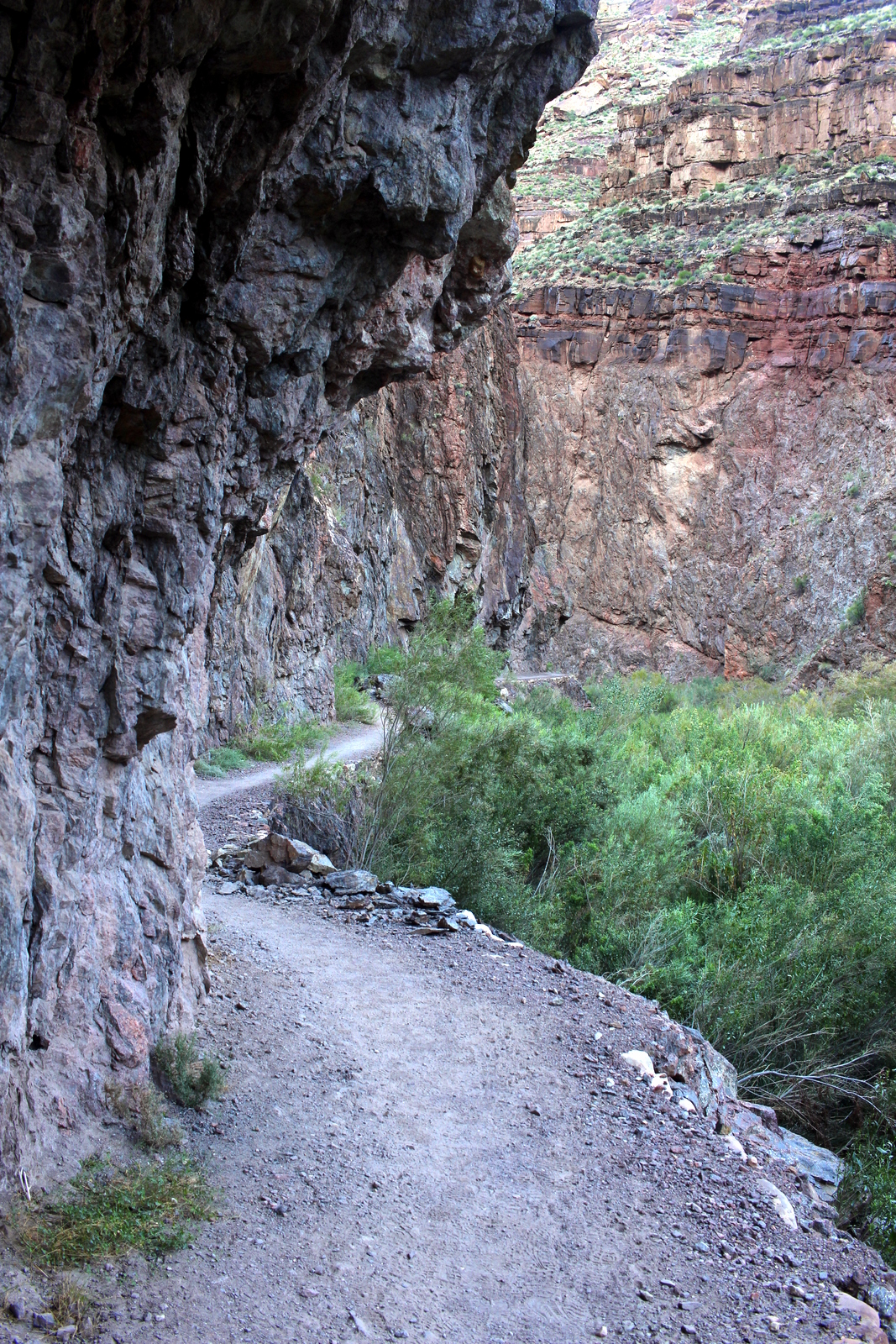
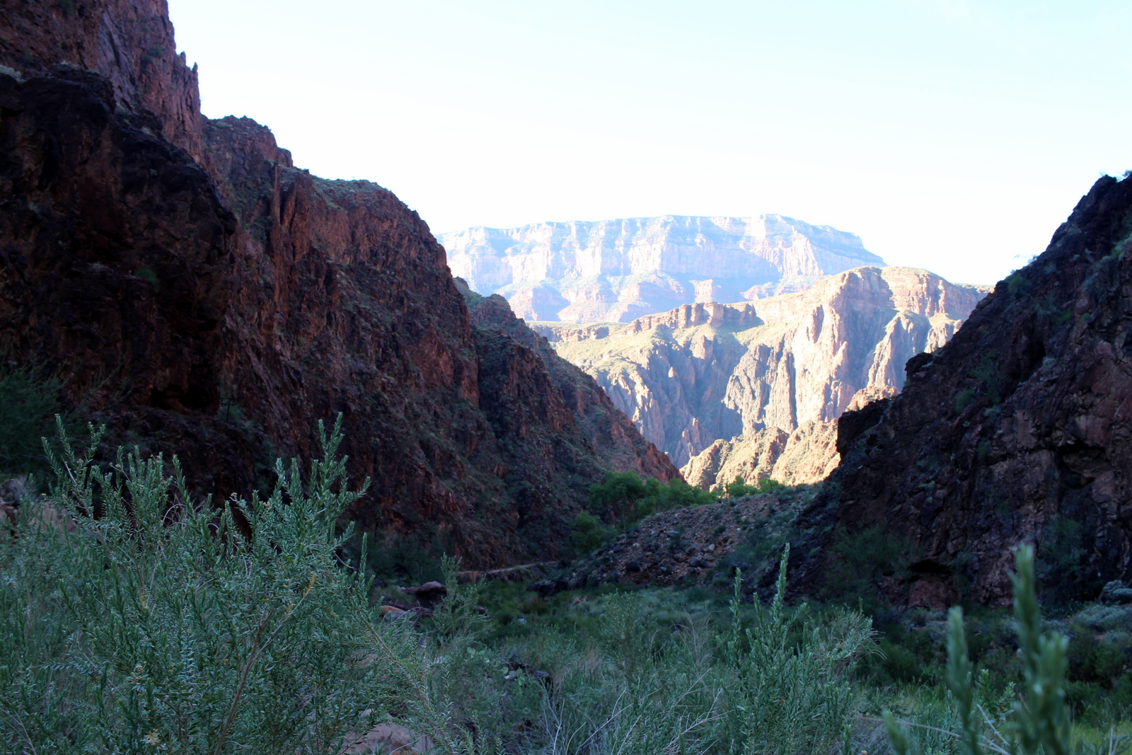
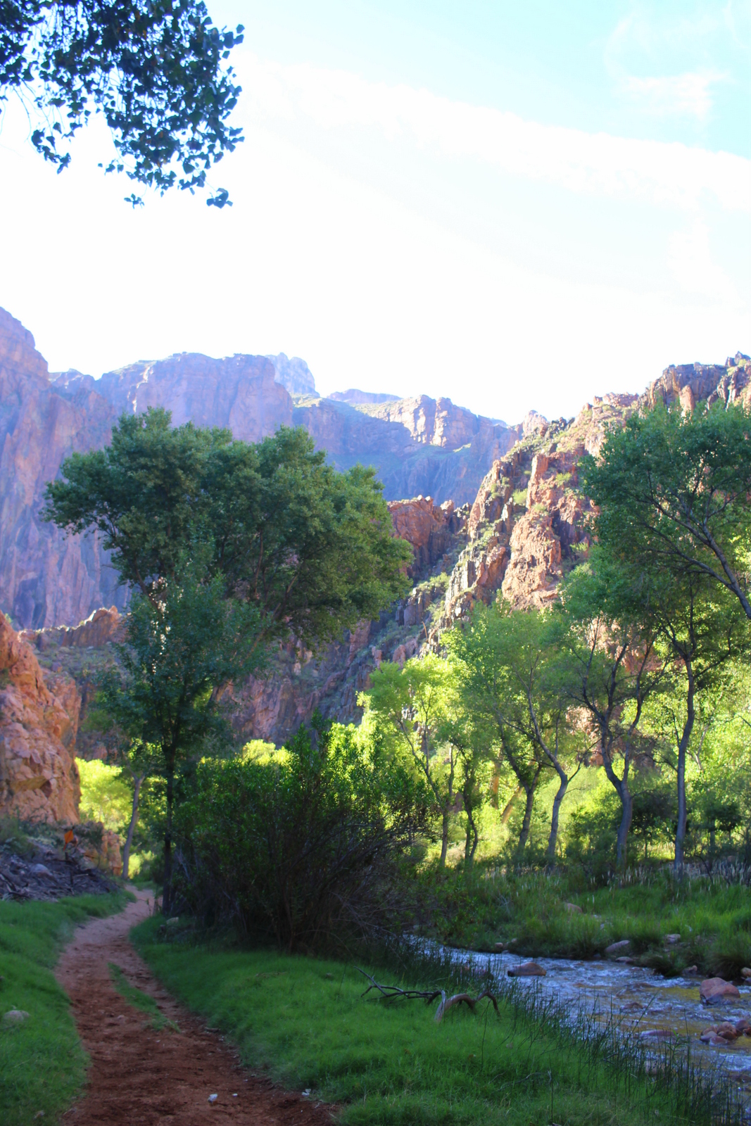
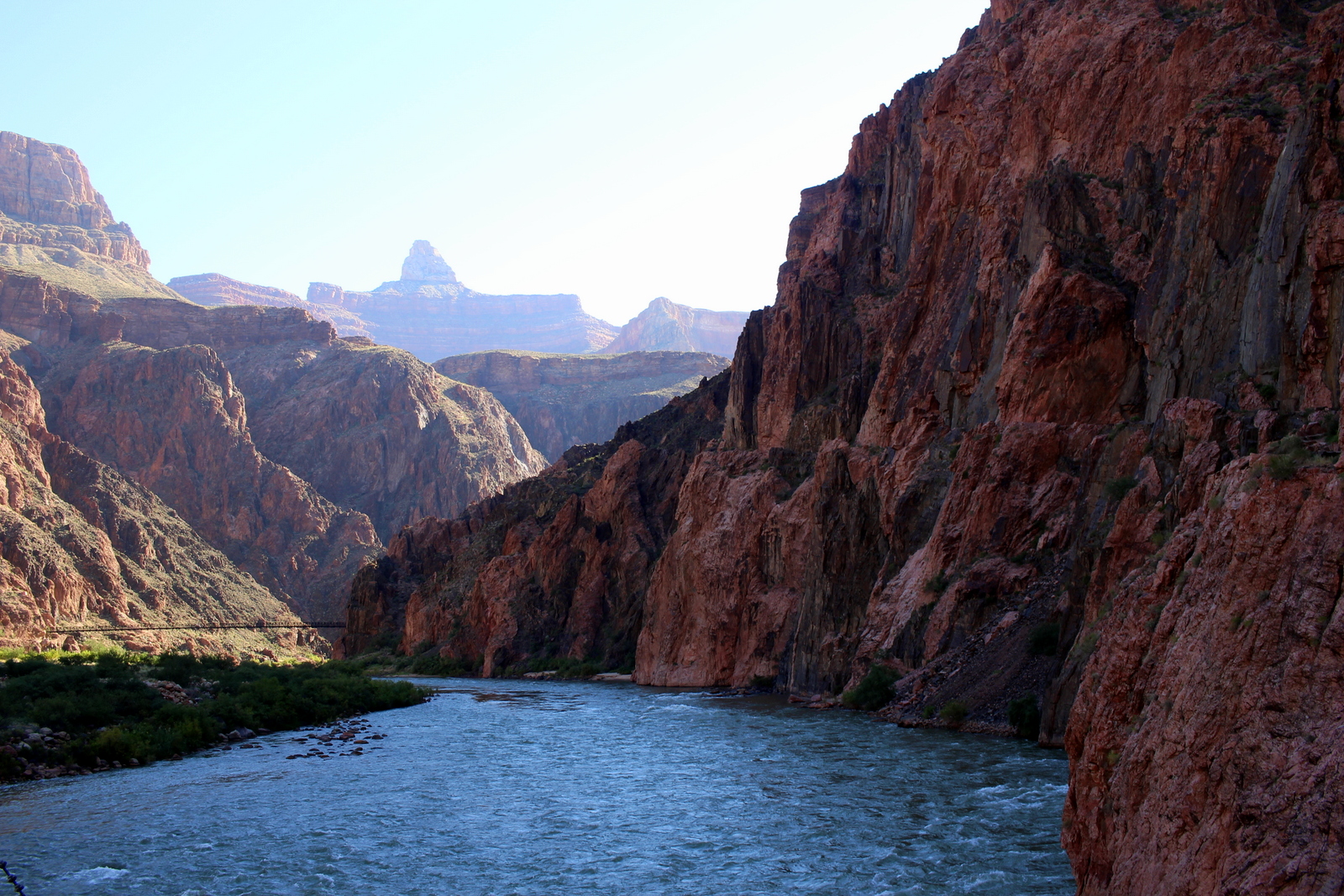
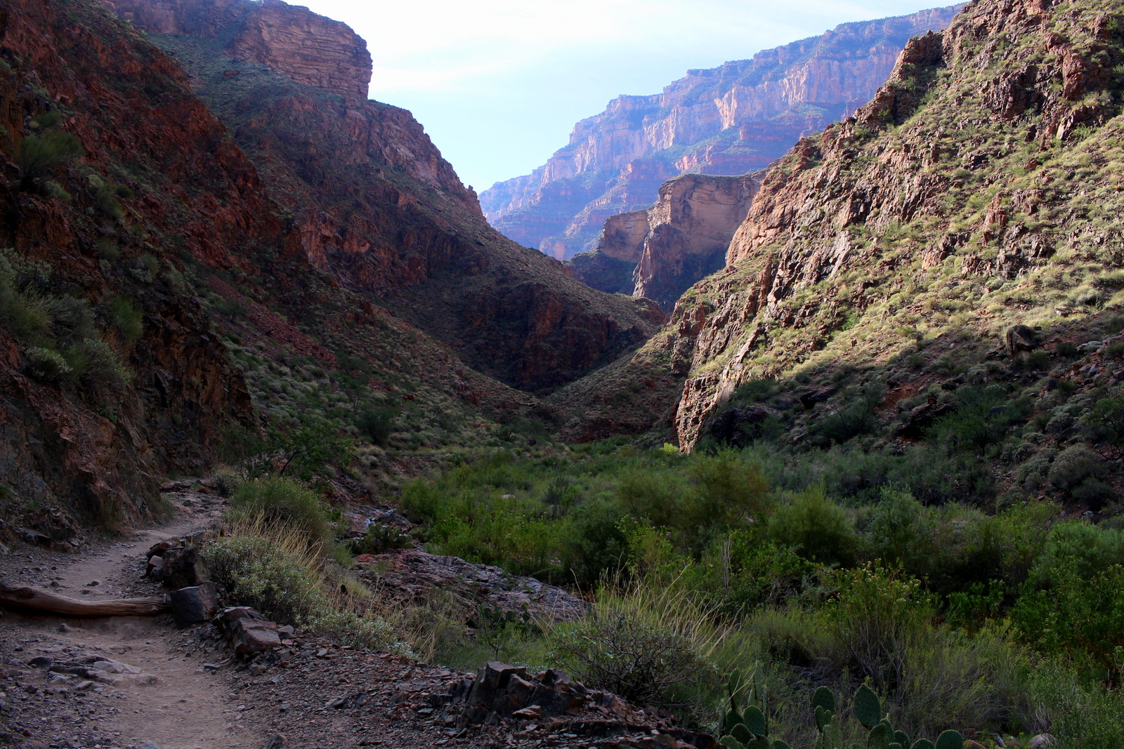
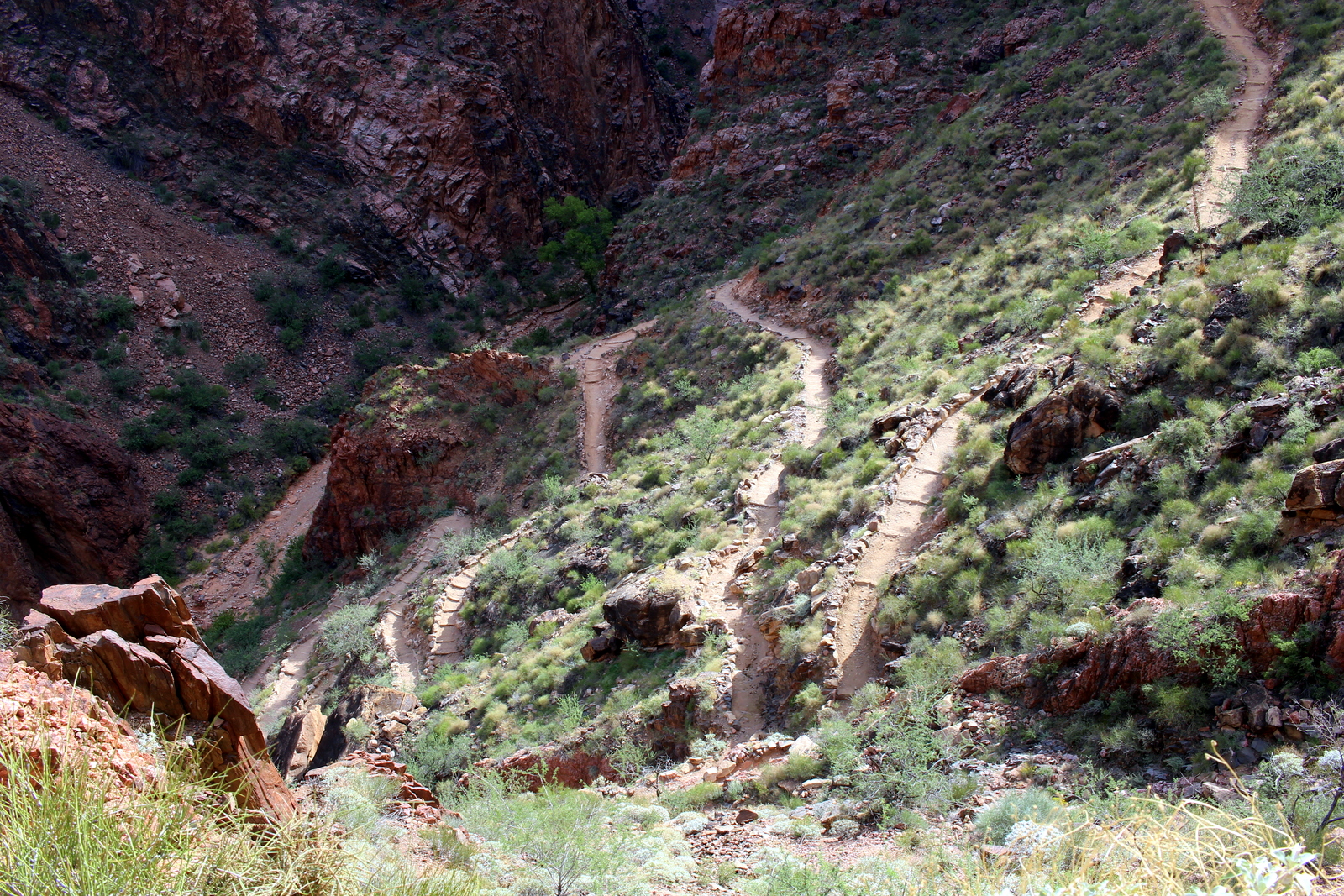
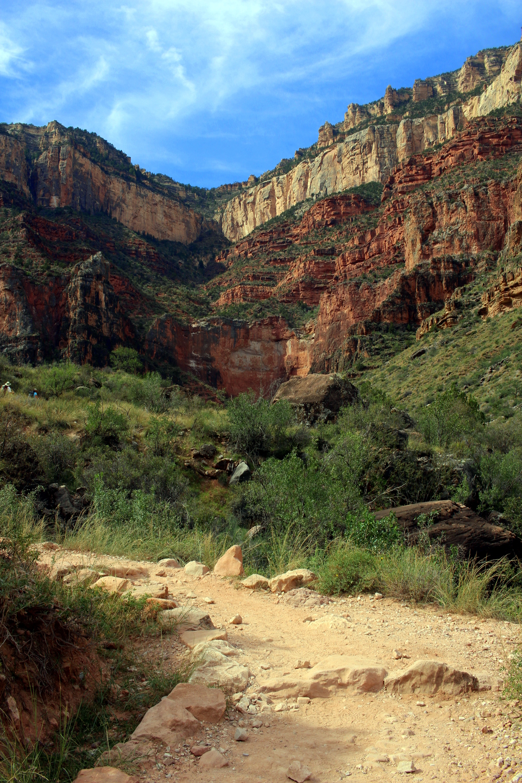
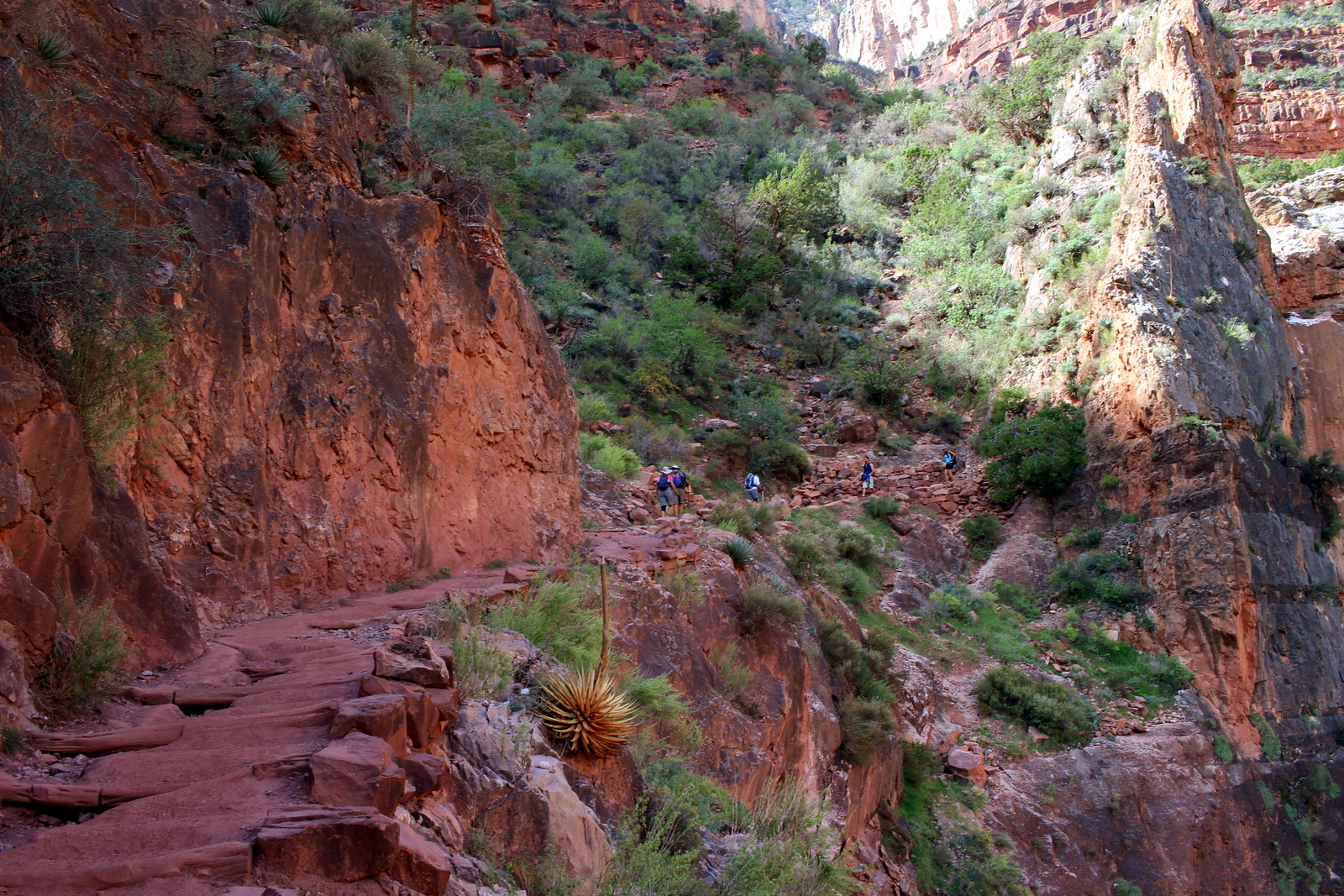
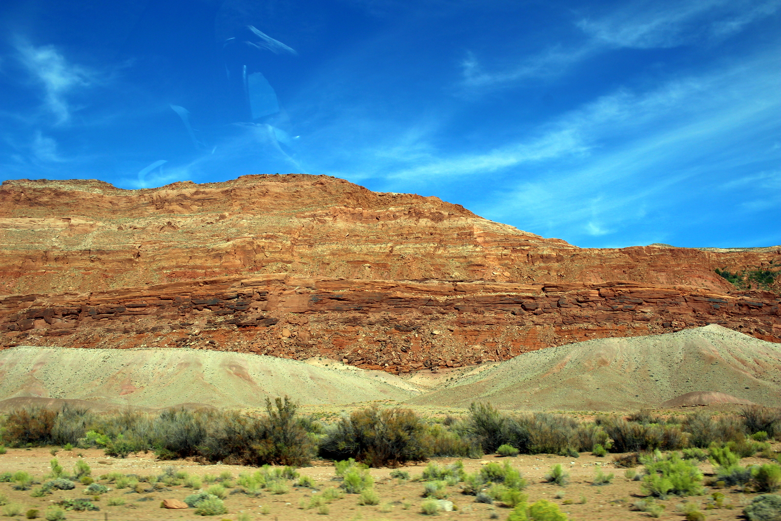
I was running the Go Big 50K, a new and unique road ultramarathon sponsored by Alyx and Billy Barnett of Hawaii Mountain Running. The picturesque course takes you from the lush mountain town of Volcano (at ~4,000 feet above sea level) through the volcanic southern slopes of Mauna Loa, and down to the finish at Punalu‘u Black Sand Beach Park (at sea level) on the Big Island of Hawaiʻi.
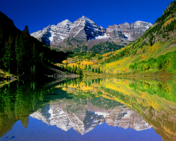
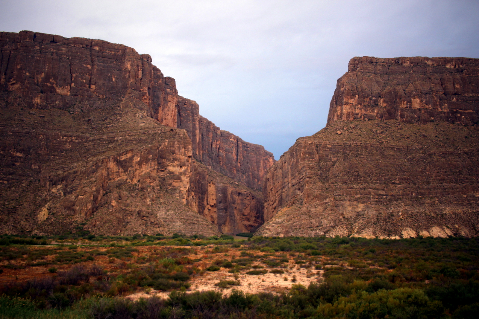
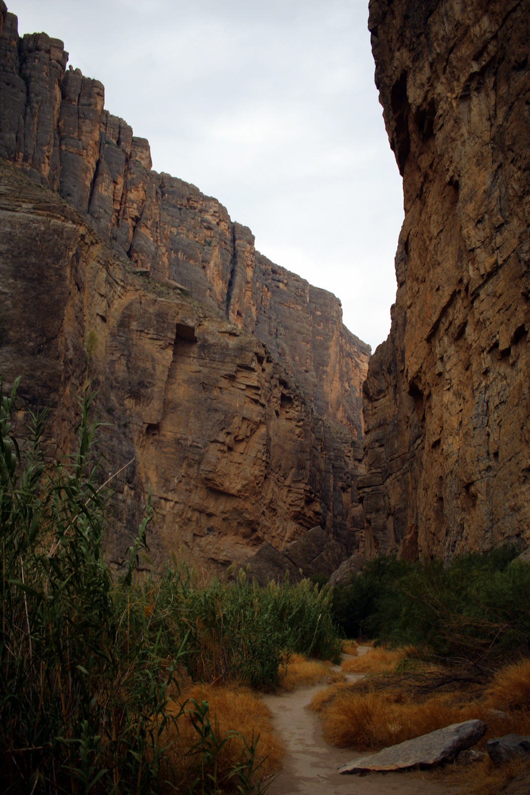
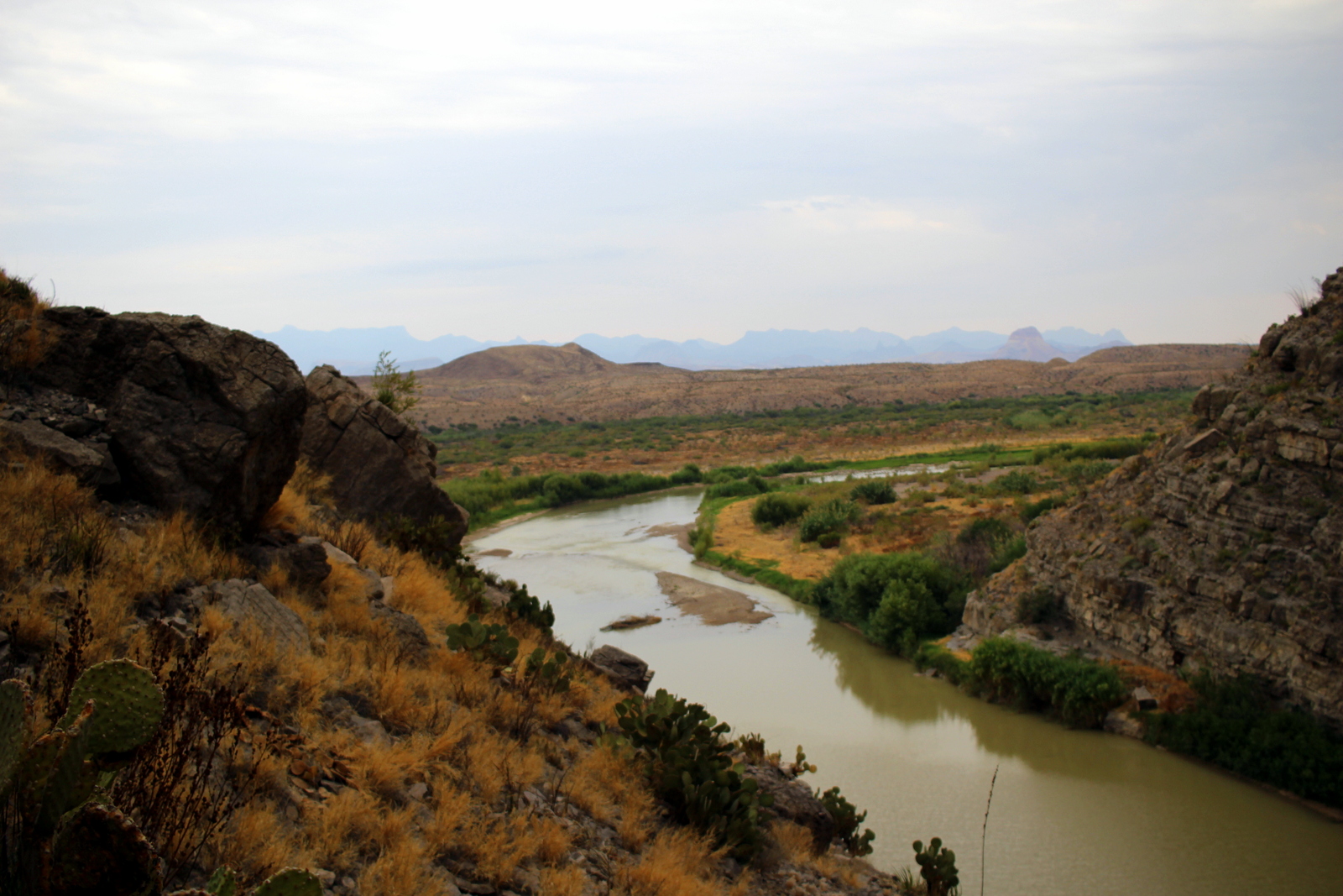
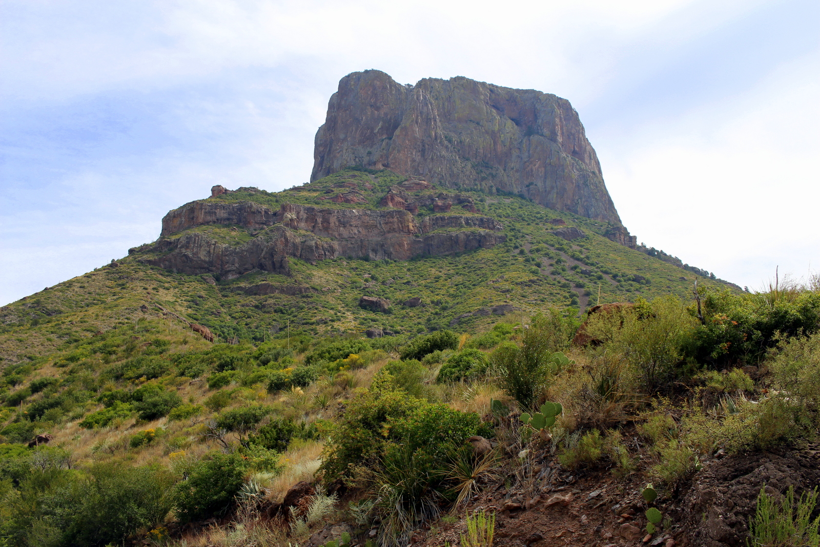
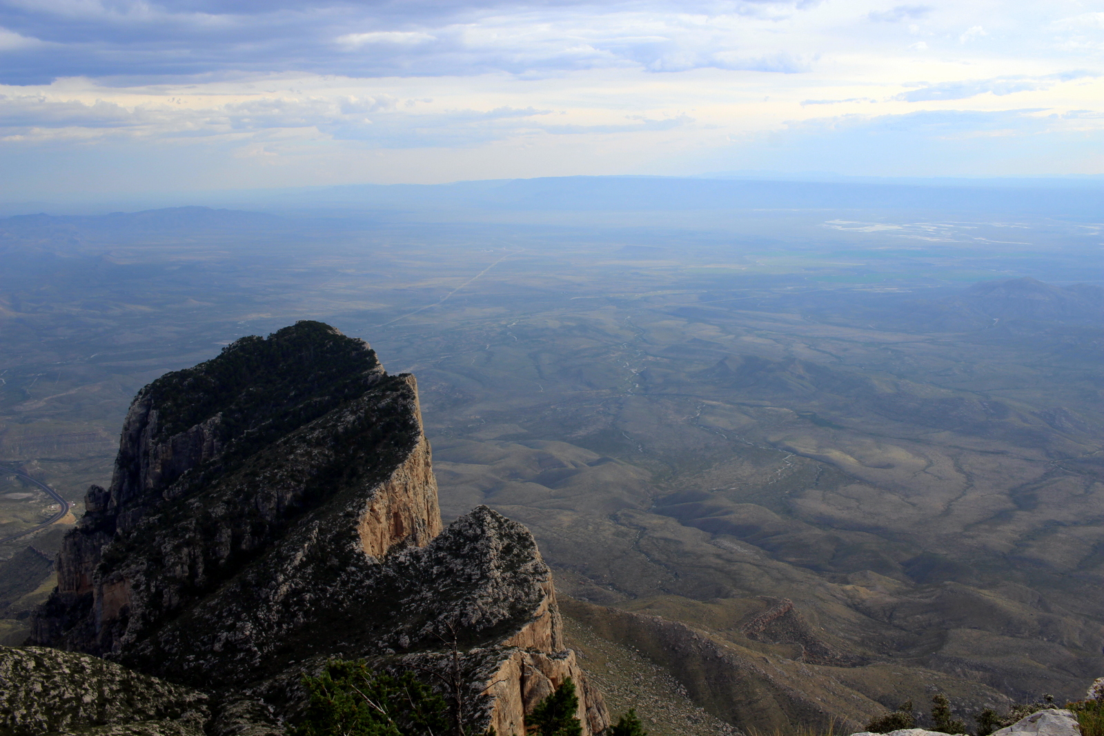
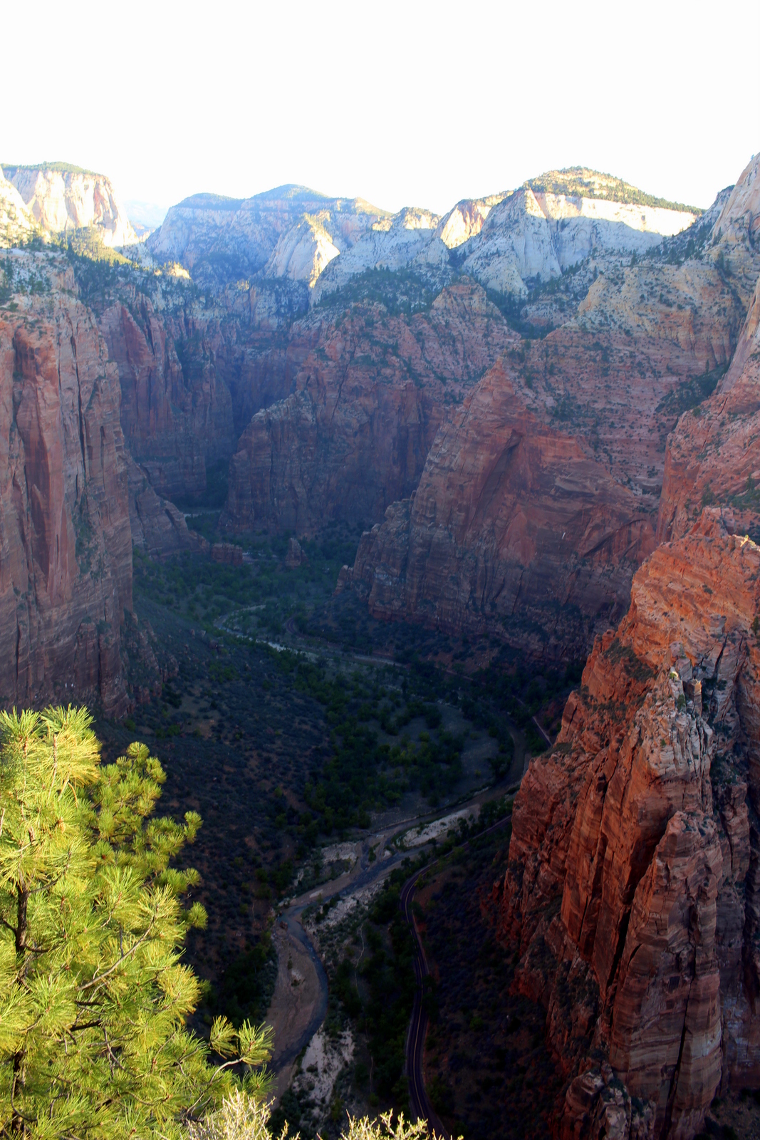
The finish. Not a bad spot.
I’d signed up for the race, almost at the last minute, because I was antsy about racing again. I’m someone who finds tremendous meaning and purpose training for and competing in races. Races are the “big rocks” on my calendar around which I tend to structure my life.
But the pandemic had taken that structure and purpose away from me. Indeed, my last ultra race was in November 2019, 1.5 years ago. And while I’d raced a road 10K in March 2020—the weekend before our world turned upside down—it had been a really long time since I’d truly pushed my limits. Coupled with the trauma and disruption of the pandemic itself, this missing piece in my life wore me down.
Frankly, this past year, I felt more down on running than I’ve ever felt. I’d gone from feeling invincible as a runner—running 60-70 miles per week, running sub-6 pace for a 10K, knocking out consistent speed workouts in preparation for The Speed Project—to being told that I could not leave my apartment, or go to the parks, or run on mountain trails. I tried my best to keep active (and found running routes in the most isolated, industrial parts of Honolulu, far from other humans, as the CDC advised), but by September, I was lucky if I broke 30 miles or ran more than 2-3 times in a week. All motivation was gone.
I’d kicked off 2021 with a 100-mile challenge—I ran one Tantalus road loop (14.3 miles) every day from January 1 to 7—as a way to shake off the malaise. Since then, I’d slowly begun building back up again. But it still felt a bit purposeless because I had literally zero races on the calendar for the year.
But then Alyx shared at the end of March that she was putting on the Go Big 50K in a few weeks. A few elite runners were trying to run qualifying times for the 50K world championship. Having seen the progress the country was making with vaccines—and having gotten vaccinated myself—I felt safe enough to scratch my racing itch. I hopped on a plane to Big Island, ready to push my limits once again.
My plan (and then a change of plan)
Knowing that the course descended 4,000 feet (and was thus, in theory, very fast), I tentatively set the goal of running 3:30 for the 50K distance. That would mean 6:46 pace for 31+ miles. If I could pull that off, I’d walk away with both marathon and 50K personal bests. On paper, this was an aggressive target. But I felt it was feasible because, while my recent training had not been stellar, it had at least been somewhat consistent—and that consistency had made my aerobic engine very efficient. I wasn’t trained to run at 5:30 (or even 6:00) pace for very long, but I believed that 6:46 was a pace I could hold for 3.5 hours, especially on a speedy downhill course.
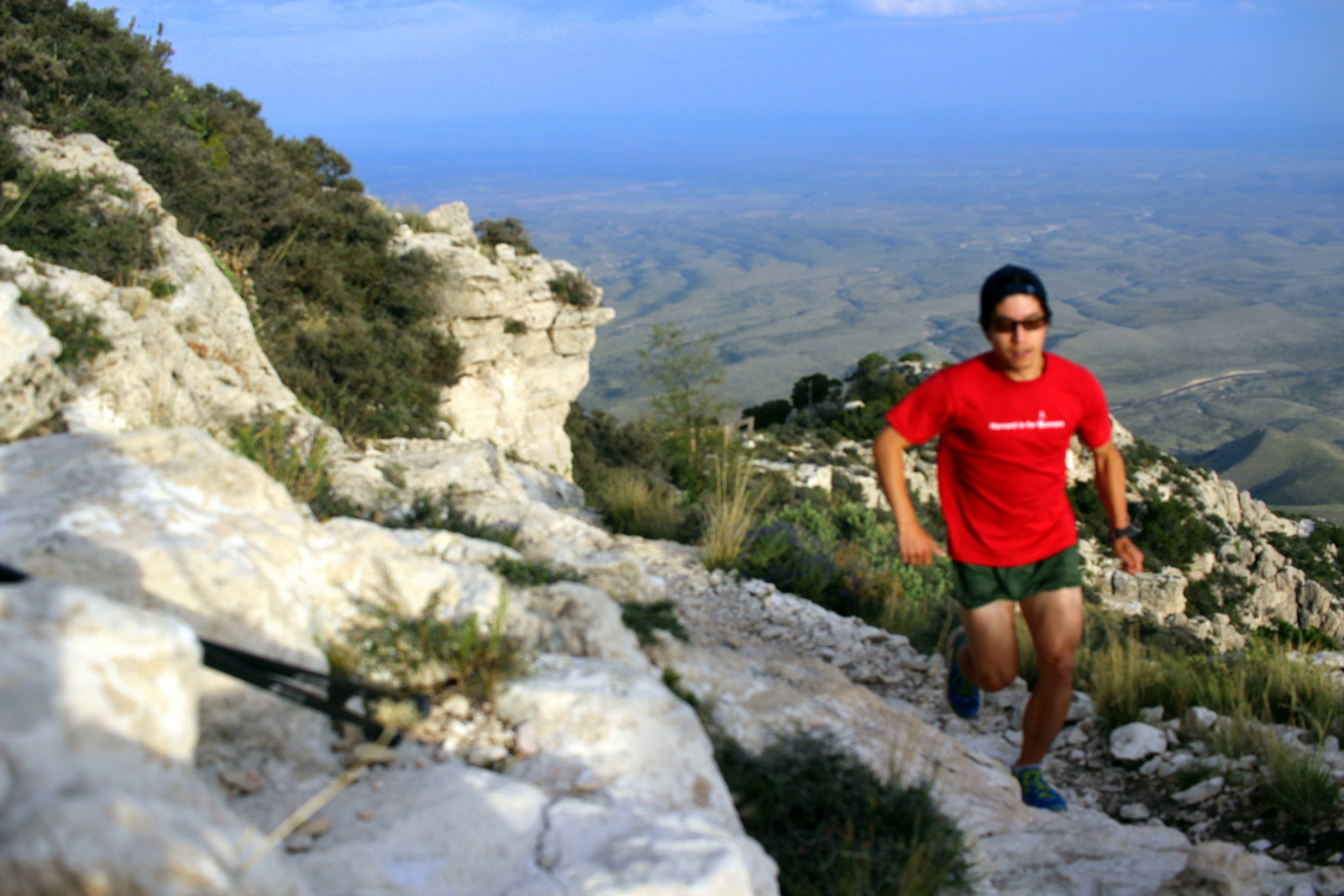
I’d also tapered well, and felt energetic during a final shake-out run the day before the race.

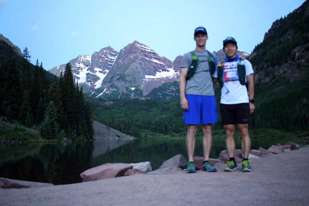
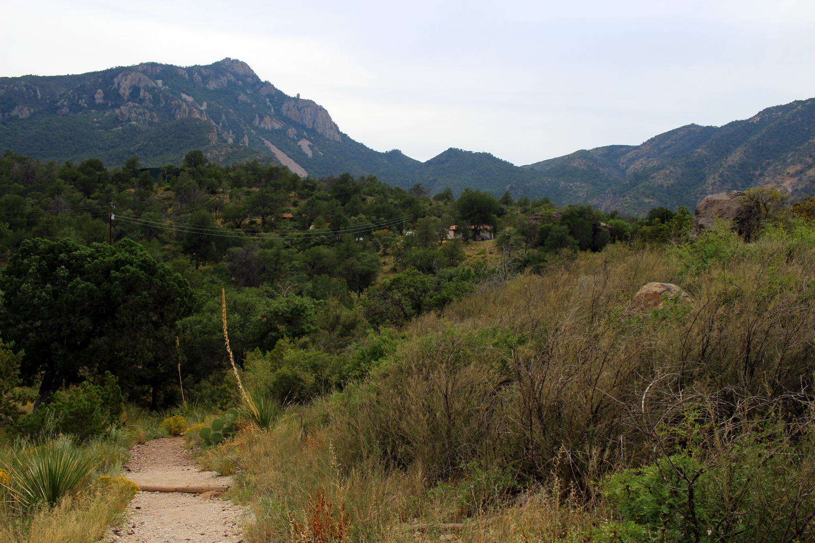
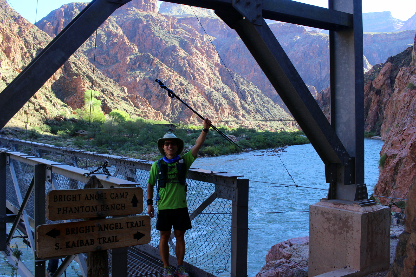
Shake-out run in Kilauea Iki crater—a beautiful part of Hawaii Volcanoes National Park—with the boys: Fernando Cabada, Anthony Kunkel, and Billy Barnett.
But then my plans changed. Alyx told me that Cat Bradley—2017 Western States champion and all-around badass trail-ultra runner—was coming to race and was also shooting for 3:30. Hitting that time would qualify her to represent Team USA at the 50K world championships. Alyx asked if I’d consider pacing Cat. Having followed Cat’s meteoric rise in the ultra world—and having paced and crewed another elite runner, Kyle Pietari, at the 2018 Western States and heard all the hype about her—I obviously said yes.
Just like that, I went from being a purposeless, unmotivated runner, to getting stoked to race in any context, to shifting my focus to helping Cat Bradley achieve a big goal.
The start line
I have to admit that I was feeling anxious when I rolled up at 5:50 a.m and connected with Cat as she was warming up. I’d never met Cat before. I’d tried to link up with her the day before to understand her pacing goals and needs, but we hadn’t been able to chat. How serious or intense was she going to be?

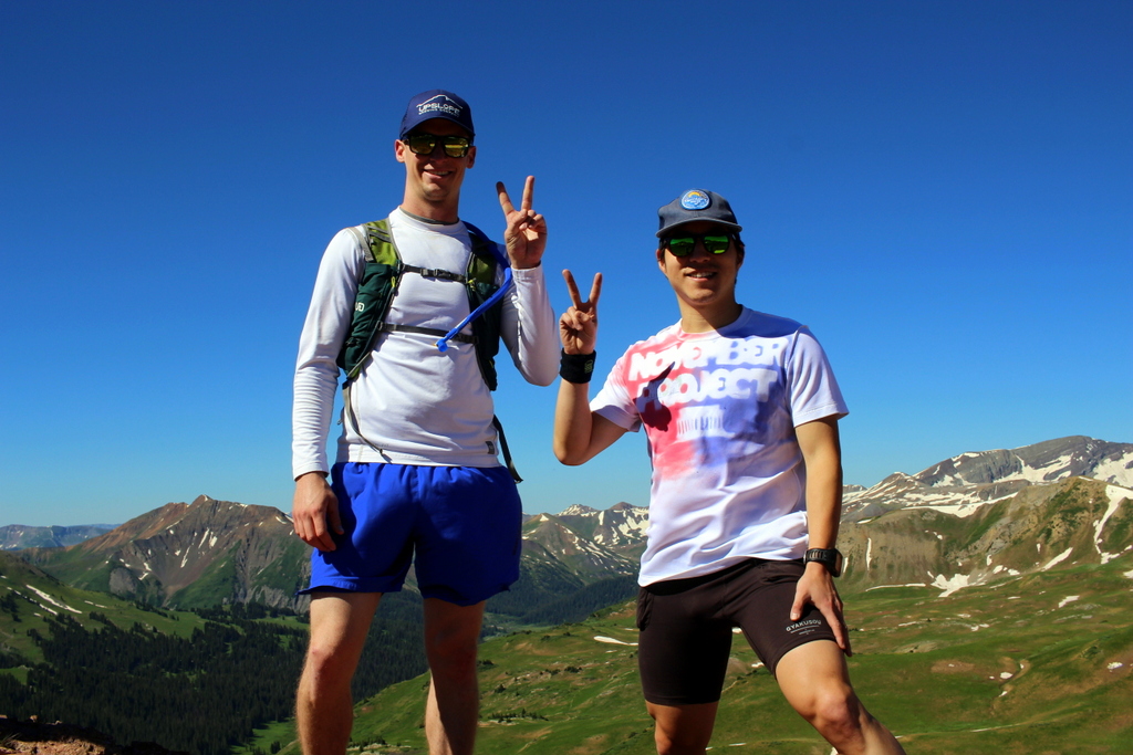
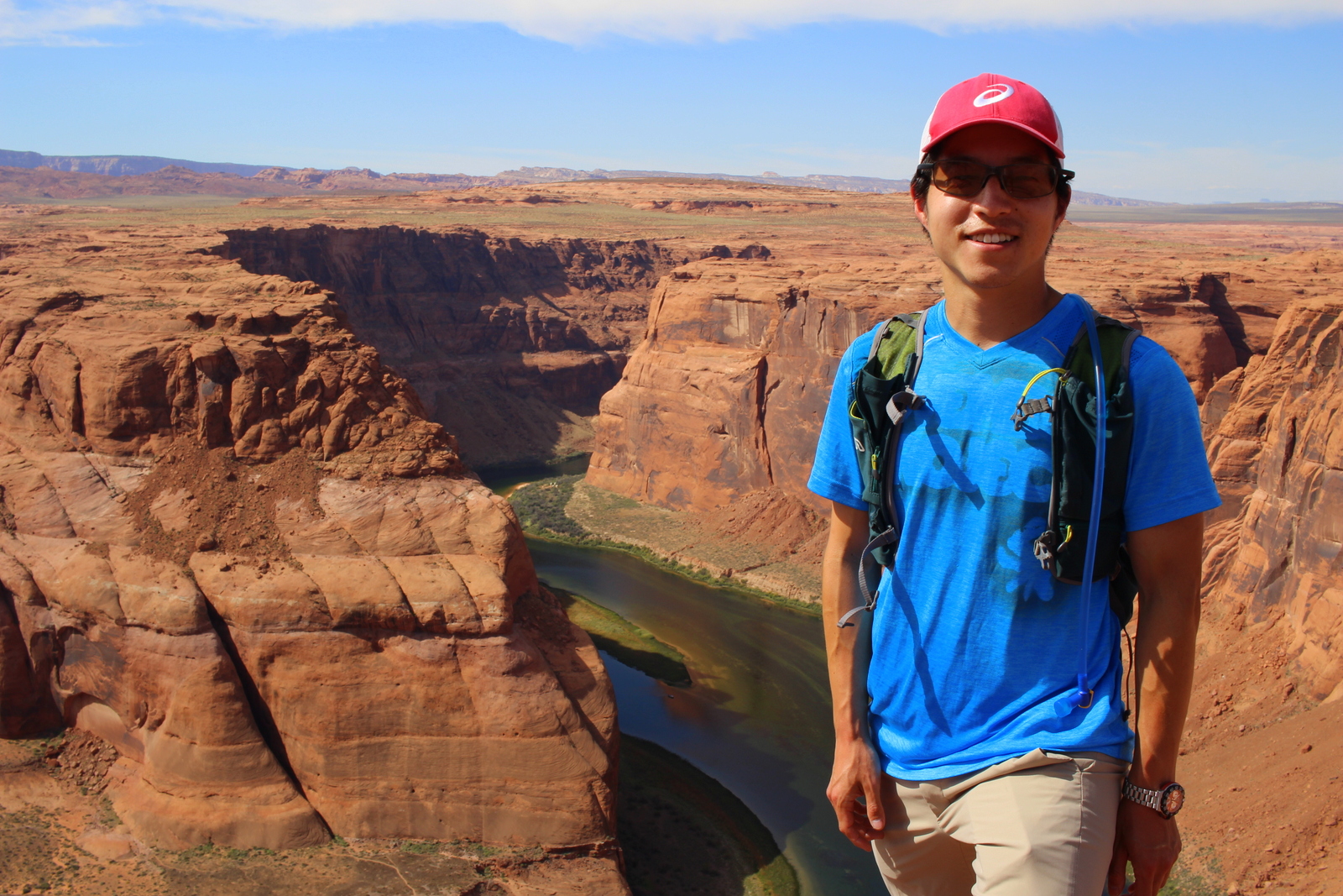
Pre-start selfie.
Well, spoiler alert: Cat is the nicest human being ever! It was clear from her warmth and her smile that, while she was there to throw down, she would do so with levity. My start-line anxiety was partially defused.
But that anxiety wasn’t fully defused. Knowing that Cat had a very big goal, and that the stakes were high, I was still nervous about sucking as a pacer. I know how important a pacer can be. Pacers quite literally set the pace, help the runner make decisions (including when to eat and drink, which is crucial for a high-intensity effort like a 50K), keep company, and—of course—distract from the pain. I didn’t feel ready to be a good pacer for Cat. I hadn’t run more than 20 miles in a year and a half. How was I going to run 31 miles at a pace faster than I’d ever run before—and nearly 1.5 hours faster than my previous personal best for the distance?
The start
The start wasn’t quite ideal. In my view, we went out too fast. We hit the first mile in 6:47, which, believe it or not, seemed a mistake. While 6:47 was the overall pace we needed to hit, the first 3.5 miles of the course gained almost 500 vertical feet. Adjusted for grade, we’d run that first mile in a flat-land equivalent of 6:14 pace—too fast! The second mile, at a grade-adjusted pace of 6:23, wasn’t much better. So, less than 10 minutes into the race, I found myself already huffing and puffing (signaling that I’d crossed my anaerobic threshold) and feeling like I’d signed up for the wrong job. I also had my first negative thought: “I’m not going to last very long…”
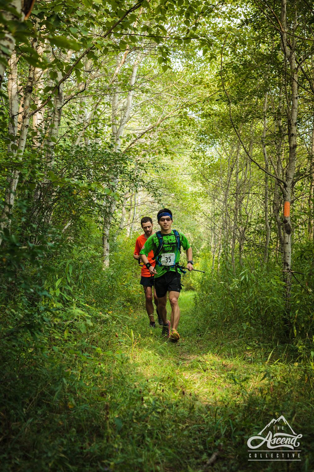
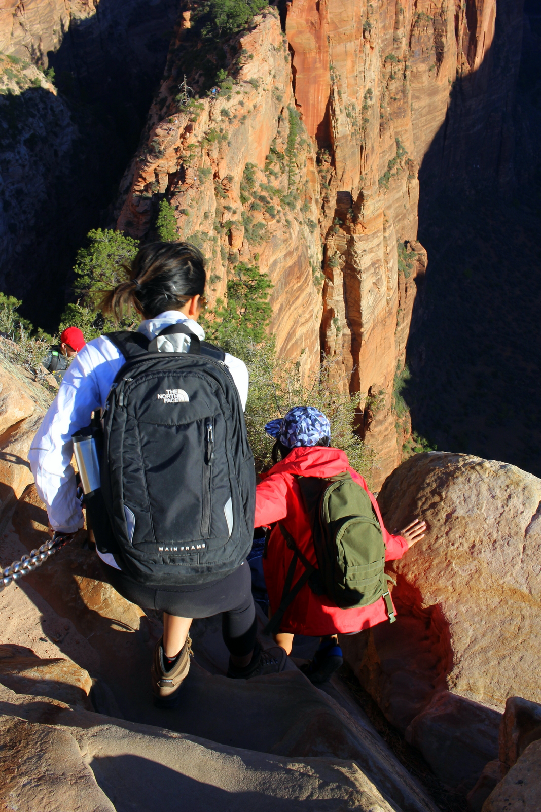
We had a good pack though. A local young gun, Will Hubert, and then a local seasoned pro, Bree Wee, were right with us.

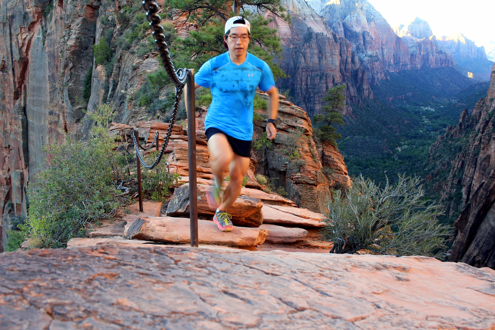
Thank you, Kawika Singson, for the action shot!
I briefly thought about telling Cat that we needed to scrub the pace. But I decided not to. Why? I’d first met her only 15 minutes prior, and we’d not had the chance to discuss precisely if or how she wanted me to dictate the pace. Without that discussion, I sure as hell wasn’t going to mansplain to an elite professional runner how to run her race! (Knowing Cat now, if we were to do this again, I think I probably would speak up—ha! 😜) But as luck would have it, Cat eventually called out that we should slow down. My anxiety eased some more.
The middle
The middle of the race was the best! Once we hit the crest of the mountain—which was also the highest point on the course—things quickly came together. As we began our descent towards the ocean, the miles started flowing, almost effortlessly. For a ten-mile stretch we clicked off these mile splits: 6:28, 6:28, 6:28, 6:20, 6:30, 6:18, 6:26, 6:24, 6:17, 6:21. My heart rate was high, but generally below my anaerobic threshold of ~170bpm. It was hard, but not (yet) painful.

Cat “Cruise Control” Bradley.
By this point, we’d dropped both Will and Bree, so we were on our own, with the exception of our awesome bike pacer, Todd Marohnic.
The miles began blurring together, in a good way. This was partly because we’d settled into a more-sustainable pace. But the cool weather and the beautiful scenery helped too. There was also a subconscious survival mechanism at play: when you’re in the thick of a race, one way to endure is to essentially tune out the details of the things that might distract you (e.g., the discomfort, the number of miles left to run). Relatedly, I’d entered into a flow state, laser-focused on the task at hand: get to the finish in 3 hours and 30 minutes.
I did my best to keep the pace as smooth as possible, to avoid needlessly wasting energy. This came into play most when we passed other runners. Because the race used a COVID-appropriate staggered start, we’d started in the last wave. As the miles clicked, we’d see runners—who initially appeared as specks on the horizon—grow bigger and bigger. As we got within striking distance, I could feel Cat picking up the pace, ever so slightly. I urged her to scrub such accelerations: “let’s catch that person in the next 5 minutes, not 2 minutes!” I knew that every little surge was only burning through the energy reserves that are so critical to success in the end stage of a race.

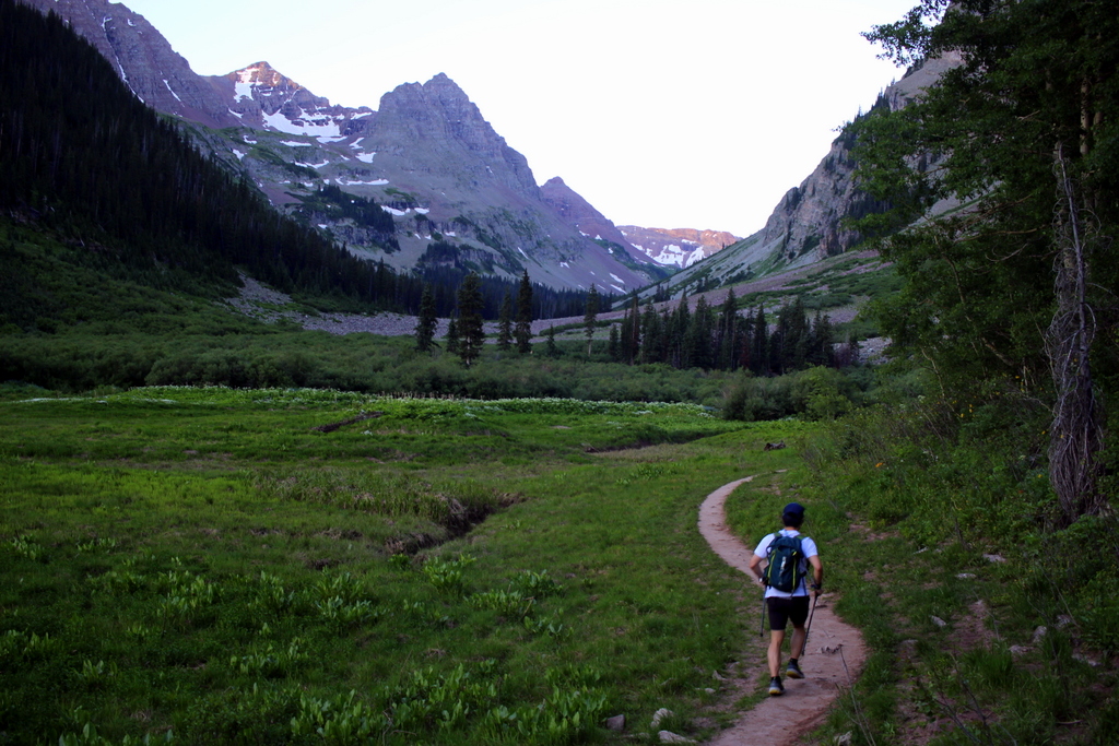
A goodbye selfie before hitting the eject button.
By about mile 18, I could start to feel the accumulating stress of the race and the downhill course—and the absence of long runs from my training. My hamstrings were starting to feel strained. The calves were twinging. My toes started cramping. I told Cat that I’d stay on pace through mile 20 and then consider dropping off—I didn’t want to run with her if there was any possibility that I was dragging down her pace even slightly.
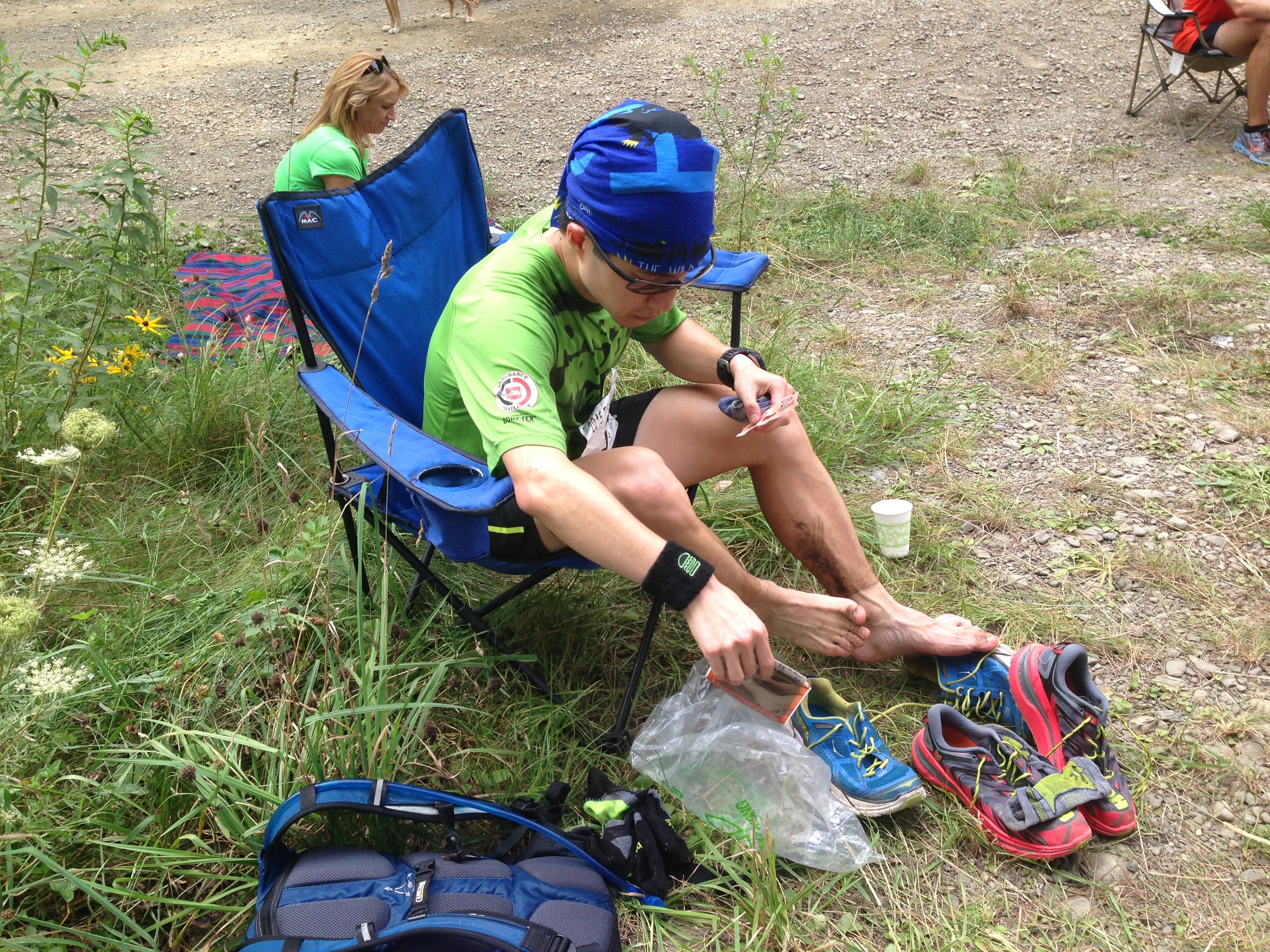
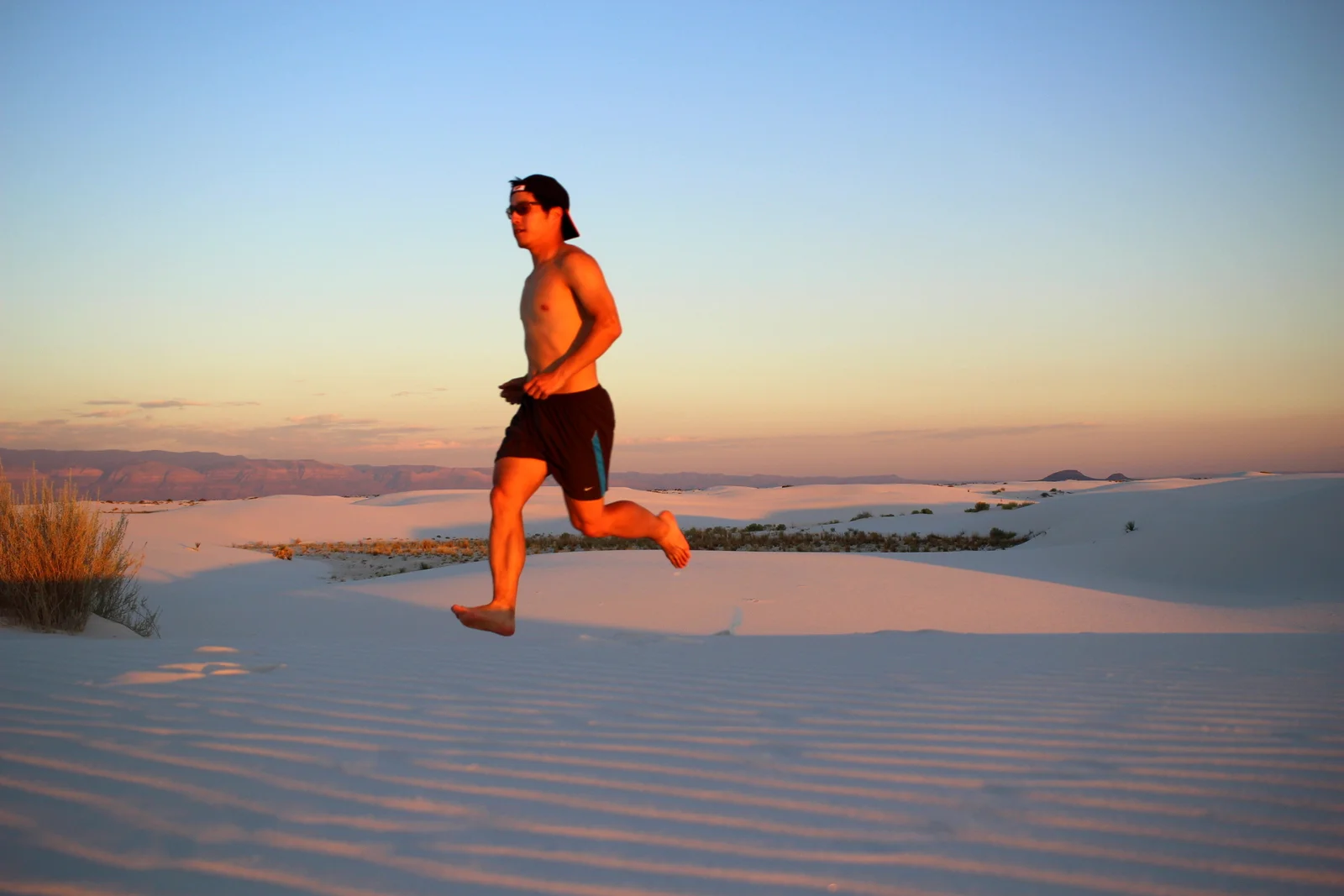
I lasted a little longer, but not much. After 22.25 awesome miles—and 2 hours and 25 minutes—running with Cat (at an average pace of 6:32!), I decided it was time to hit the eject button. I wished Cat the best, shouted some words of encouragement, and then slowed to a stop at a water drop. Oh, but right before ejecting, I grabbed some running selfies because, well, #picsoritdidnthappen.
The end (AKA the death march)
The final ~10 miles after hitting eject were a blur, but this time in a very, very bad way. After refilling my water bottle with a fresh serving of Maurten 320 (“Major Key Alert”: fuel with Maurten!) and popping some salt pills, I set out to “keep it casual” and run 7:30s to the finish—a pace that I felt would be easy, especially with the 1,500 feet of descent still left. I settled into what I thought was that sustainable pace. A few minutes back into the swing, I noticed that I was actually closing the gap to Cat. Maybe I’d catch back up?
But then my body shut down. Whether it was because I was subconsciously accelerating in an attempt to reconnect with Cat, or whether it was because God was there to smite me for trying, my body started going haywire, unleashing a rolling wave of uncontrollable cramps and spasms. A cramp would set off in my left calf, which caused me to stumble to the left, igniting a fresh twinge in my right groin. For the first time ever, the muscles right in front of my throat started cramping, constricting my breathing. Then the muscles under my rib cage seized up badly, making it difficult to inhale. Various parts of my back cramped up too (had I even been using them?). I slowed to a stop on the side of the road, shaking and vibrating like I’d been electrocuted. I looked down at my watch and had the terrifying realization that I was still at mile 24.
I switched from “keep it casual” mode to “death march survival” mode. By now, my only goal was to finish the race without crumbling into a seizing, cramping heap of dysfunctional muscles on the side of the road. Just a few minutes earlier, I’d calculated that I could cross the marathon mark in 2:52, which would be a 6-minute PR. But with the increasingly frequent and long cramp-induced stops that I’d been making, I was beginning to worry that I wouldn’t even break my marathon PR (thankfully, I did sneak in ~2.5 minutes under my 2:58 previous best).
My race become a complicated, pain-infused balancing act. I had to run fast enough that I would minimize the amount of time on my feet. But I couldn’t run too fast, lest I risk overloading my muscles and setting off the next shockwave. Ironically, it was when I slowed down and took walk breaks that the muscle spasms unleashed themselves with the most fury.
I began popping 2-3 salt pills every 15 minutes. I’d started with about 15 pills in my pill bottle, and had been taking 3 pills every 45 minutes. But I knew I was experiencing a serious electrolyte imbalance. As I poured the last pills from the bottle into my mouth, I realized I still had 5 miles to go.
Negative thoughts compounded. Will the cramps take me out? Was I even going to finish? After such a fantastic first 2/3 of the race, was I about to DNF? Was all of this for nothing?
Thankfully, the husband of one of the other racers was out on the course crewing. He saw that I was in serious distress and began waiting for me every ½ mile or so to throw me a few electrolyte pills, pour cold water on my head (by this point, the sun was out, and we’d entered the hottest portion of the course), and—perhaps most important—share words of encouragement.
Those last 5 miles felt like an eternity. I tried to keep 8:30 pace, but even that was prompting new cramps and spasms. After nearly falling over when both calves seized in synchrony, I slowed to 10:00 pace and told myself I just wanted to cross the finish line in one piece.
3 hours, 44 minutes, and 19 seconds in, I crossed the finish line.
Thank you, Kawika, for this cool personalized highlight video.
The celebration
There was lots to celebrate at the finish line. First of all, I’d finished—and I’d beat my half-marathon, marathon, and 50K PRs along the way! And Cat had snuck in under the world championships qualifying time with 7 seconds to spare! So many others had had stellar days, too. Fernando had run 2:50:23 (5:29 pace), which put him on the U.S. all-time fastest list. Anthony and Billy both crushed. Vicki—whose husband had supported me at the end—finished in 4:08 (important note: Vicki is 60 years old). Several other locals finished their first-ever 50Ks. The positivity, the warmth, and the happiness of that finish line environment was so energizing.

Finish-line selfie with Cat.
After taking a quick dip in a tidepool, I hobbled back to the finish line to chat with everyone. I realized that this was my first time really connecting with runners and the running community since before the pandemic began. Sure, I’d gone on the occasional trail run with one or two other runners. But for the most part, this past year, I’d spent the vast majority of my runs on my own. Don’t get me wrong—I really like, and in some ways prefer, running alone. But at the same time, it was awesome to feel camaraderie and community once again. I didn’t realize how much I’d missed it.
I debriefed with Cat. She mentioned that the wheels had also fallen off her bus (just a few miles after I’d said goodbye) and that she’d had to fight to cross the finish line under the cutoff. We commiserated with each other about our races and played out a few “what ifs.” But mainly, we just reveled in the joy of being done, and having accomplished big things.
It was strange to think that I’d met Cat for the first time just 4 hours earlier. It certainly didn’t feel that way. I think this says something about how running can forge intimacy in a unique way. Whether it’s because we were teammates on a shared mission, suffering together and next to each other; or because running forces people to be fully present, far away from the distractions of modern life; or because running spurs physiological change that makes connection easier—I felt like I’d known her for a long time!
I’m so grateful to everyone who helped make the Go Big 50K a reality. Extra special props to Alyx, who spent 100+ hours putting the race together. That she did so during the last trimester of her pregnancy—in fact, she gave birth to Cosmo just over a week before race day!—was particularly selfless. And then of course all the pacers and course-markers and other volunteers who helped contribute to the collective effort of getting a couple dozen bodies safely and quickly from point A to point B—thank you!
Thanks to Matt Holton for this highlights video.
The future
One week on, I’m still fulfilled and inspired by everything that went down last weekend. I don’t really know what lies ahead. Despite being fully vaccinated, I’m still being cautious about if and when I travel to run races, so I don’t have anything on my calendar. But—as I’m realizing as I write this—I think that’s perfectly okay. Onward!