pacific

Day 26: Channel Islands National Park, CA by Wookie Kim

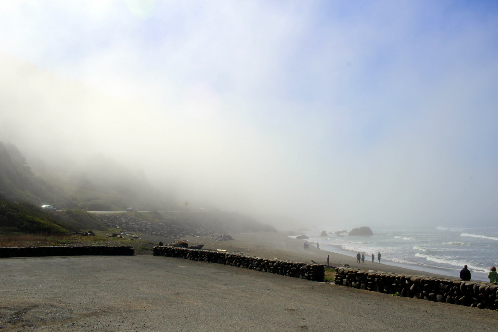
We were pulling away from the mainland. It was a strange feeling. When I think of "national parks" I don't think of islands. But I was en route to Channel Islands National Park, one of our island-based parks.

The Channel Islands are a set of eight islands off the coast of southern California, of which five constitute Channel Islands National Park. The only way to get to the park is by ferries that leave from the coastal cities of Oxnard or Ventura, or plane. I'd decided to take the ferry to Santa Cruz, the largest island. As we were leaving the pier, we came across a buoy and saw several resting seals (sea lions?).

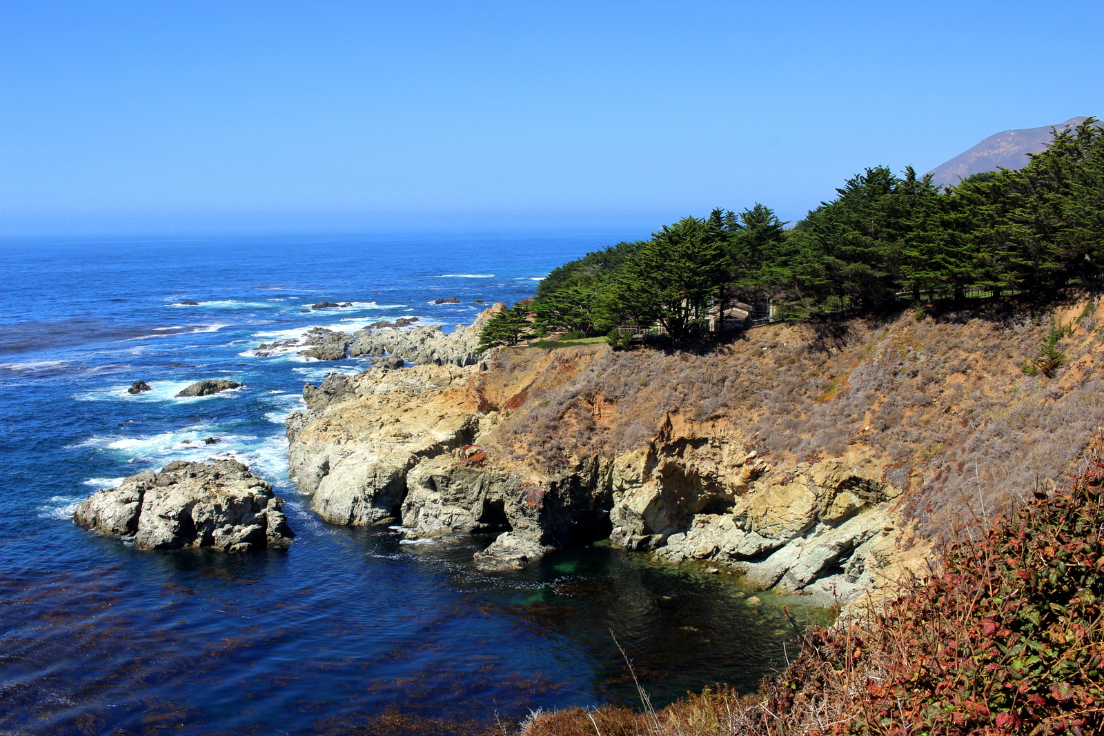
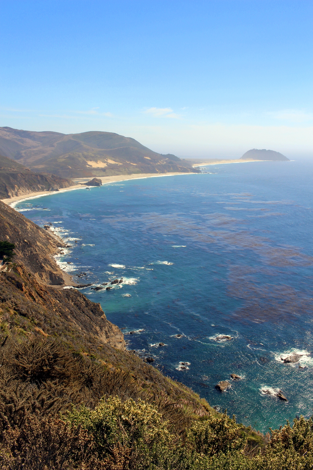
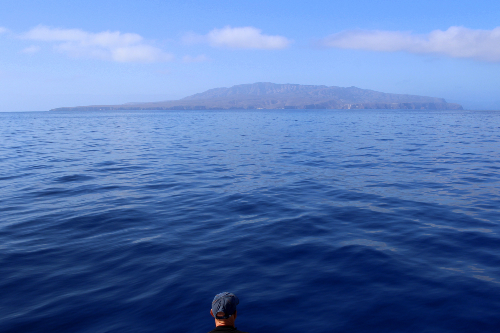
The sky was overcast, so I was a little wary of my day out on the island. But as we progressed away from the mainland, the sky cleared up, and the water turned bluer. It was turning out to be a nice day, albeit a hot one.

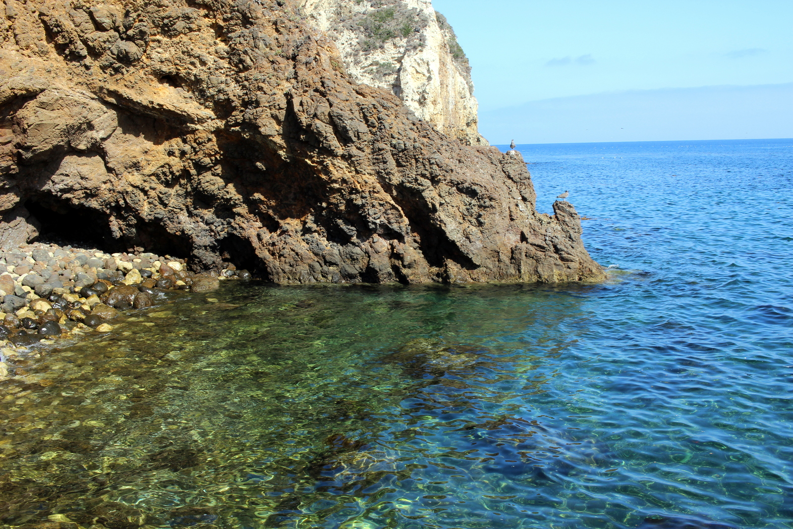
Finally, after just over an hour, we arrived at Scorpion Beach on Santa Cruz. The water was crystal clear. (I would later find out that it was crystal clean, too.)

I began in the visitor center, and looked at the scale model of the island. My plan was to ascend out of the beach and descend back over the other side of the ridge into Smugglers Cove. I heard the beach there was beautiful--a perfect place to touch the Pacific Ocean for the first time on this trip. The route was supposed to be 7 miles out and back. Given that it was 11 a.m., and the boat back to the mainland departed at 4 p.m., every day-tripper on my boat decided to go on a shorter hike, on the other side of the beach. Alone, I began heading up the dirt road towards Smugglers Cove.

Within 15 minutes, I was up on top of the small ridge. I could see the ocean, as well as Anacapa Island, also a part of the park.

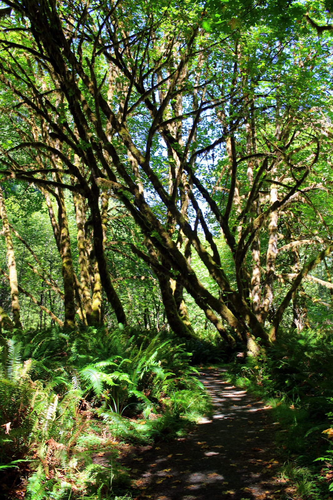
From there, I turned inland, following a dirt road. I was a bit surprised; I'd not expected the island to look this barren.

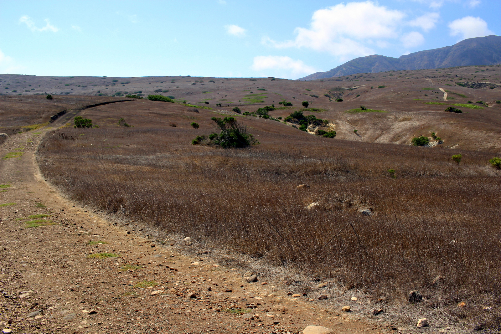
Eventually, I made it over the ridge and found myself looking into Smugglers Canyon. I'd now descend to Smugglers Cove, which was at the bottom of the v-shaped notch on the right edge below.

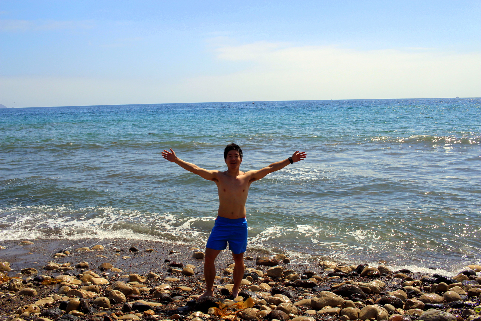
I love fast descents. This one was fast. The decline was relatively modest, but still steep enough to fly. The trail was mostly dirt, with very few obstacles. I cruised down into the cove. A few seniors from the University of Santa Barbara were there, playing in the surf. I'd seen the Pacific almost a week ago, but hadn't yet touched the ocean, so I decided it would be a great opportunity to swim (and cool off--it had been an incredibly hot traverse). I was a bit worried about swimming in the ocean, because the salt and sand greatly increases the risk of chafing. Ironically, that aspect of the dip turned out to be fine. Stupidly, in hopping on some of the sharp rocks, I split open the skin on the bottom of my foot on one rock. Thankfully, it was pretty shallow. I cleaned the sand out from under my skin, and hoped that nothing worse would come of that misstep. The water was refreshing.

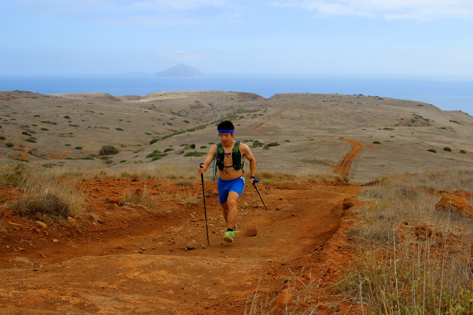
It was now past noon. After snacking on some food I'd brought (Channel Islands is unique in that you have to bring everything you'll need--aside from a couple pit toilets and a water spigot, there are no facilities on the island), I decided I was going to try and reach Montanon Ridge, one of the high points of the island, and the perfect place to see 360-degree views. It was a hot, sunny day, so I decided I'd run the rest of the day without my shirt. Shirtless, I began the ascent out of Smugglers Cove and continued up the ridge. The ascent was not insanely steep, but it got more taxing the closer I got to the ridgeline. 

I finally reached the ridge. On the other side of the ridge was fog and clouds. I loved being high up and seeing the mist flow over the top of the mountain and dissipate on my side of the island. I looked back to where I'd come from.

It was now getting really hot, and I was also out of water. So I decided I'd head back towards the beach, rehydrate, and also spend the hour before the ferry left cooling off at Scorpion Beach. On the way back, I saw a couple island foxes foraging for food. They were super cute, and didn't really mind my presence.

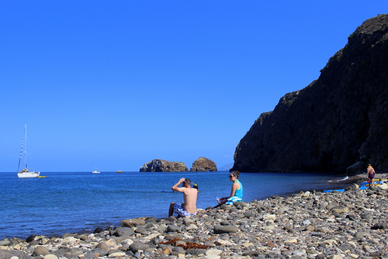
I made it back to the beach and found that most everyone was gathered there. People were chilling on the shore, splashing around in the water, snorkeling, kayaking, or stand-up paddleboarding. My core body temperature had risen--I could really feel the blood pulsing through my veins--and I used this time as an opportunity for a cool bath in the ocean. It was the perfect end to a great day on the island.

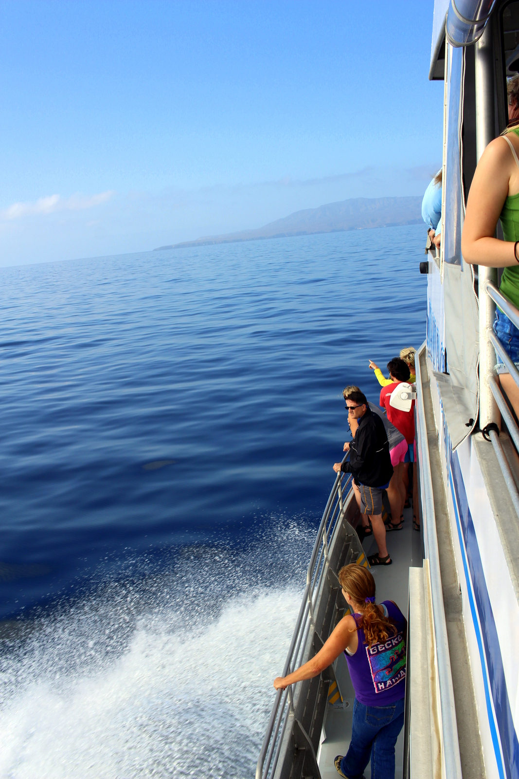
We loaded up and left promptly at 4 p.m. The return voyage included a special surprise. The captain had mentioned he had seen a pod of dolphins on the way over here. We would try and catch them on the way back to the mainland.

Not 10 minutes into our trip, we spotted our first dolphins. I scrambled to catch a glimpse, thinking that it would be hard to see them. I slightly regretted not bringing any other lens but my 24mm prime lens, which is meant for landscapes and has no zoom. 

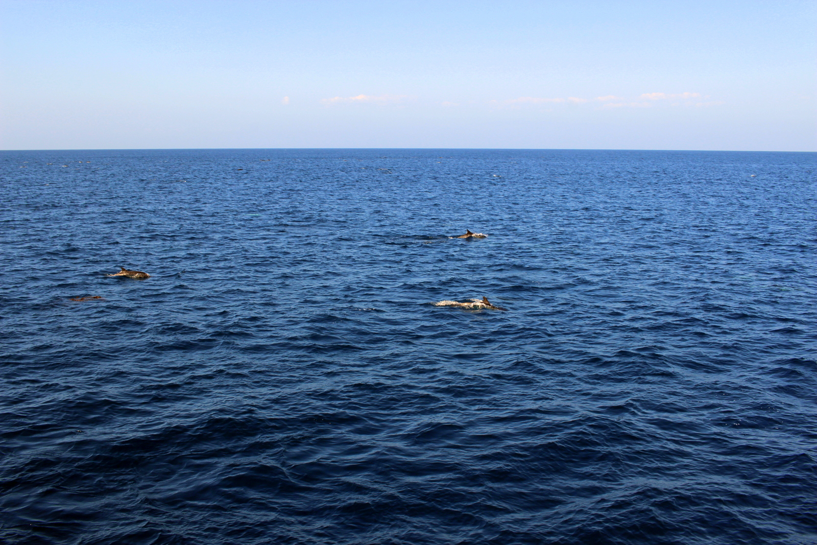
What I didn't realize was that we eventually swam right over the pod--and that the pod included roughly 1,000 dolphins! They were like a swarm around our boat. Seeing all these dolphins frolicking in the ocean around us really brought a smile to my face.

Things only got better. The captain said he would create a wake, and that the dolphins would surf in that wake. Sure enough, as the captain sped up, we could see the more athletic dolphins surfing the wake created by the ferry. They jumped in and out, in and out. Again, I was smiling.

2015-09-22 17.17.00.jpg

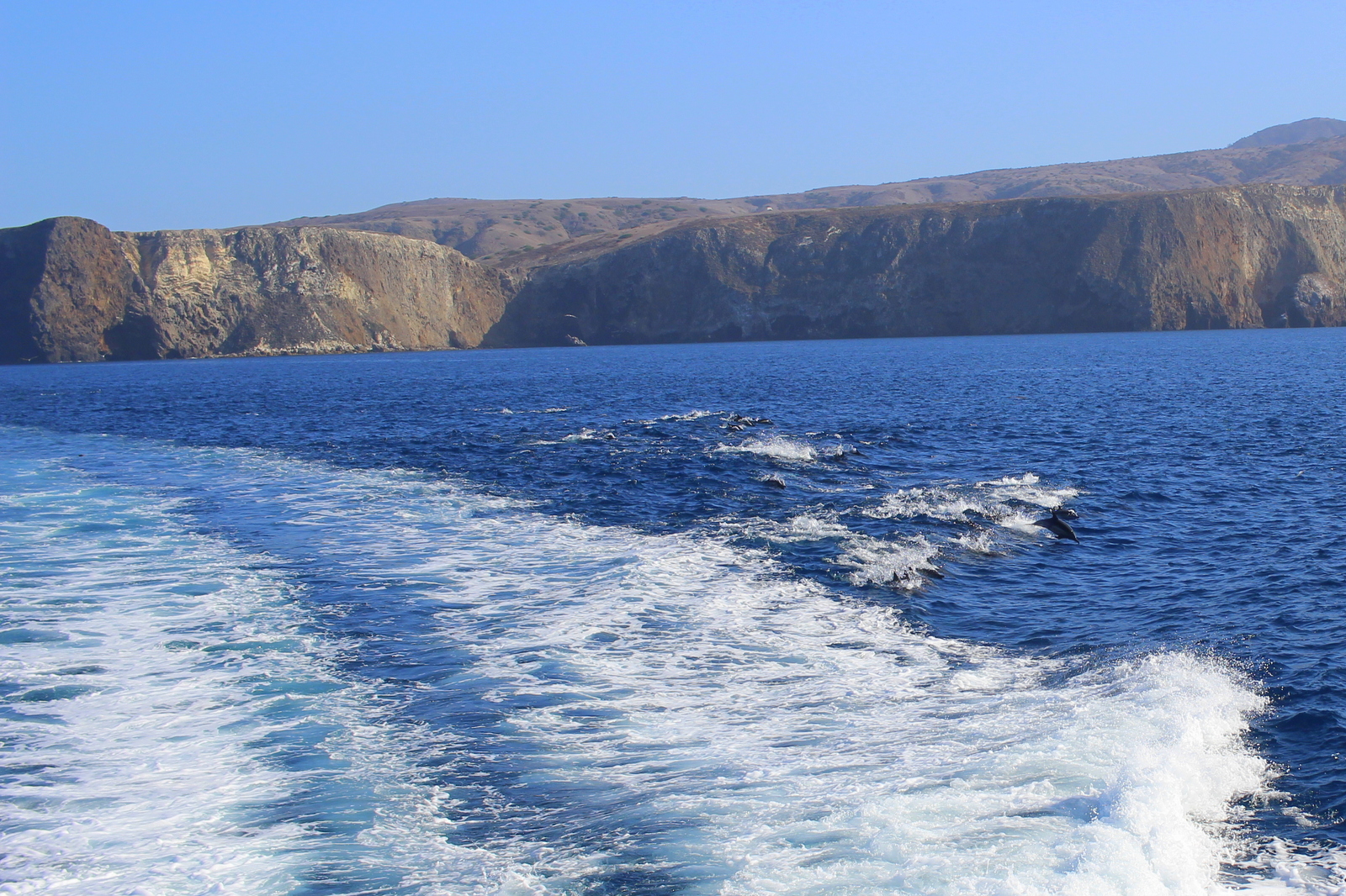
I love moments like these. The ones that are so memorable but were completely spontaneous and unplanned. I'd had absolutely no expectations that I'd see any marine animals on the boat ride. And I'd gone whale watching and whatnot before. But seeing the thousand-strong pod was one of the coolest things I'd seen while on a boat.

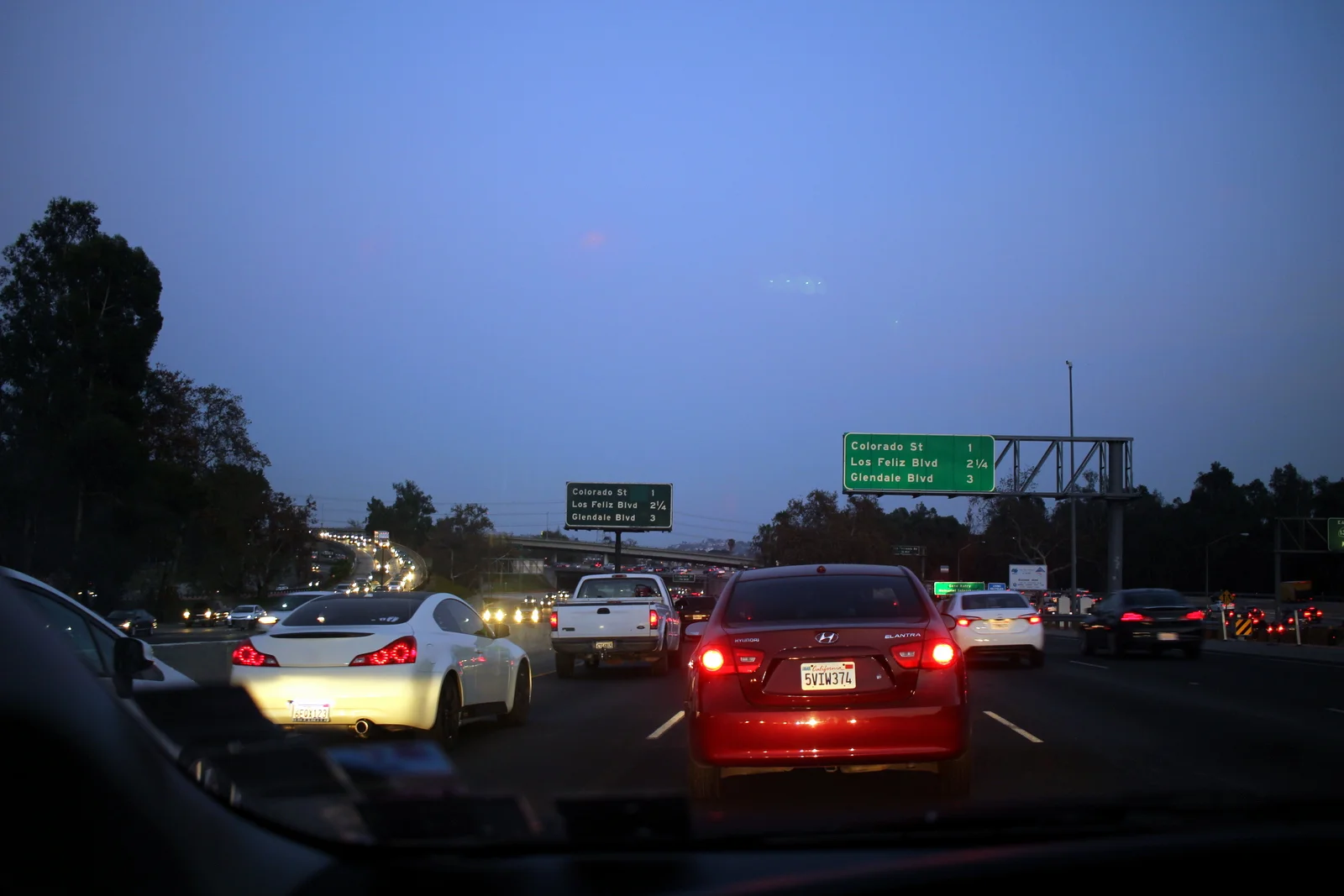
We eventually docked in Ventura just past 5 p.m. I got into my car and booked it into Los Angeles. I was heading in to the city to stay with my friend, Molly Mitchell (of @meandmyboifriend fame). The traffic was wretched. I realized that L.A. was not the city for me. It was so spread out, and so car-filled, that I felt lost the entire time I was driving into the city. I was thankful for Google Maps.

After showering at Molly's (and realizing that running shirtless was a bad idea!), we headed out on Sunset Boulevard for burgers and, most importantly, churro ice cream sandwiches from Churro Borough. They were incredible.

It was another fulfilling day, this time in L.A. (rhyme intended!).

Day 25: Big Sur, CA + Santa Barbara, CA by Wookie Kim

Having spent my planned rest day yesterday sweating and cranking up hills, I decided I'd really take it easy today. This was partly out of necessity. My next destination was Channel Islands National Park, and I needed to be at the ferry pier by 8 a.m. the next day in Ventura, a city just west of Los Angeles. I was also planning to drive along the Pacific Coast Highway through Big Sur and knew that the windy coastal roads would make for slow progress. I had almost 400 miles ahead of me. It would be a long day.

But that didn't mean I wouldn't run. I'd stayed out late last night, catching up with friends, so it would've been nice to sleep in and just hit the road. But I chose to wake up at 5:30 a.m. and make my way over to Fort Mason to catch a workout, a gorgeous sunrise, and breakfast with the November Project SF tribe.

November Project has been an amazing part of my life over the past few years. I started working out with the Boston tribe, and then ended up with the Baltimore tribe this past year. The workouts are always great, but the camaraderie and community--AKA the people--is what makes NP so special. I felt completely at home during the workout, and had one of the coleaders, Paddy Ó Laoghaire, to thank for being so welcoming.

After returning to my friends' place to shower, I headed over to the Mission to visit Clever, a company that my friend, Dan Carroll, co-founded a few years ago. Clever has been revolutionizing the way teachers, schools, and school districts manage student data. In fact, just that morning, the New York Times had published a piece on the company and, as I arrived at the (gorgeous new) office, Dan was waiting in the reception area tapping out a Facebook post that shared the article. Dan gave me a tour of the office, and we chatted about the latest things Clever was pursuing and my trip. At 11, Dan had to leave for a meeting--and I needed to hit the road--so we parted ways. But not before I snagged a Clever t-shirt!

It's always inspiring to learn more about people and organizations that are doing great things. Dan and the Clever crew are certainly in that category. I was glad I'd visited.

I hit the road for Big Sur. There have been several moments where the driving has been on par with the running. Today provided one of those moments. As I drove on the Pacific Coast Highway, on the cliffs high above the Pacific Ocean, I felt completely at peace. The drive took forever, but that was okay. I got to see the coast like this.

Along the way, at Dan's recommendation, I stopped for a late lunch (AKA at 3:30 p.m.) at Nepenthe, a family-run restaurant built into the cliffs overlooking the coast. The Ambrosia Burger hit the spot, and the multiple glasses of iced tea gave me just the boost I needed to continue my drive.

I continued, taking in the coastal beauty. I even saw wildlife along the way. I believe these are California sea lions, but they were enjoying an evening nap on the beach.

Before I knew it, the sun had set. It was past 8 p.m., and I was just pulling into Santa Barbara, a coastal town a couple hours west of Los Angeles. I was pit-stopping here for the night in an Airbnb before heading to the Channel Islands the following morning. My hosts, Karen and John, were very kind, and directed me to Super Cucas Taqueria, which served up a phenomenal meal--exactly what I needed.

I love ending a long day with a solid meal (as opposed to pasta and tuna, my standard camping fare). I demolished the plate and retired for the evening, eagerly anticipating what awaited me tomorrow--Channel Islands National Park.

Day 23: Redwood National Park, CA + Mendocino, CA by Wookie Kim

My first stop today, after leaving Ed and Elsie's place just north of Crescent City, was Prairie Creek Redwoods State Park (the previous night, I'd run in Jedediah Smith Redwoods State Park, a different state park unit co-managed by the NPS). Prairie Creek was 90 minutes further south along the coast. I was running in another redwood forest because I wanted to see how they differed, if at all, in different locations. I also wanted to give running in the forests in daylight a shot.

But I had plenty to marvel at even before I got to Prairie Creek. From Crescent City, I took US 101, which in this part of the state is called the Redwood Highway. Very quickly, it took me out to the coast and to my first view of the Pacific Ocean on this trip. I immediately decided to stop.

As I continued driving, I made additional stops to take in the views of the coast. I also got to sea level and beneath the fog/clouds.

2015-09-19 12.32.42.jpg

After about 90 minutes of driving, I'd made it to Prairie Creek. I spoke to a park ranger about possible easy trails. I'd been feeling a little tired from my double-run day yesterday (summitting Mount Scott in Crater Lake and running the Boy Scout Tree Trail in Jedediah Smith), and wanted something relatively easy. The ranger suggested the eponymous Prairie Creek Trail, with the Western Ridge Trail as a higher-altitude add-on. I wasn't about to disagree.

Running in redwood forests is a soothing experience. You just feel very secure amidst these tall, wise, and powerful trees. Prairie Creek was unique because it had some of the tallest redwoods around. Redwoods are all up and down the coast, but the ones in this grove were particularly massive. This is the first extra large redwood I saw.

I made easy progress through the forest. The trail was soft and wide--perfect for an easy recovery day. I loved running between the big trees.

Just to show a sense of the scale, here I am standing in front of one of the massive trees I came across. My arm span doesn't even get close to the width of the tree.

The forest was surprisingly cool on a surprisingly hot day. But it was incredibly humid inside. I began sweating much sooner than I'd expected. As I was running, I kept looking up and cramping my neck a bit. There was just so much to see, and most of it was above eye-level. Heck, the exposed root system of a fallen tree was nearly double my height!

I particularly enjoyed seeing areas of the forest where sunlight shone in to create contrasts of light and dark.

I also continued playing while running between the trees. Here, I'm jumping off a little ledge between two trees.

I made it to the first intersection and proceeded up Zig Zag 1 to the West Ridge. It was a relatively steep ascent off of the forest floor. And I could finally now see the redwoods more at "eye level".

Running the ridgeline was a treat. I was a couple hundred feet above the creek, and it really felt cool to run high up and see redwoods in all directions. Again, the forest was just so impressive to see.

I made it off the trail at 2 p.m. I was starving. Back at the visitor center, I asked a ranger if there was food nearby. She mentioned that the first town I'd come across on the way south had a roadside burger shack that was delicious. I stopped for lunch at the Snack Shack, sat by the roadside, and ate a burger, just like she'd suggested.

I was still 4+ hours away from where I wanted to camp that night. I was basically still half a day behind, and hadn't made up the time. It didn't help that I drove slowly along the coast, stopping every now and then to take in the coast line.

As I continued driving south towards Fort Bragg and Mendocino, the sun finally set. It looked a bit like an atomic bomb blowing up on the horizon.

Given that it was a Saturday night on a weekend with nice weather, I should've planned ahead with lodging. I didn't. I ended up reaching the state park (Van Damme State Park) in which I'd planned to camp only to find out that all the sites had been taken. I frantically scrambled around the area, looking not only for other state park campsites, but also simply any inn, motel, or hotel that had availability. There were no rooms. Finally, at the entrance to one state park, a ranger gave me a sheet with a list of all the private campgrounds in the area. It was already dark, and I still didn't know where I was sleeping (was I about to sleep in my car for the first time?), so I dialed up each place with gusto. I eventually found an RV park that had tent sites available. I was the only tent in the entire campground. Let's just say I felt a bit out of place as a result.

I set up my tent, and then decided I'd head into Fort Bragg for dinner. I'd passed North Coast Brewing on the way down, and figured beers would cool me off after another great day on the trails. It was a delicious meal, and a delicious flight of beers. I returned to my tent, and nodded off almost immediately. 

It was another great day on the California coast.