The can hissed and released a powerful, thick, reddish-orange plume exactly as it had been advertised. I was near the bottom of Sepulcher Mountain, in the northwest corner of Yellowstone National Park, and I was testing out my newly acquired bear spray. Every park ranger I spoke to seemed to think it was a bad idea to go solo in the backcountry in bear country. I wasn't about to not go. So the least I could do was be prepared.
But let's rewind to the beginning of the day. I woke up determined to have a better day than the day before (which I've already described as not so great). I'd decided not to run Electric Peak, but I had high hopes for the alternate: Sepulcher Mountain. This summit wasn't as high, but the ascent involved 4,000 feet of elevation gain over the course of 5 very steep miles. Thankfully, I'd chosen a loop, and the 7 miles back from the summit would be easier on the legs.
I made a quick breakfast (Birch Benders pancakes, obviously), before packing up and heading back down into the valley through Gardiner, the northern, Montana-based gateway to Yellowstone.

Gardiner is exactly what one might picture when one imagines a frontier town.
I made my way up the valley into the park and immediately to the Indian Creek campground--the site that had filled up by the time I'd arrived the day before--and snagged one of the open sites. Hah, I had a campsite in the park! I quickly set up my tent, changed into my gear, and headed to Mammoth Hot Springs, where I parked my car by the trailhead. I suppose the hot springs were pretty cool, too.

Mammoth Hot Springs.
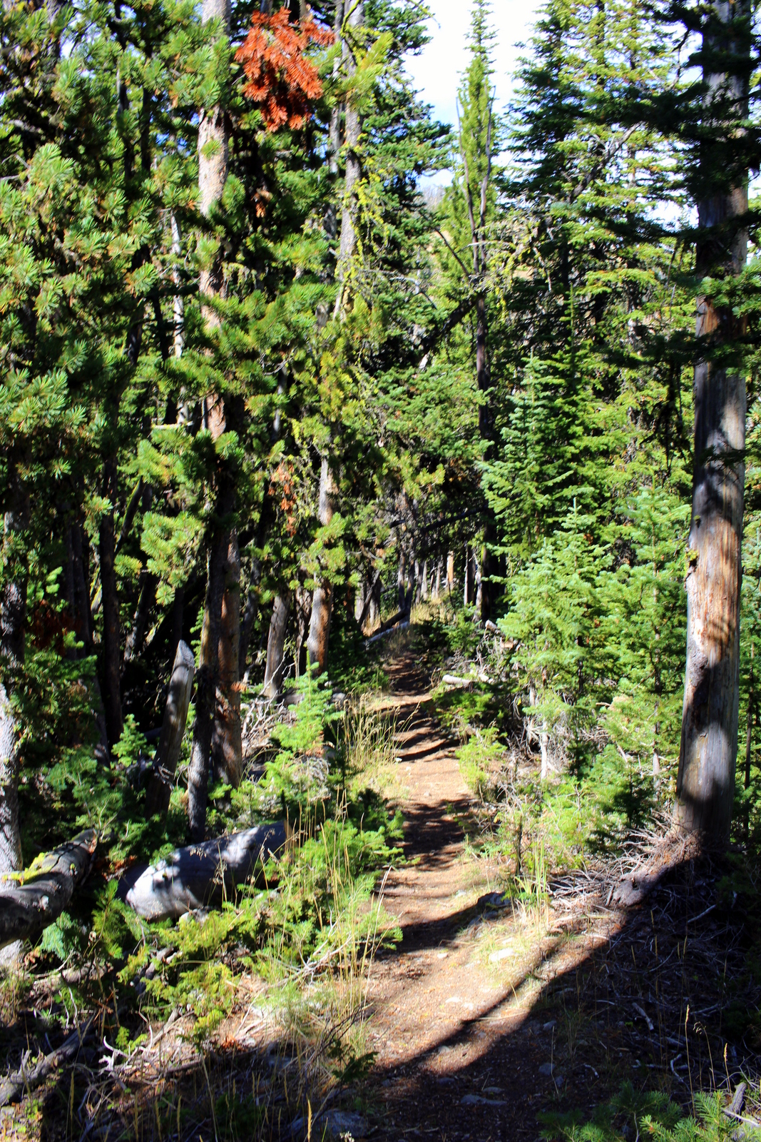
At around 11 a.m., I hit the trailhead. Immediately, I was in a deep, dark forest. Because I'd seen no one for the first 30 minutes, I figured now was a good time to test my bear spray. It was easier to deploy than I expected. Nevertheless, I practiced quick-drawing it from my fastpack's chest pocket. I'd heard plenty of stories of people getting mauled, despite having bear spray, because they either did not have it readily accessible (i.e., it was in their pack) or did not know how to deploy it immediately. I wasn't about to make that same mistake. I also knew that bears can run 50 yards in 3 seconds, so there would be no room for error. I practiced my quick-draw. I got pretty good at it. I had no way of timing it, but I think I had the safety off and pointed at the ghost bear within 1 second.


As I continued ascending through the forest, I grew excited. This was my first serious climb (though I suppose Harney Peak was pretty serious, too), and I was eager to experience my first epic view. Barely a mile in, I'd already passed through the forest and come into a burn area--the dead trees littered the meadow, which had no shade.


The ascent through the burn area was on pretty steep switchbacks. At one point, I looked back and saw how far I'd already climbed.

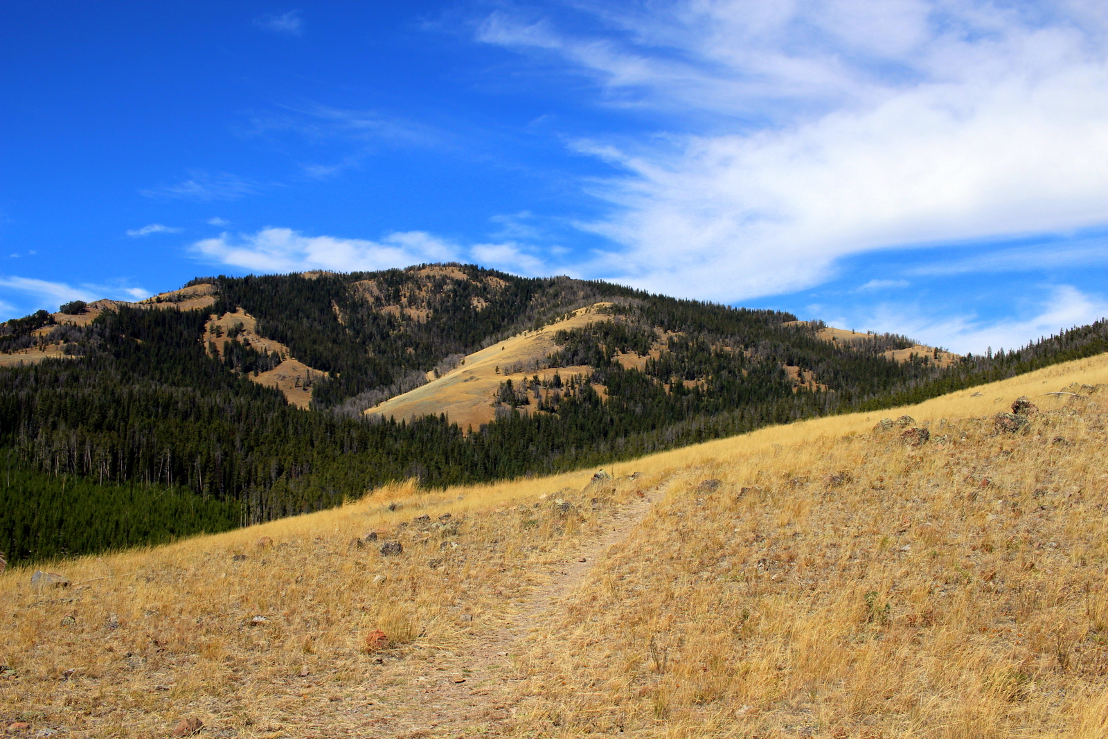
I got into a nice rhythm with my trekking poles. On the semi-steeps, I was able to make quick progress with one pole planted with each step. On the super-steeps, I double-poled up. (After using the Black Diamond Carbon Zs for the Twisted Branch, and the first 12 days of this trip, I simply can't imagine doing any serious trails without them.) Soon, the burn area was behind me, and I was back into a forest, this time on a ridge line.
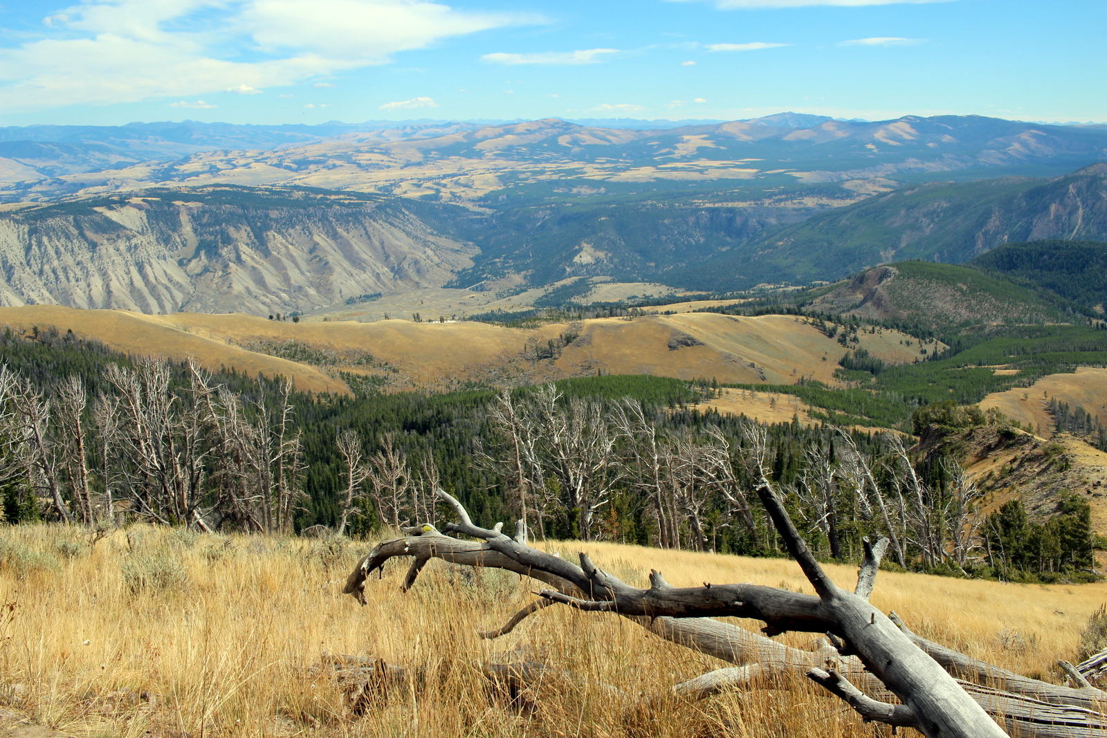
I felt totally at ease throughout. It was a cool day, probably in the mid 60s, but windy enough so that it felt much cooler. So there was no worry about heat. Before I knew it, I was out of the forest, ascending very steep meadows. And then I saw my first glimpse of what I'd climbed by looking over to the northeast. In the valley below was Gardiner. You can almost see the little campground I slept at last night, by the creek to the upper-right of the picture.

Getting to see views like this is one reason why I run. The excitement grew. I knew I was less than a mile from the summit, but the slope felt like it only got steeper. I plodded along, still keeping my heart rate under control (surprisingly), and just chugging along. I then saw my destination through a gap in the trees.

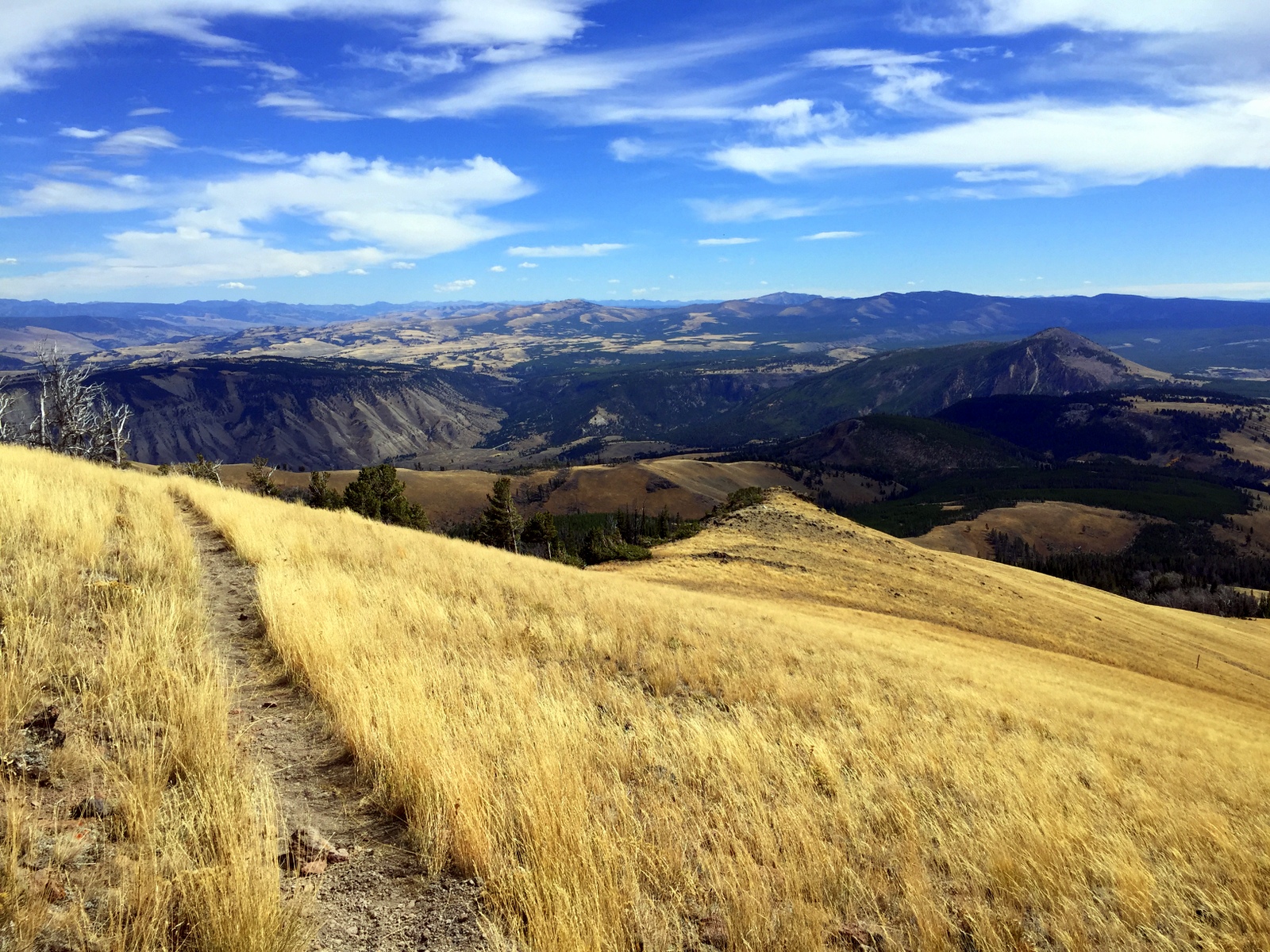
I pushed for a few more minutes, before I came to the final ridgeline leading to the summit.

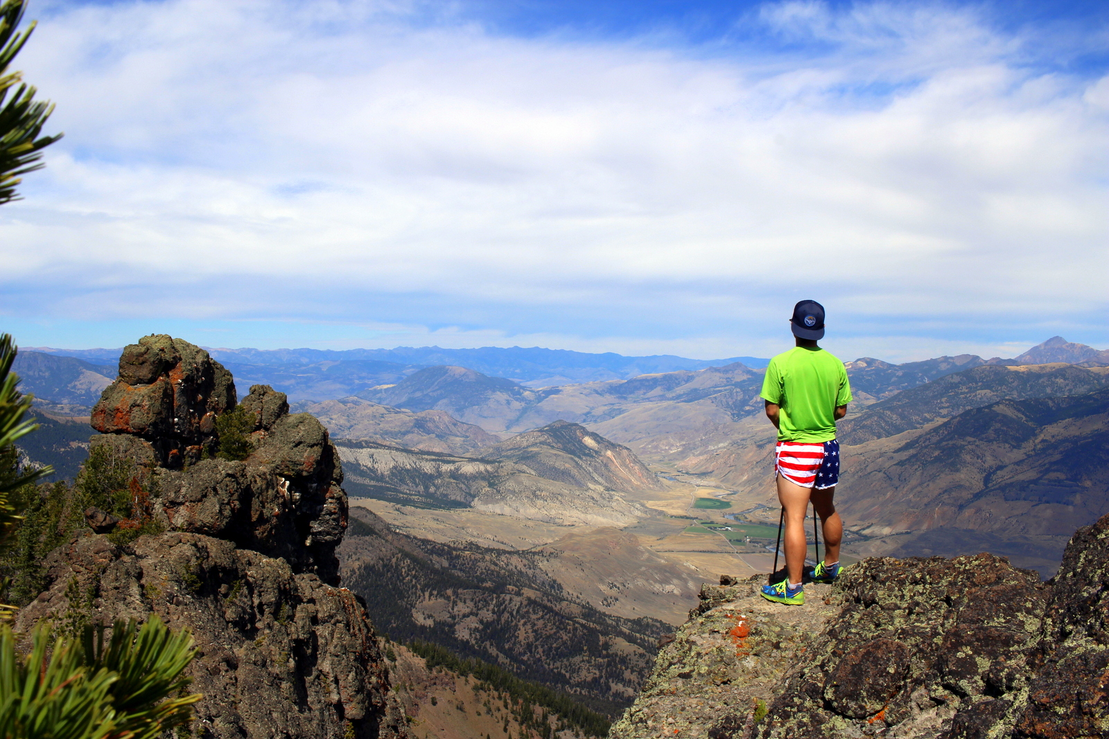
From here, it was all adrenaline. I crushed that last half mile or so to the summit. I'd made it to the summit in under 2 hours; if I'd wanted to, I could've finished the entire loop in 4. Yet, the park rangers had noted how "strenuous" this hike was, and how it would take 6 to 8 hours. I guess I'm in decent shape. When I reached the summit, I took some photos, emptied my shoes of rocks and sand, ate a KIND bar for a summit lunch (of course, this was not the only food I ate--I'm religious about eating ~200 calories every 45 minutes), and simply soaked it all in.

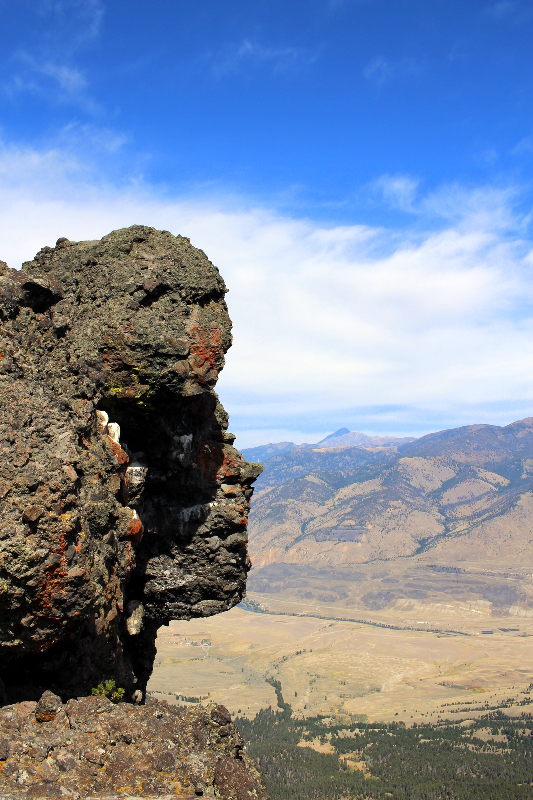
After spending around half an hour, I was ready to descend. But before I did, I looked over to my west and saw the peak that I'd originally planned to hit--Electric Peak.

It was so grand. Given how easy Sepulcher Mountain had been, I had a pretty good feeling that Electric Peak would've been entirely doable. But I was still ultimately okay with not having made the attempt. I'm glad to have gotten my feet wet on solo hiking in bear country with something a little closer to the rest of humanity.
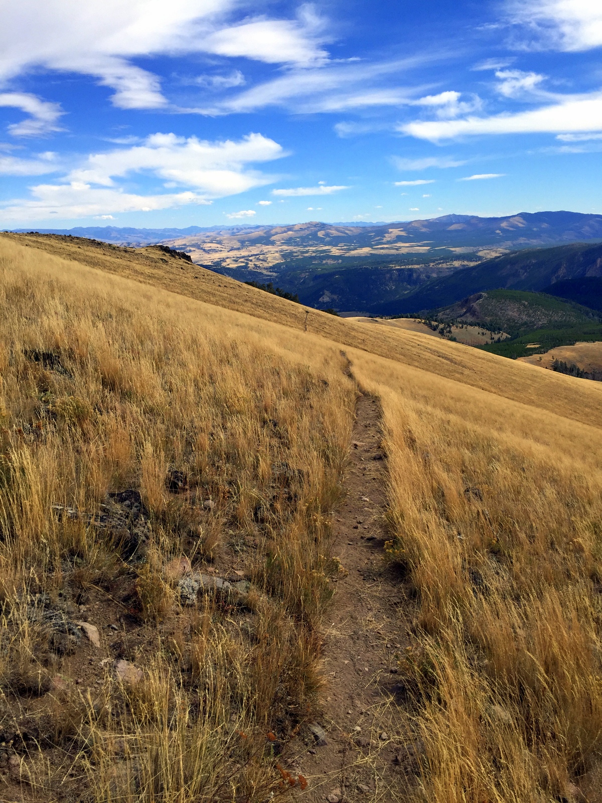
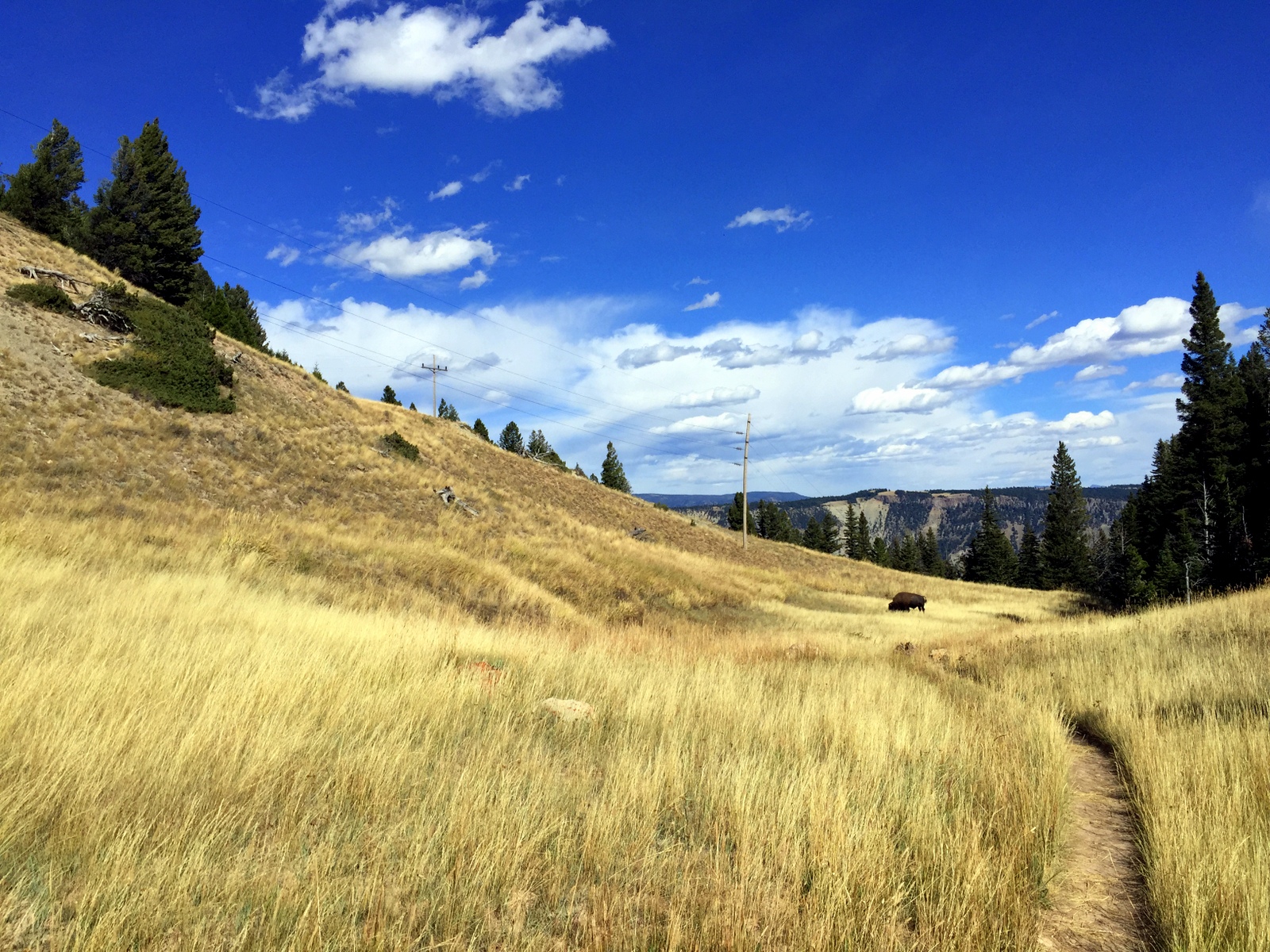
Now it was time to descend. Interestingly, the scenery on this side of the mountain was entirely different. It was mostly grassy meadows. Given that I could see for hundreds of yards, if not miles, I decided there'd be no risk in running the descents in the open fields. The only bears that could be hidden within were of the gummy or teddy variety.
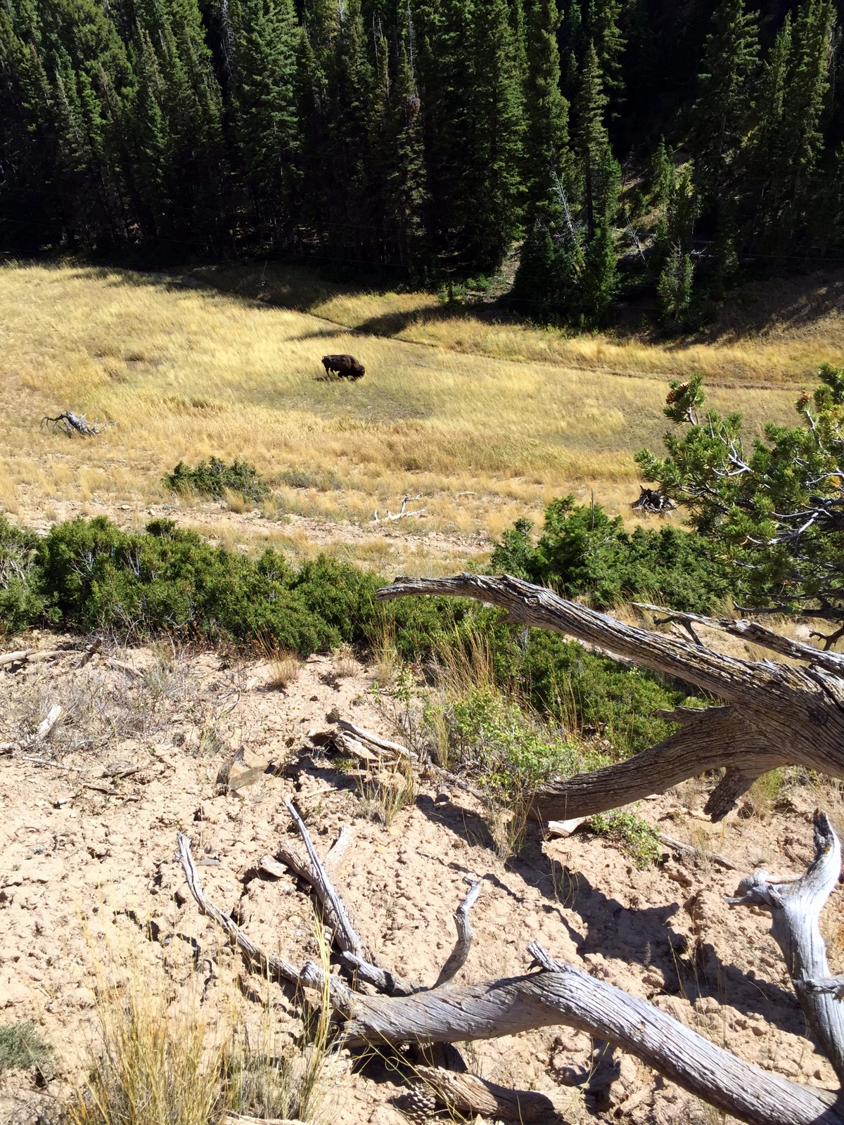
When I was about 9 miles in, I reached an obstacle: a bison in my path. This had happened before. But this time, I was alone. I opted for the high ground, over and around him. He continued munching on grass while I tiptoed past him and back onto the trail.

Surprisingly, with 3 miles to go, I was out of water. One of the hardest things about rationing water using a Camelbak system is that you never know how much water you have left. I'd gone through the 70 ounces I started with way too quickly. I knew I had another hour at least, and it was getting hot in the valley. Most importantly, I had plans to do another serious climb the next day, and I didn't want to come out of this one dehydrated.
Thankfully, I'd brought my Sawyer water filter with me. But where was the water? As I descended, I finally came across a small stream. I dipped my water pouch into the water, screwed on the filter, and squeezed out some cool, clear creek water. It was so refreshing. It felt good to know that I could safely drink water (assuming I could find it) going forward.
The rest of the hike was uneventful. I descended back through cool forests. I let my bear bell jingle, and every now and then I hooted or yelped or ha-ha'ed into the forest to alert any bears to my presence. It all seemed stupid, but I'd rather seem stupid than accidentally ambush a bear and get mauled.
I popped back out by Mammoth Hot Springs. In 4.5 hours, I'd done the complete loop to the summit, around the other side, and back. What a day.
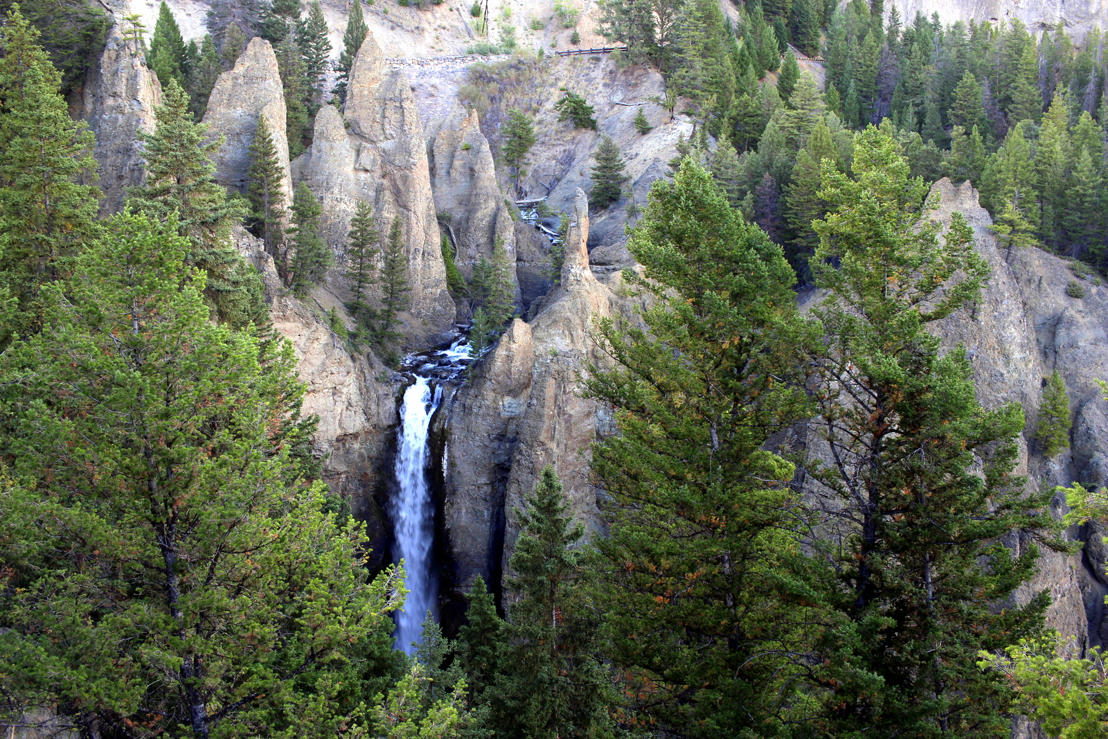
Wait, the day wasn't over! It was only 3:30, and there was plenty of sunlight left. I decided I'd do a driving tour of the upper portion of the figure eight-shaped Grand Loop Road. Simply put, Yellowstone is breathtaking. The focus for this segment of my driving tour was on the Grand Canyon of the Yellowstone. I stopped at all of the lookout points. Eventually, the sun began to set, right as I was making my way back to the campsite at Indian Creek that I'd managed to snag. I grinned when I saw that the "FULL" sign near the turnoff. Here are some photos from my driving tour in the late evening.